
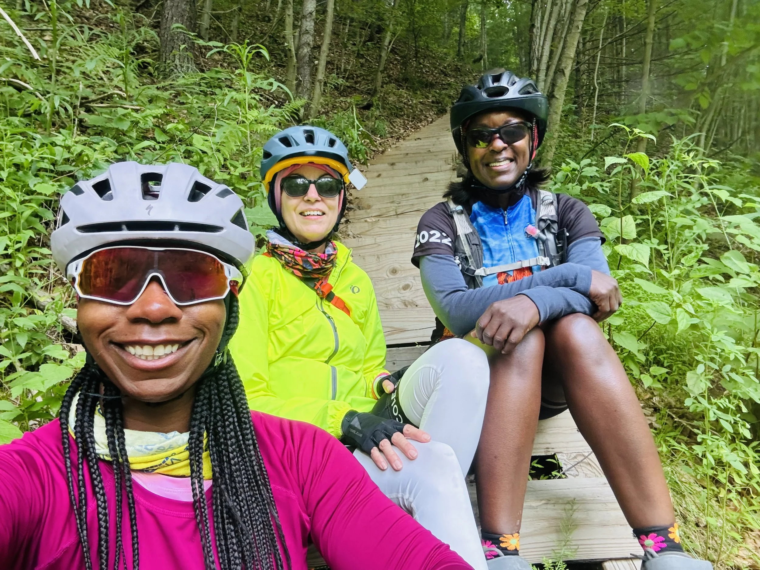
Recap: Bikepacking the Pennsylvania Grand Canyon Loop and the Entire Pine Creek Trail
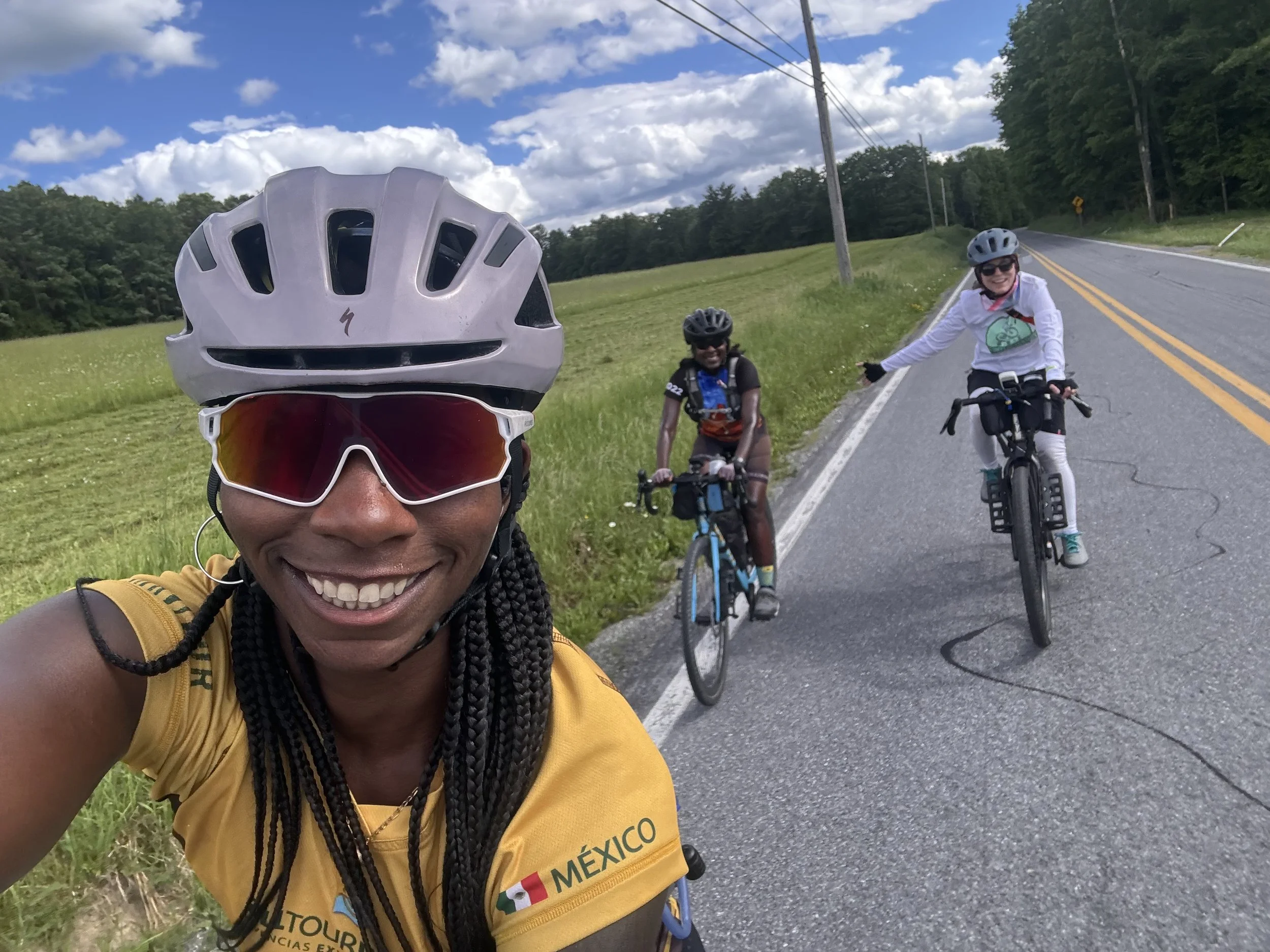
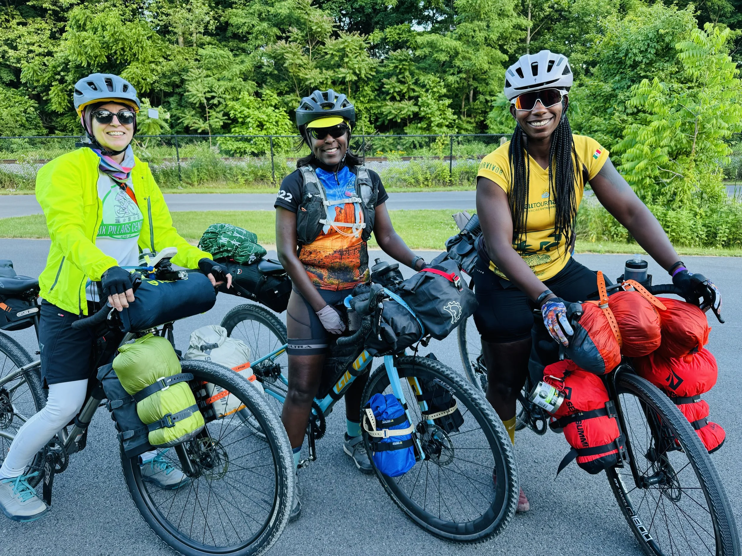
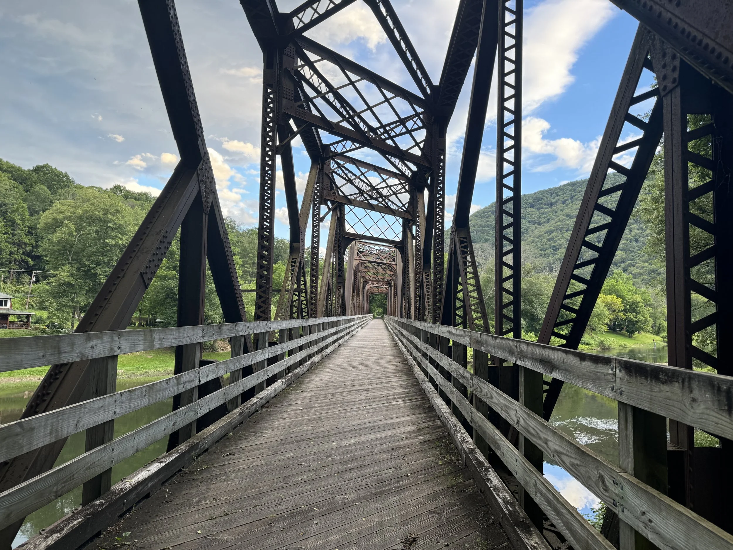
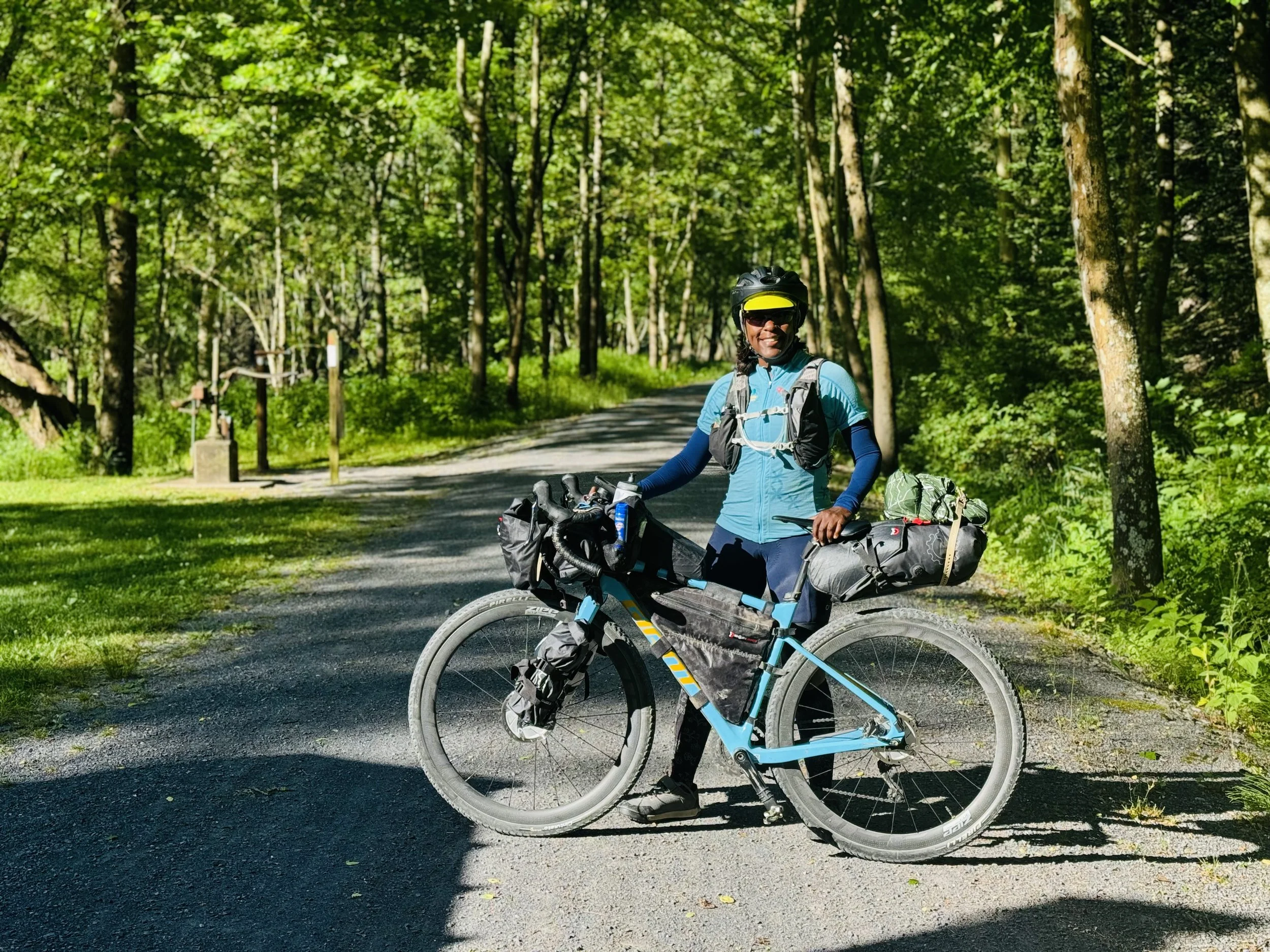
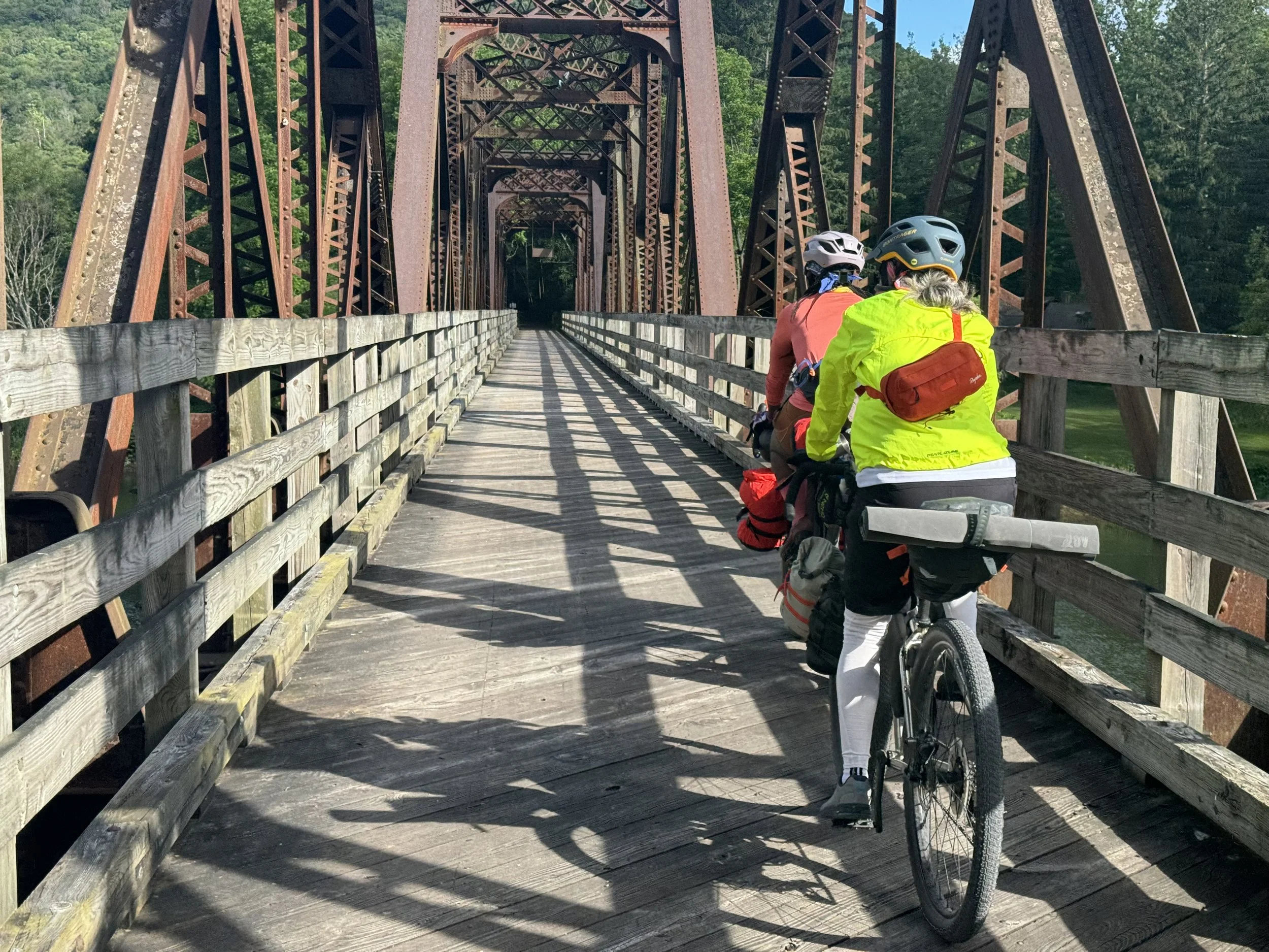
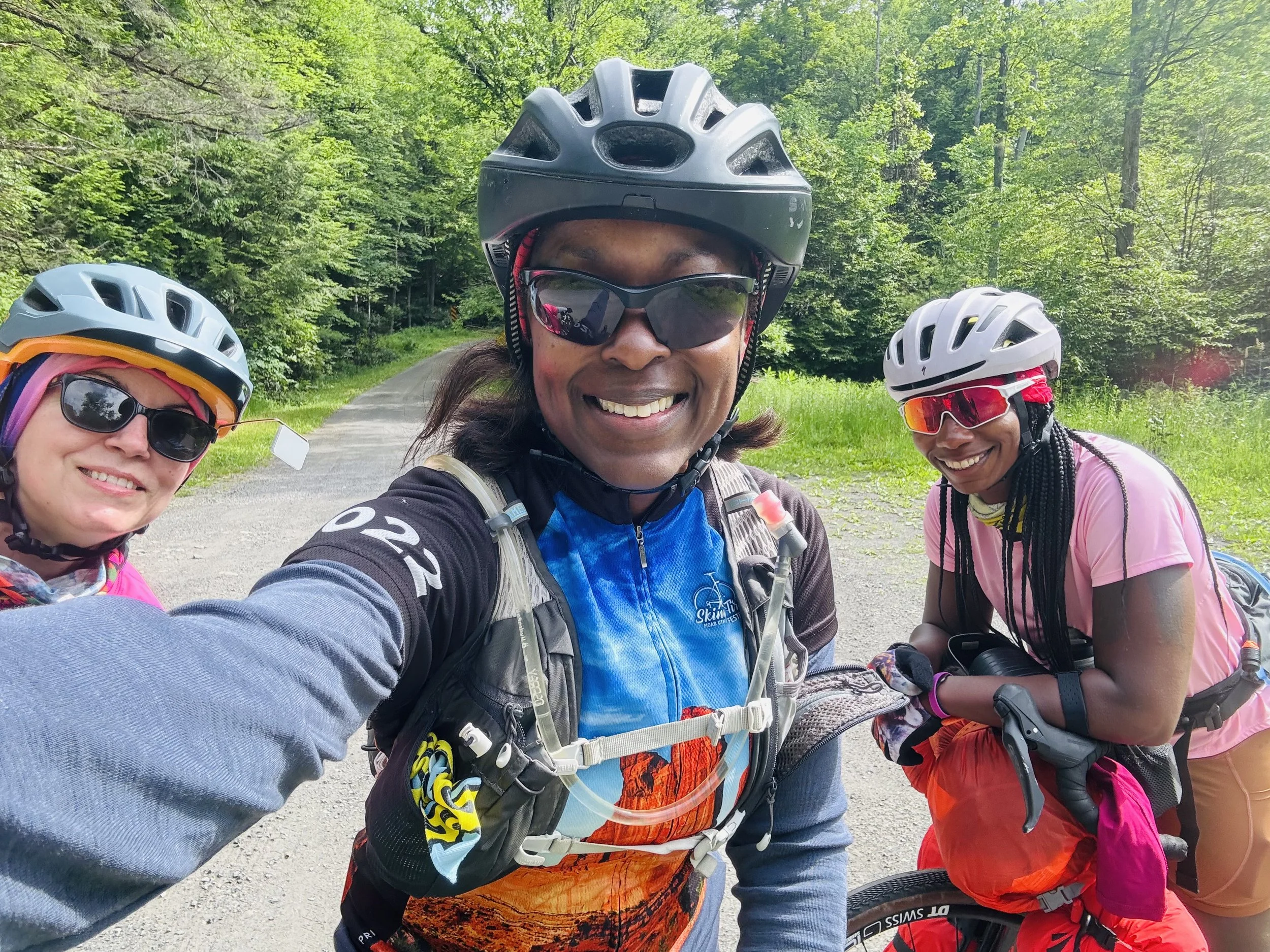
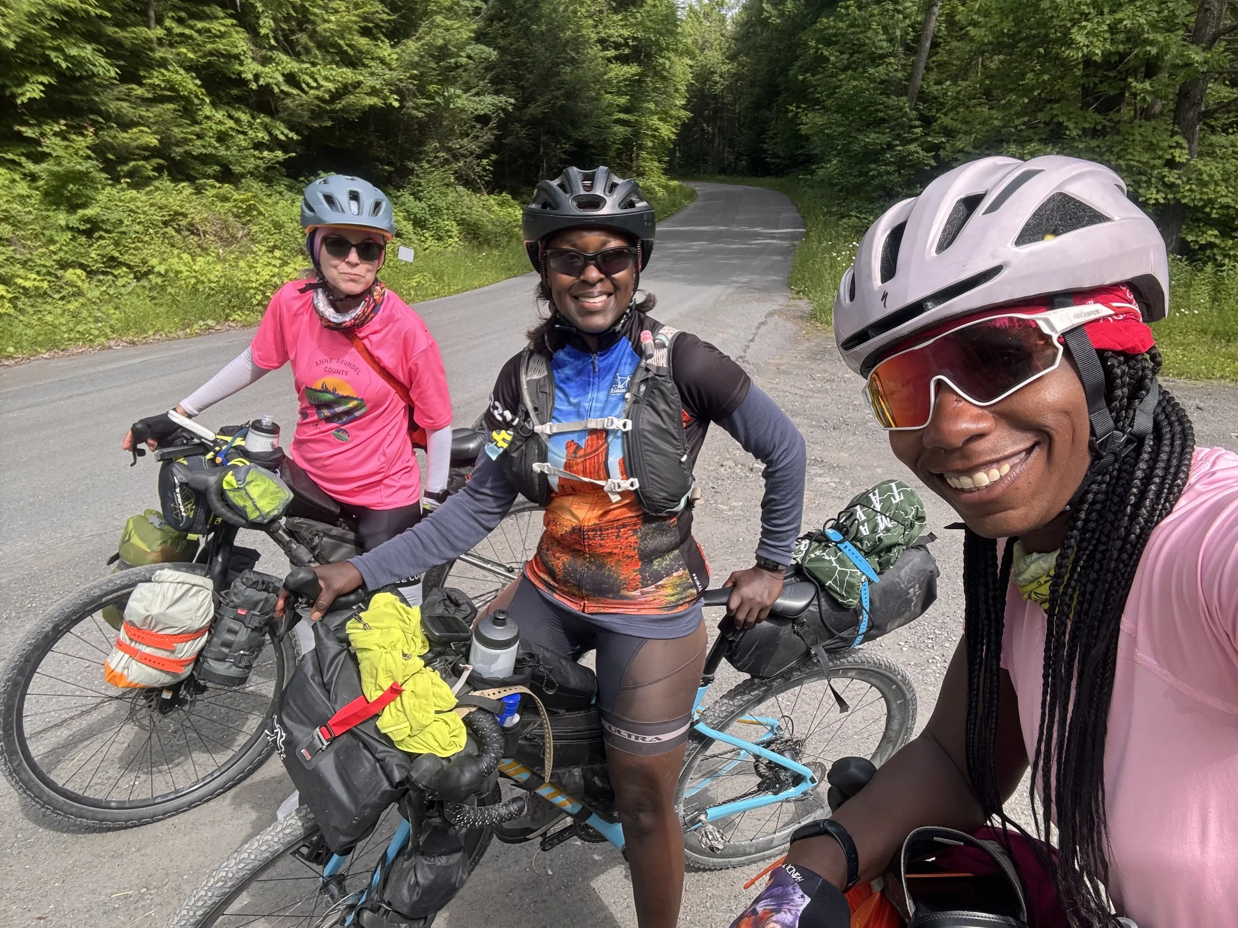
A few years ago a few friends joined me to ride the UnPaved gravel race in Pennsylvania. The day after the race we rode a portion of the Pine Creek Trail and thoroughly enjoyed the picturesque trail along Pine Creek with its trestle bridges and smooth gravel surface. We all swore we would come back to ride the whole trail. Alas they were not able to join me; but Tia from Maryland, who I met at a Girls Gone Gravel event, and a friend of hers, enthusiastically agreed to accompany me on a 4 day adventure in PA.
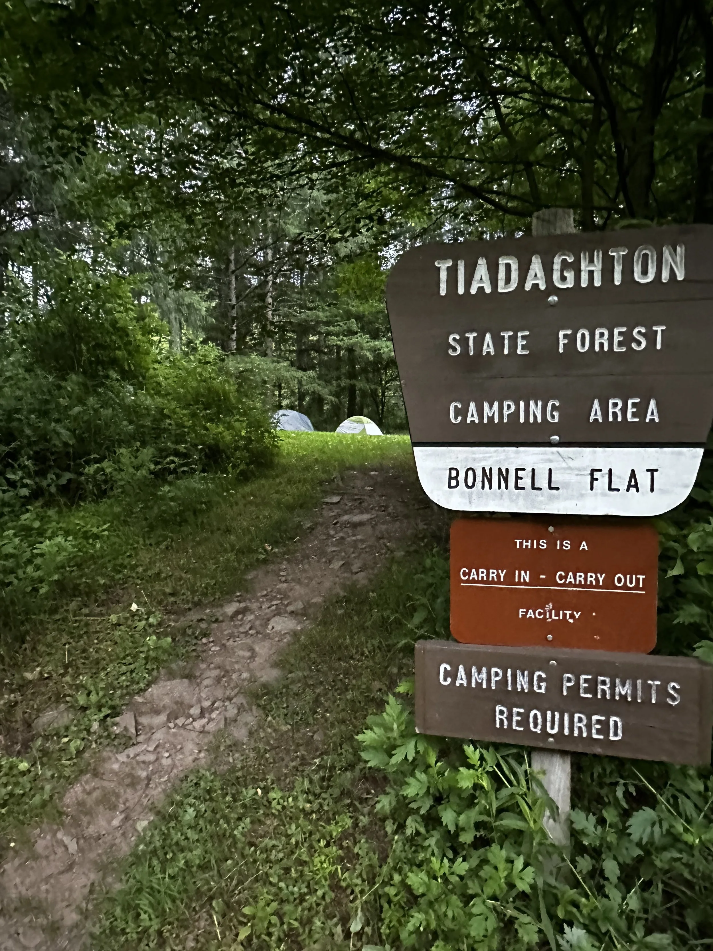
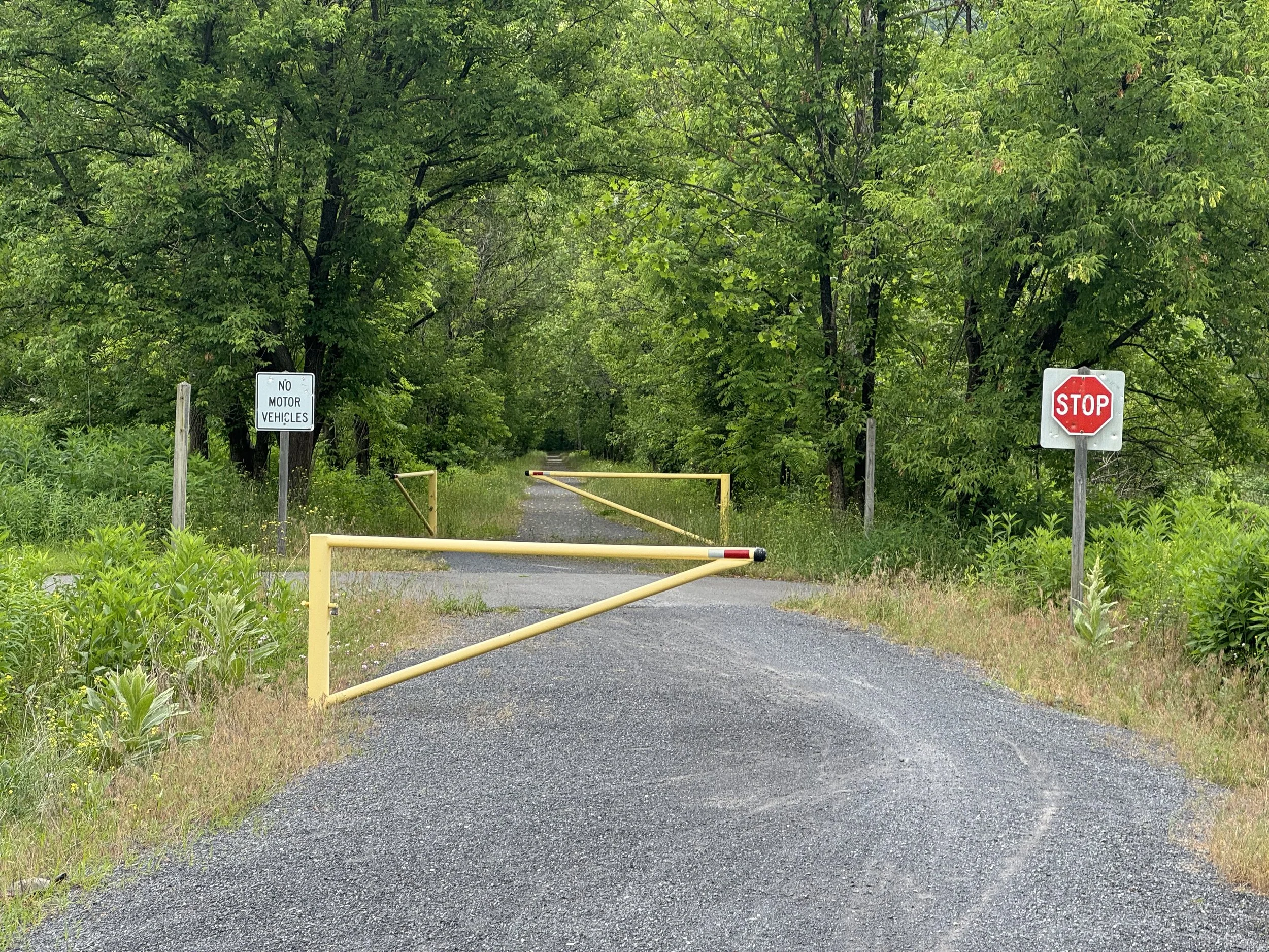
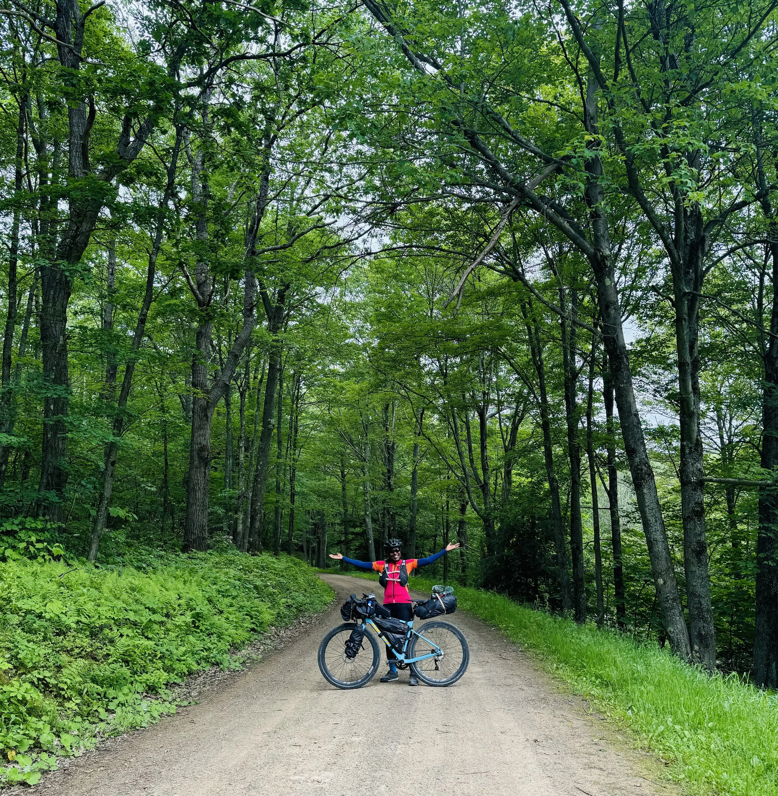
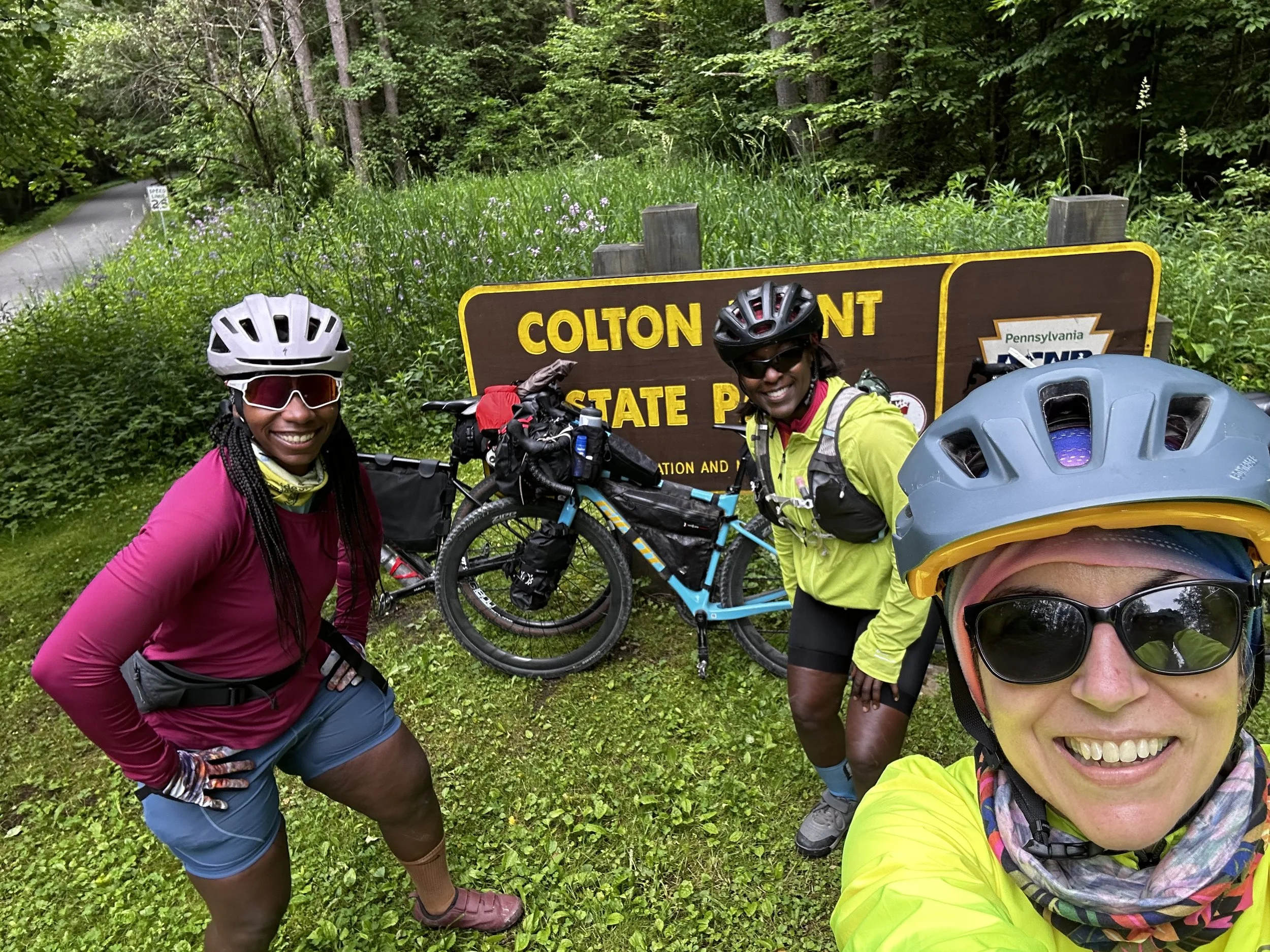
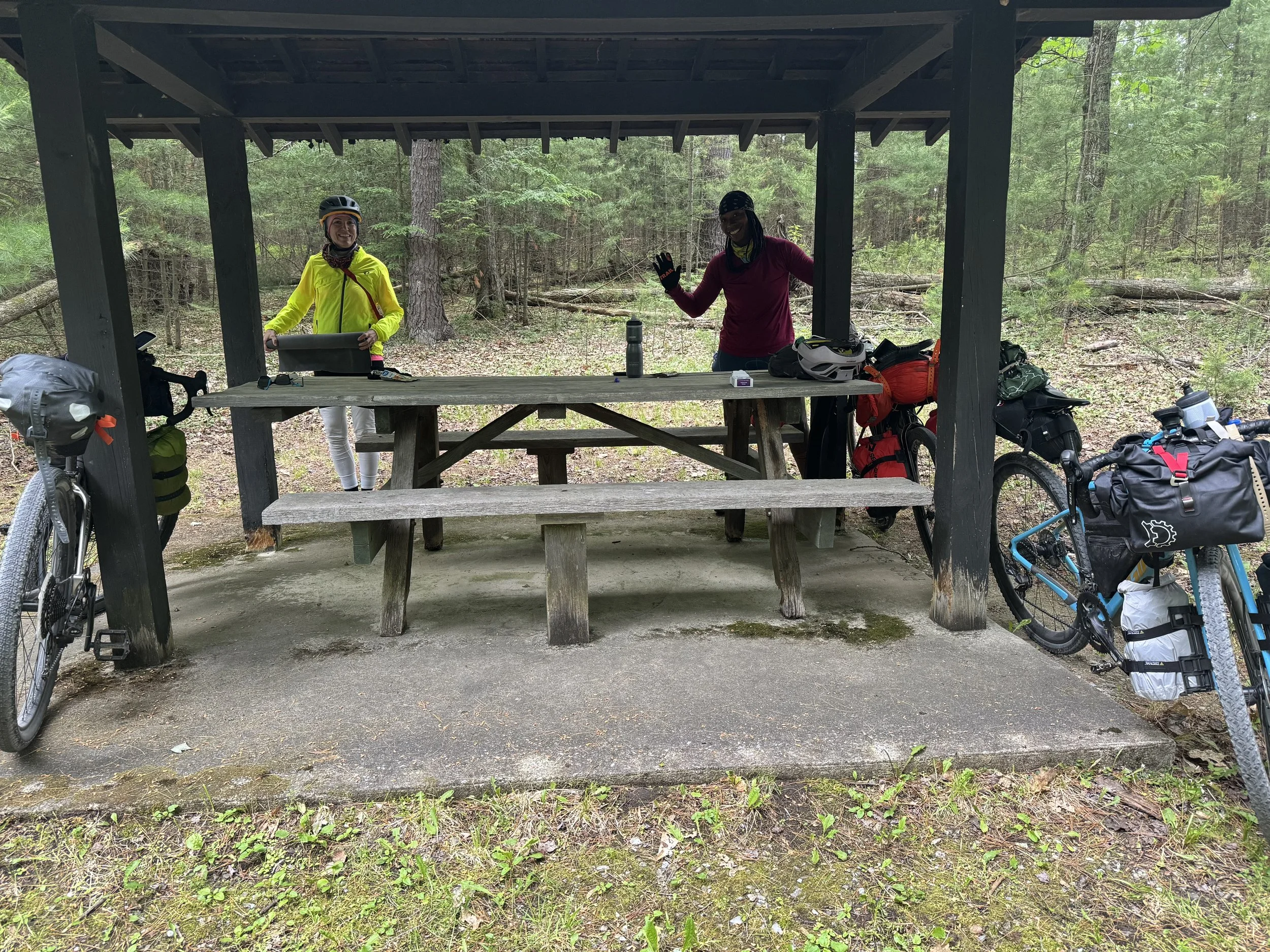
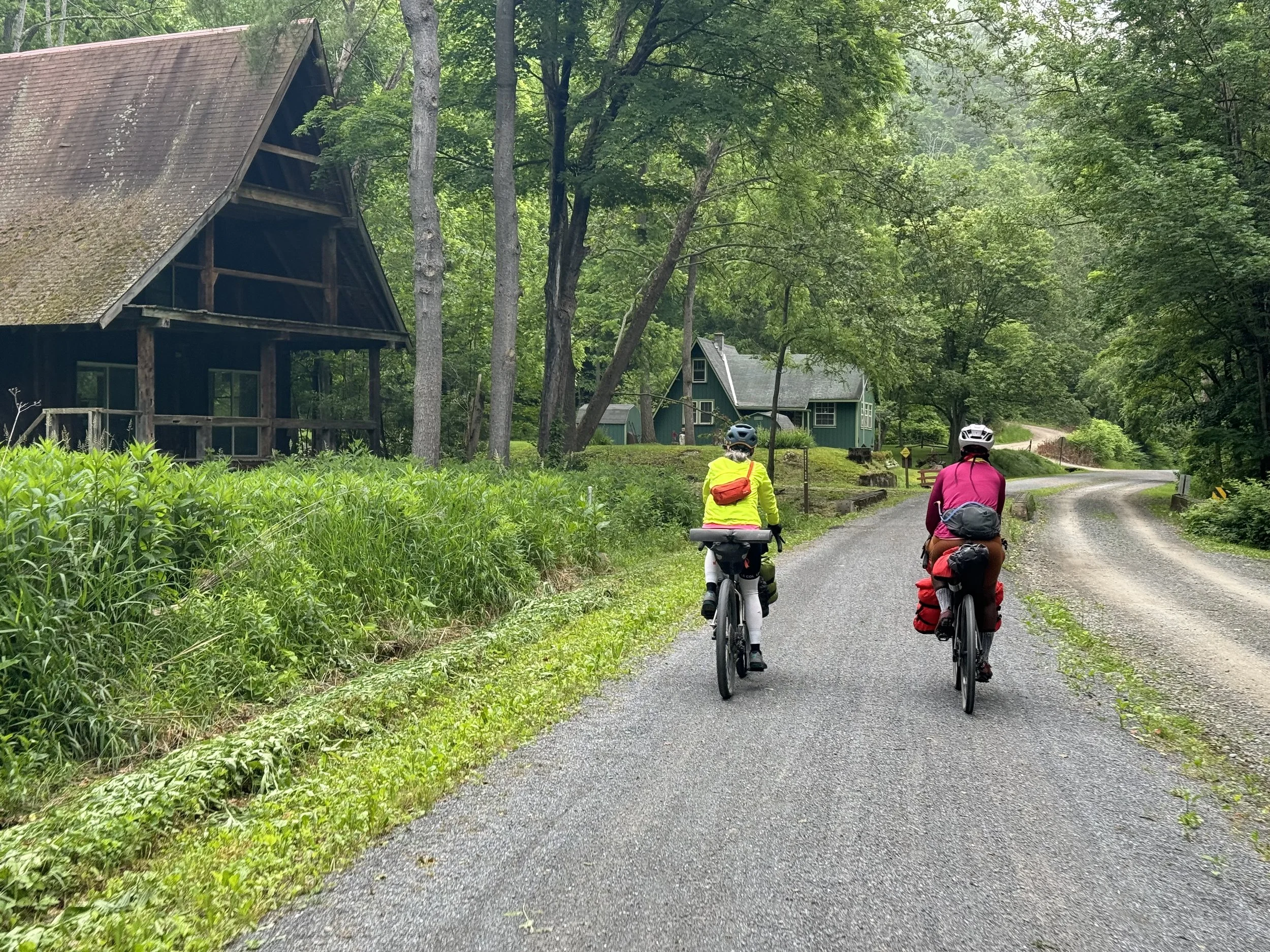
We met in Jersey Shore, PA on Sunday, June 9th at the trailhead in town at 2 pm. The trailhead has ample parking and a restroom; overnight parking is allowed. We were told police frequently patrol the lot. Upon arrival we ate a quick lunch of food that we had with us and proceeded to prepare for a little pre-ride. Why a pre-ride for the bikepacking trip? Well we were planning to camp at Bunnell Flat which is only 7 miles down the trail and lucky for me both Tia and Suzanne wanted to explore a little more of the area since we had time.
Pre-Ride 34 miles and 3K feet plus additional 7.5 miles to Bunnell Flats campsite
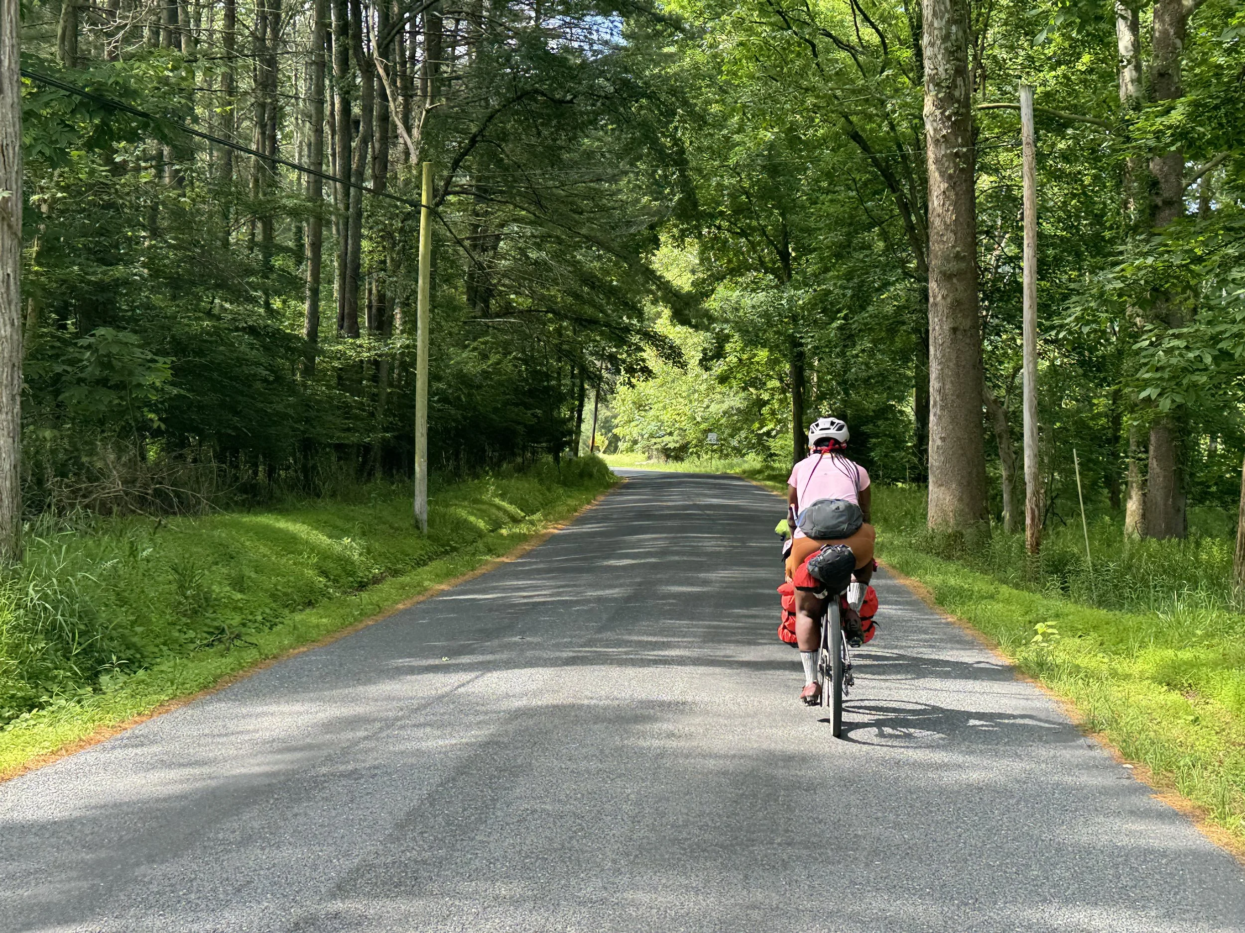
We had done a cursory search for a gravel route that was near either the campsite or town. We did not want to retrace any of the trail and with limited gravel in the area we opted for a mixed surface ride to Bull Run Vista. It was a great choice. We rode low traffic roads with the exception of the road out of town which had an ample shoulder. After about 6 miles we began a 5-6 mile climb. At some point Suzanne pointed out that I still had 2 more rings on my cassette to utilize for climbing. Unfortunately I could not switch gears any further and made a note to myself to look at it at camp (to my dismay we never could get it fixed but I managed to climb with 2 less, but highly desired, gears for the rest of the trip).
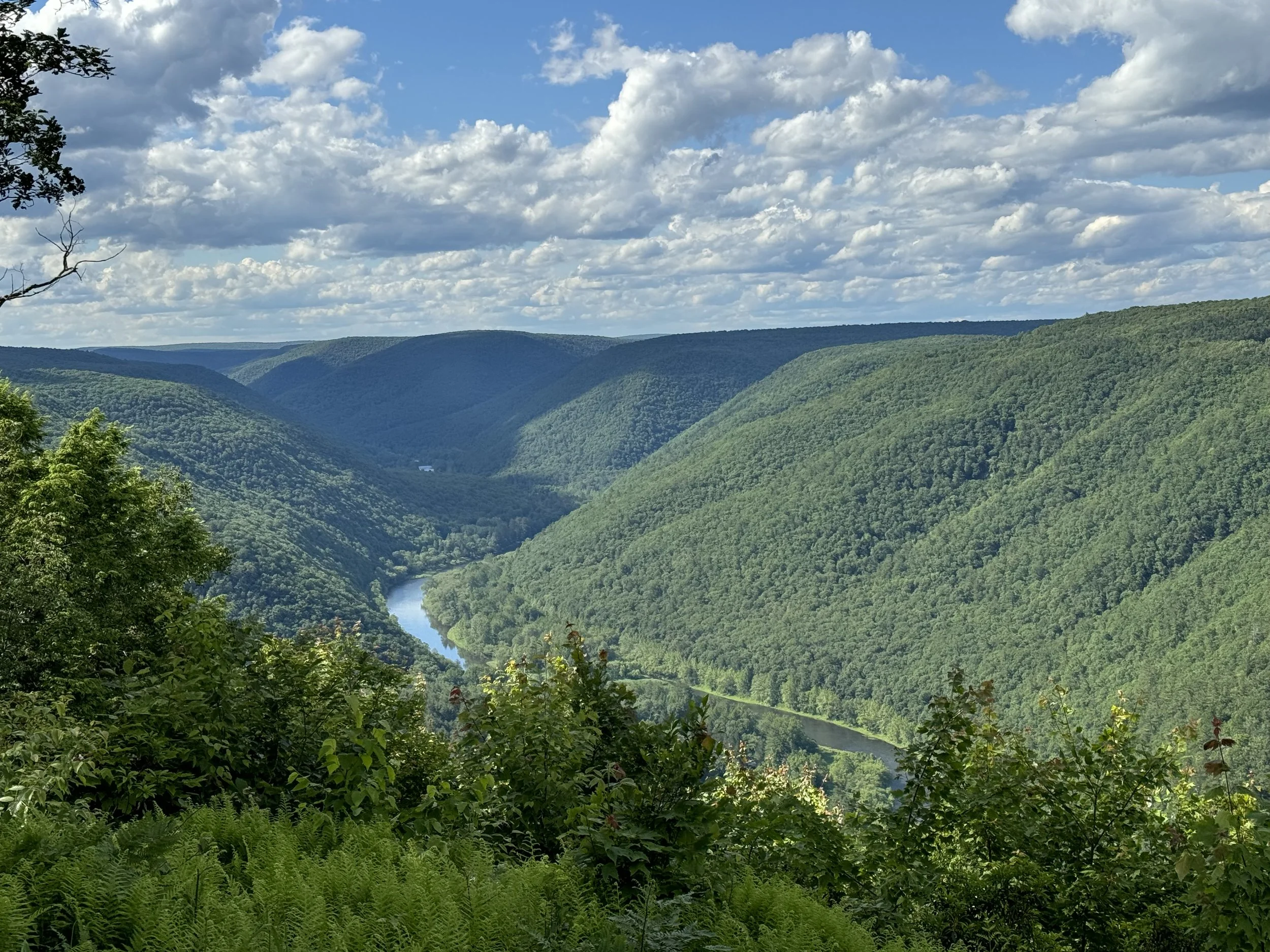
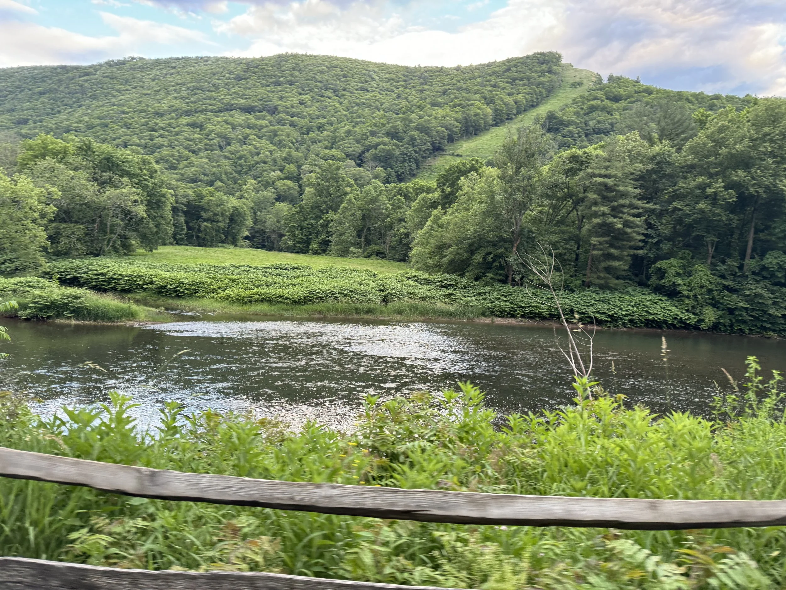
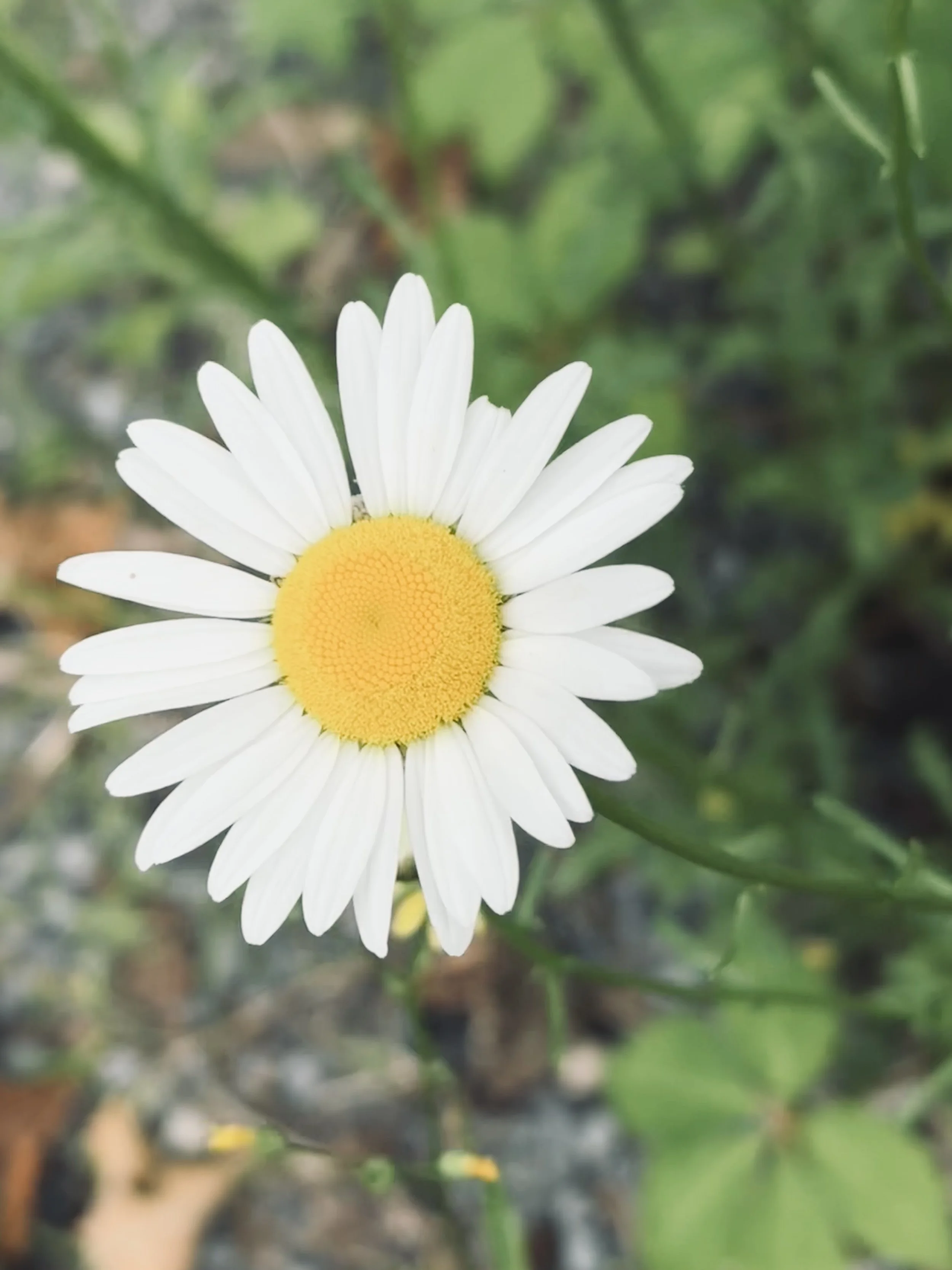
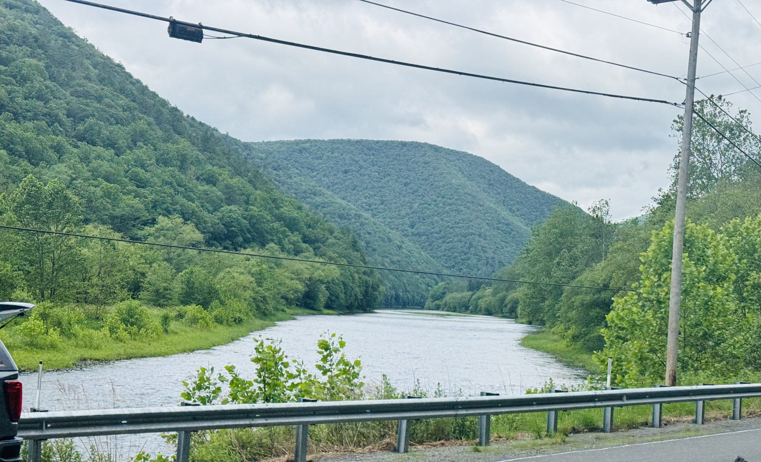
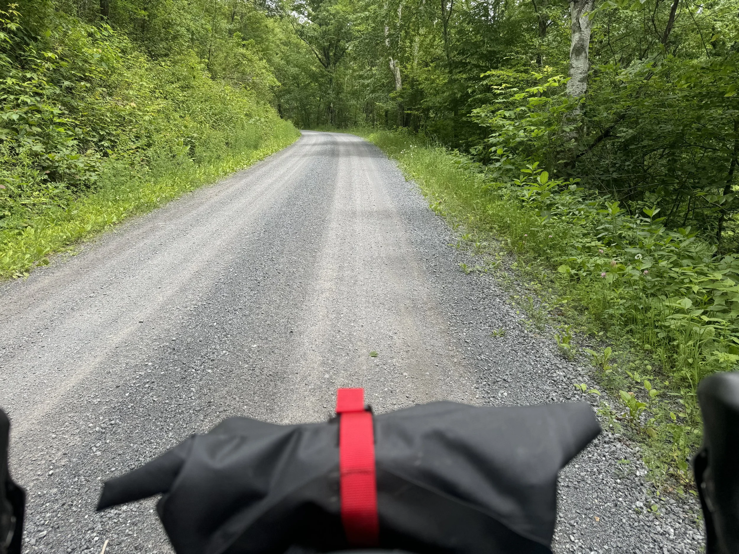
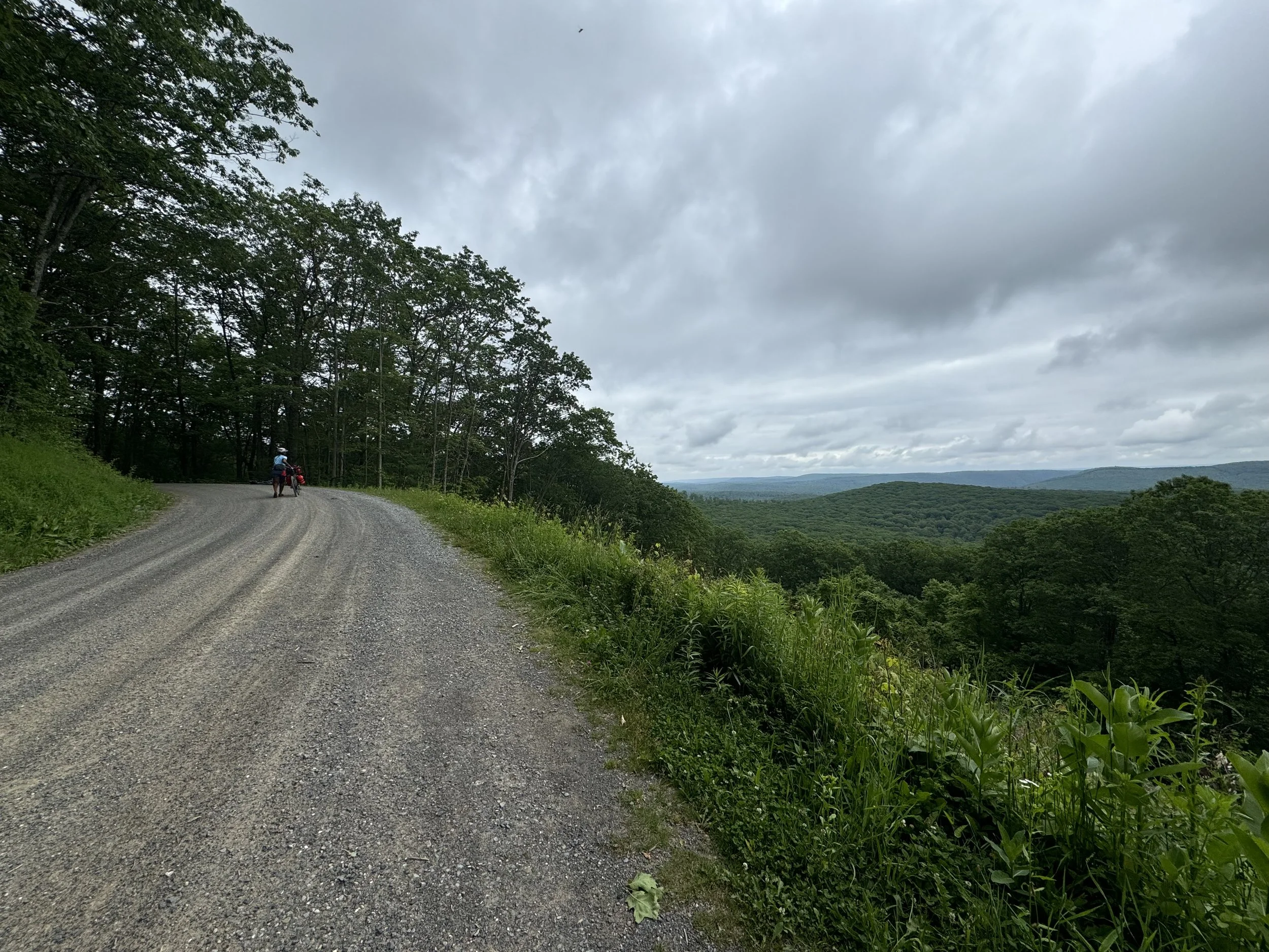
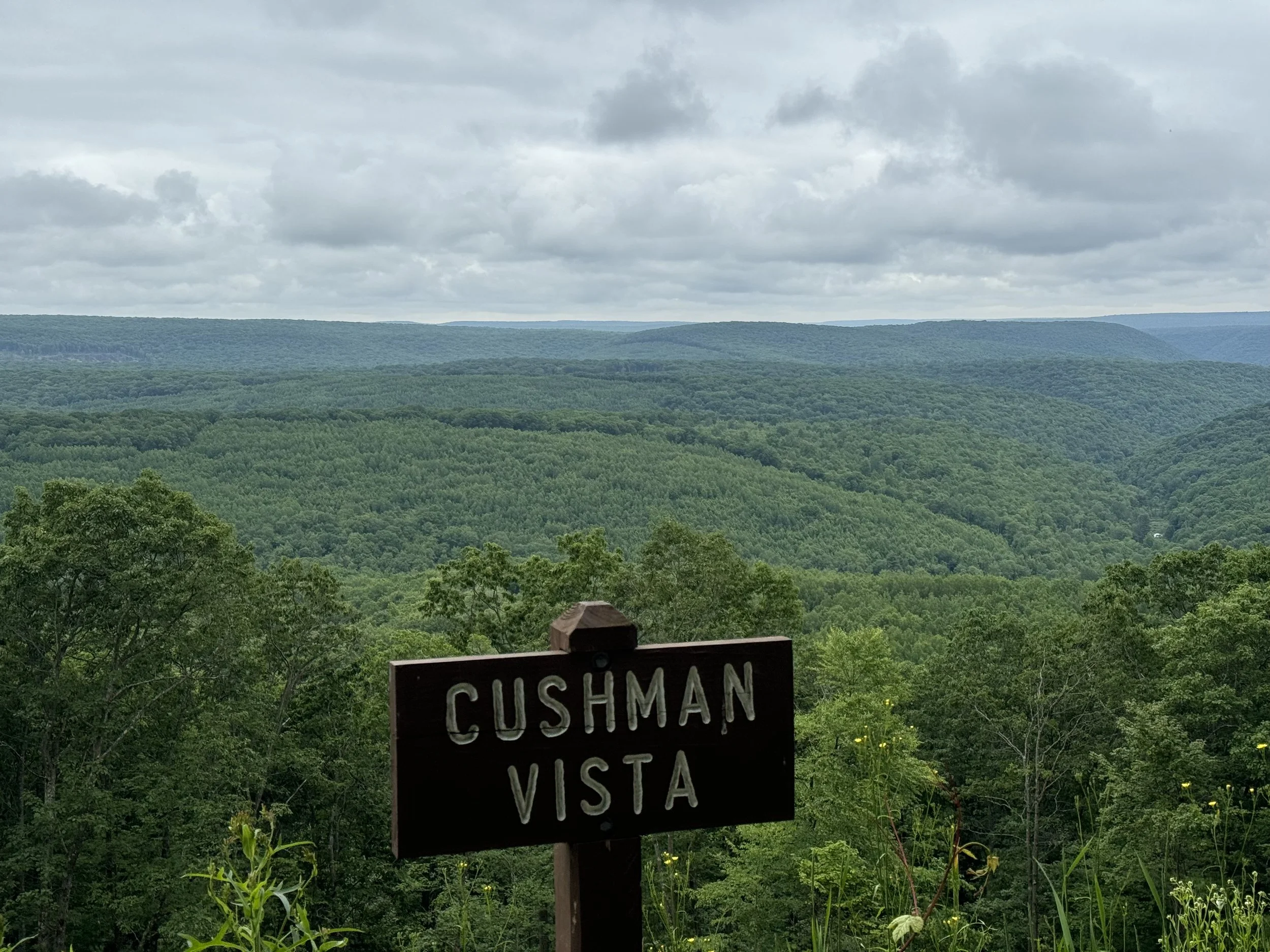
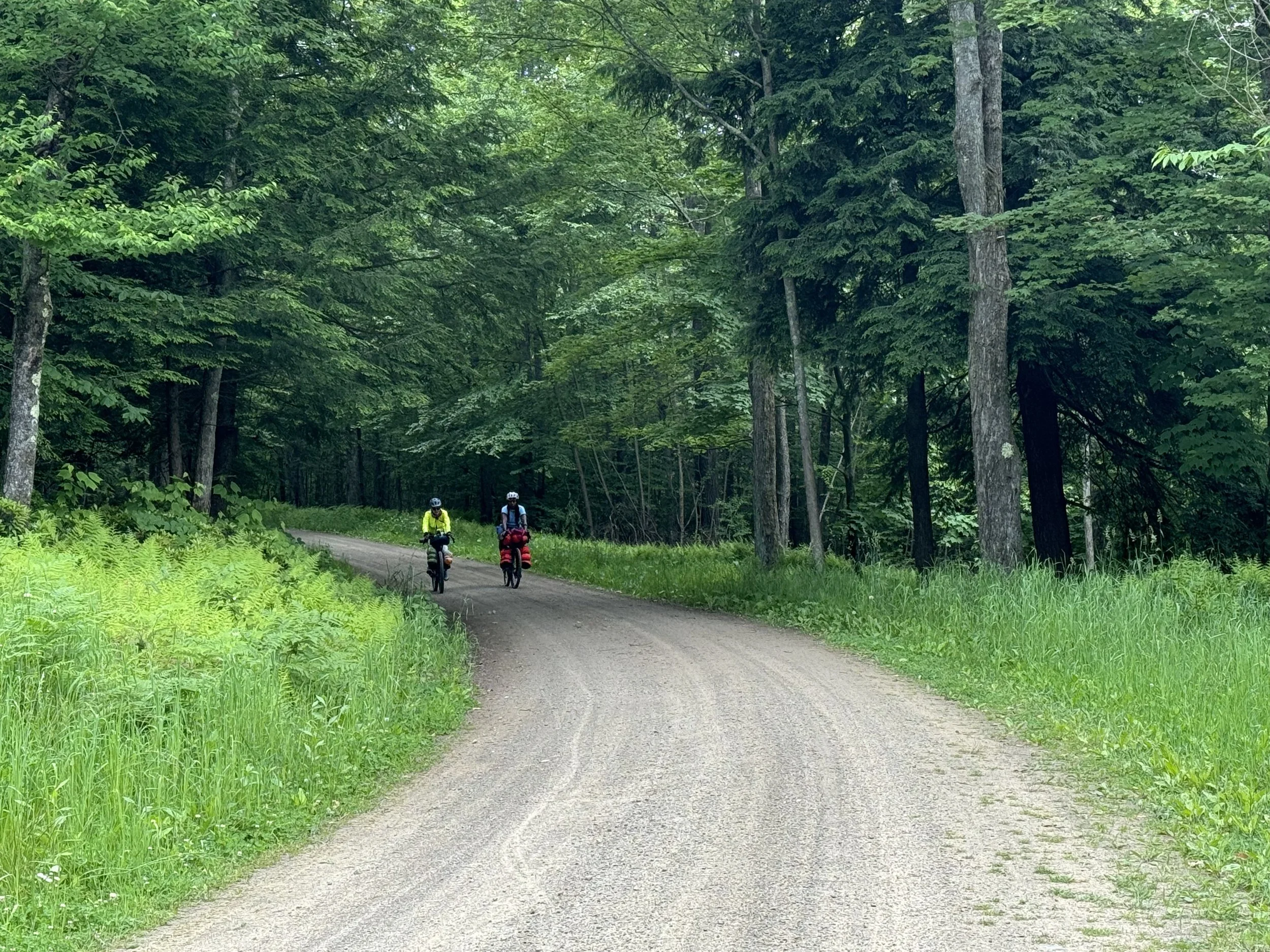
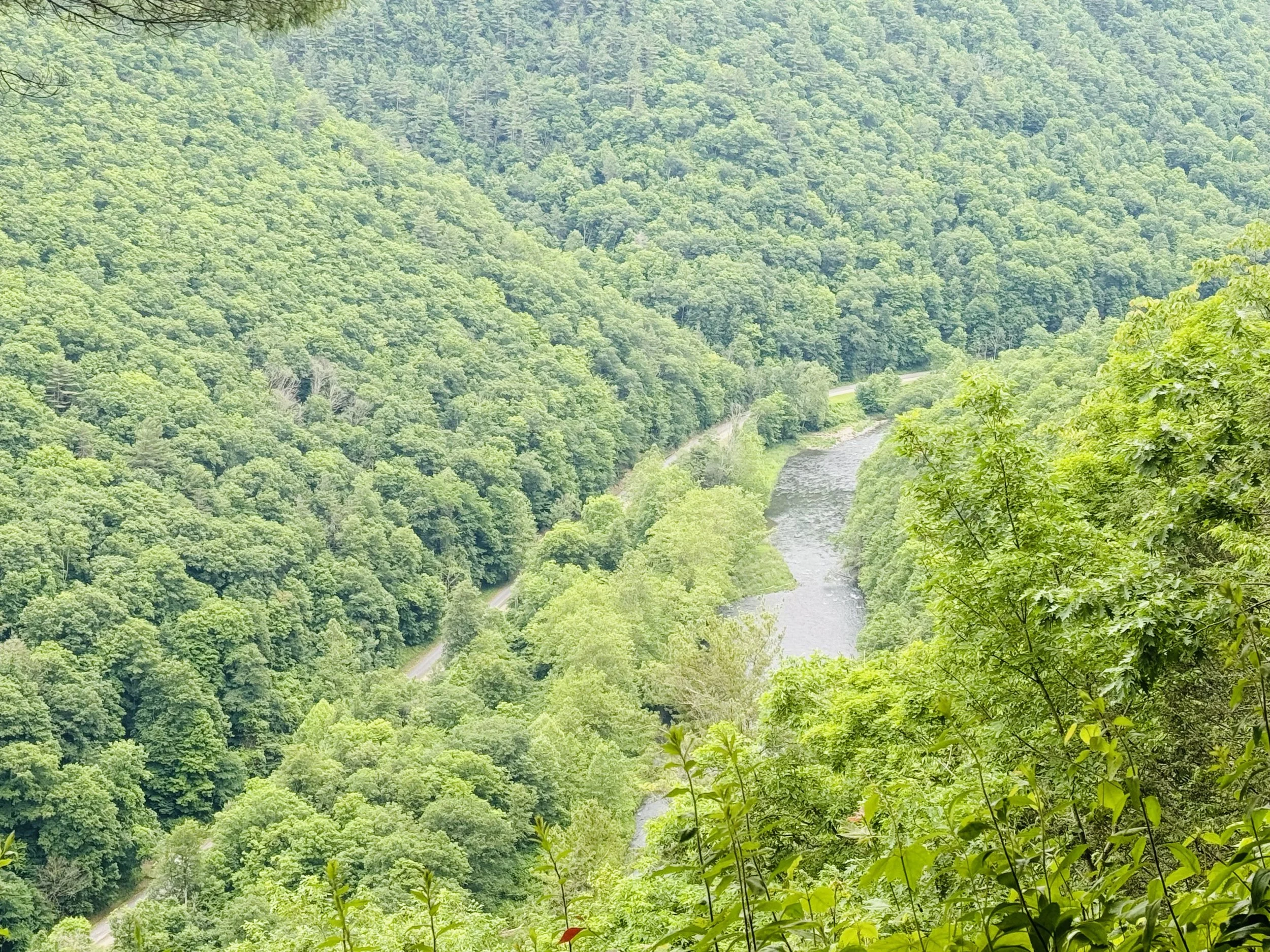
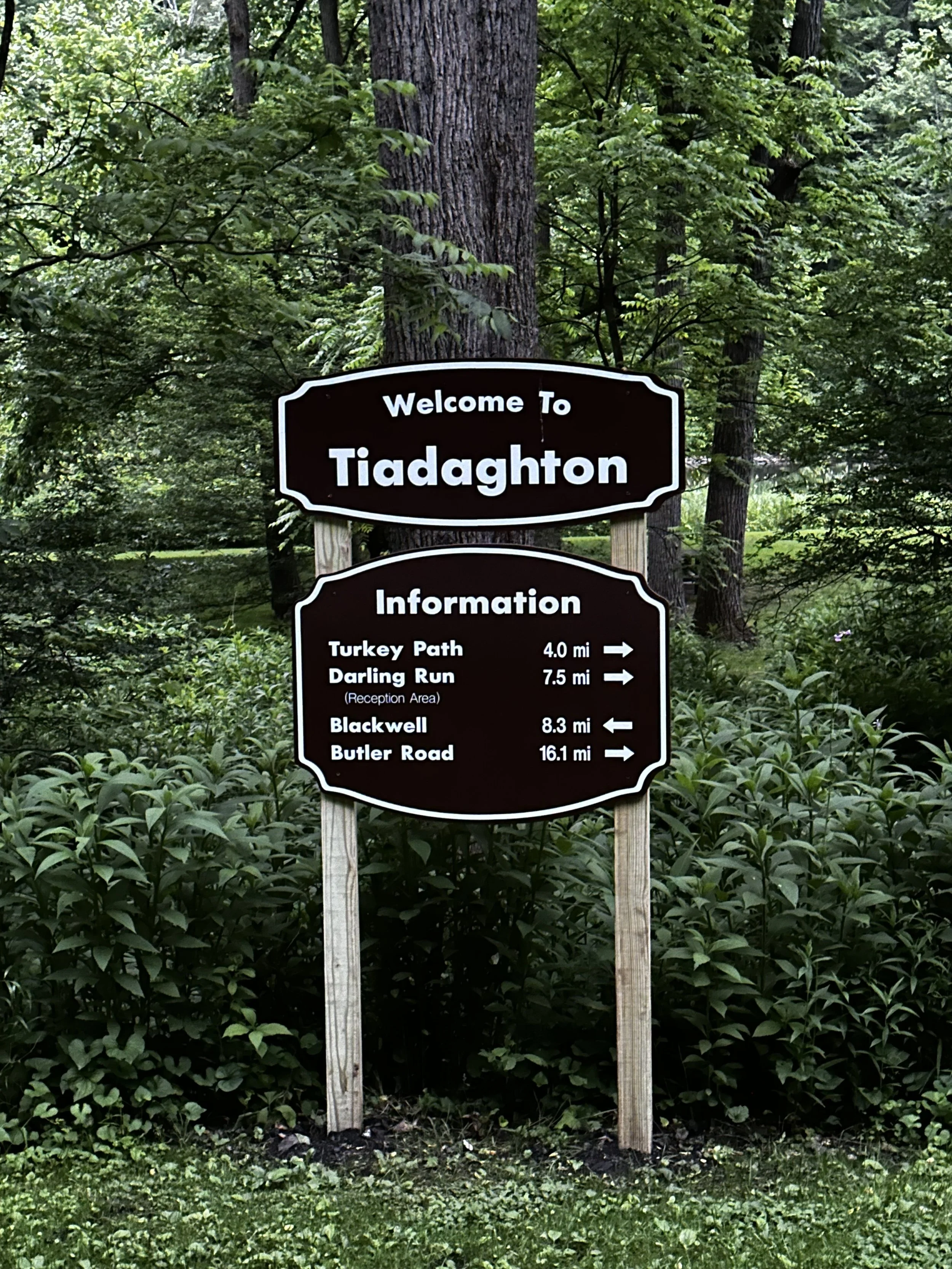
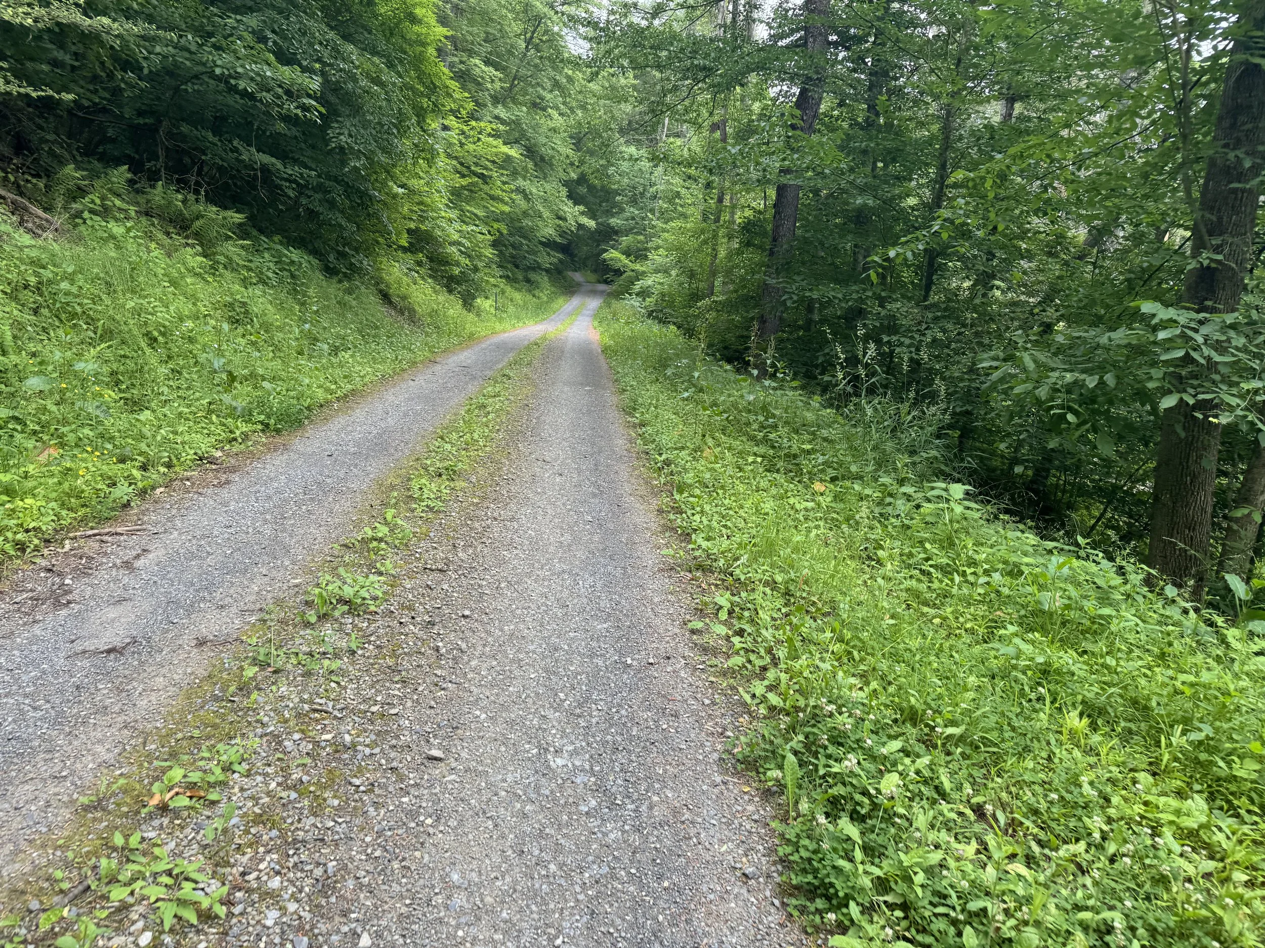
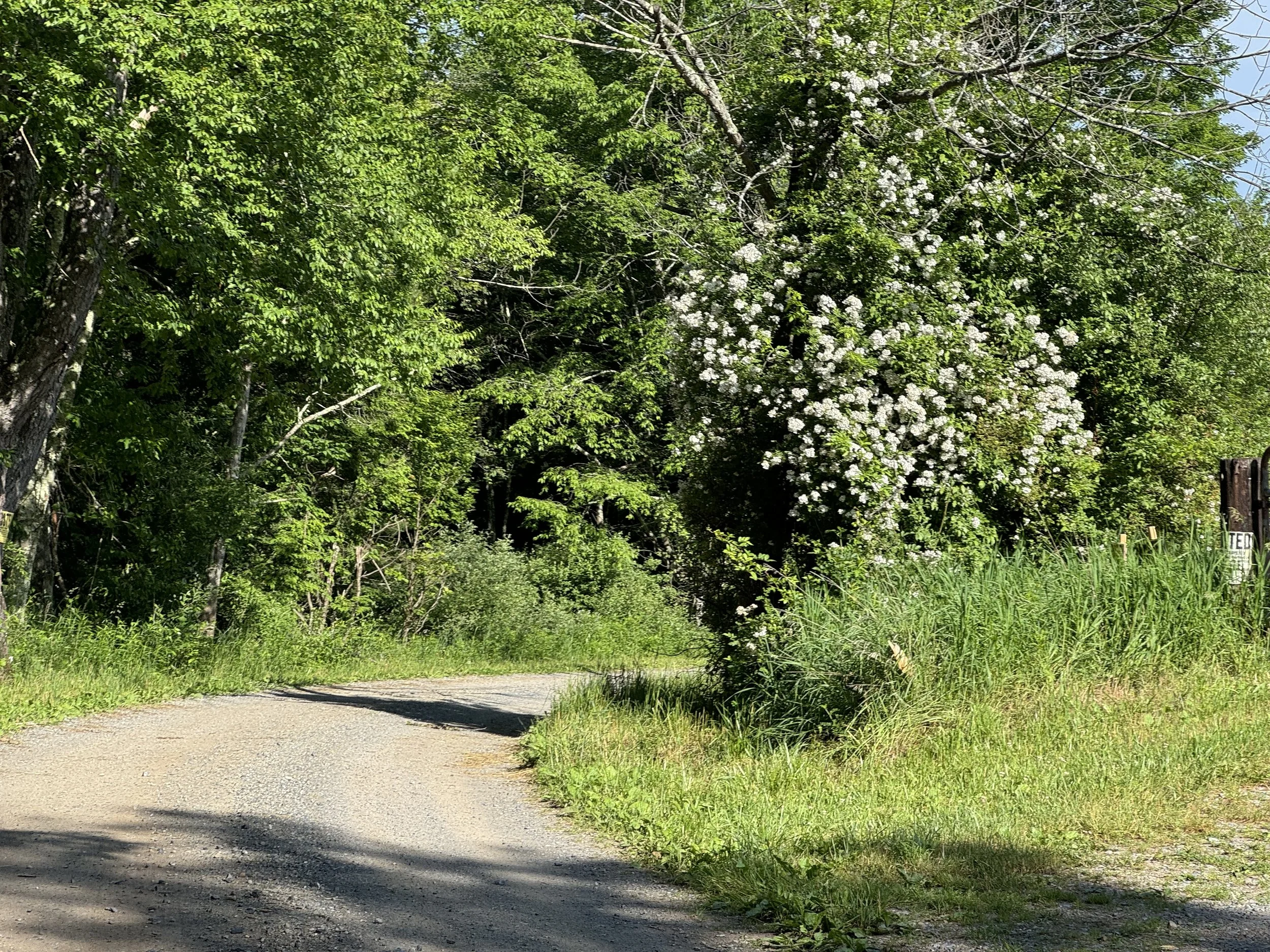
Around mile 13 the route turned onto a forested trail which was overgrown. We saw no need to bushwhack. The trail was less than a mile and came back to the same road. Perhaps another time of the year this section is passable. We encountered some similar short sections on the bikepacking route that were also overgrown but easily bypassed. We continued climbing with an occasional descent til mile 16 and the turn onto Bull Run Road. Gravel! It was nice to be on the gravel road and nary a car in sight (not that there were many on the paved roads on a late Sunday afternoon). There were some lovely wildflowers on the route. We took the turn onto Bull Run Vista for a couple miles to the overlook and were mesmerized by the view of the Pine Creek and the adjacent trail below. So worth the climb to have an overview of the valley. Tiadaghton State Forest has about 40 vistas of which several are on the bikepacking route. Also in this area are numerous hiking trails with one going past this vista. After taking photos we returned to Bull Run and the route. We did not go to the end of Bull Run Road but definitely an option if you have time for an additional vista.
We took Big Springs Road off of Bull Run and began a fun series of rollers on the gravel road with a few potholes before enjoyed a delightful 2 mile descent til we hit pavement. The descent continued to just outside of town on smooth paved roads making for a fun ending to a really enjoyable ride and the start of our trip.
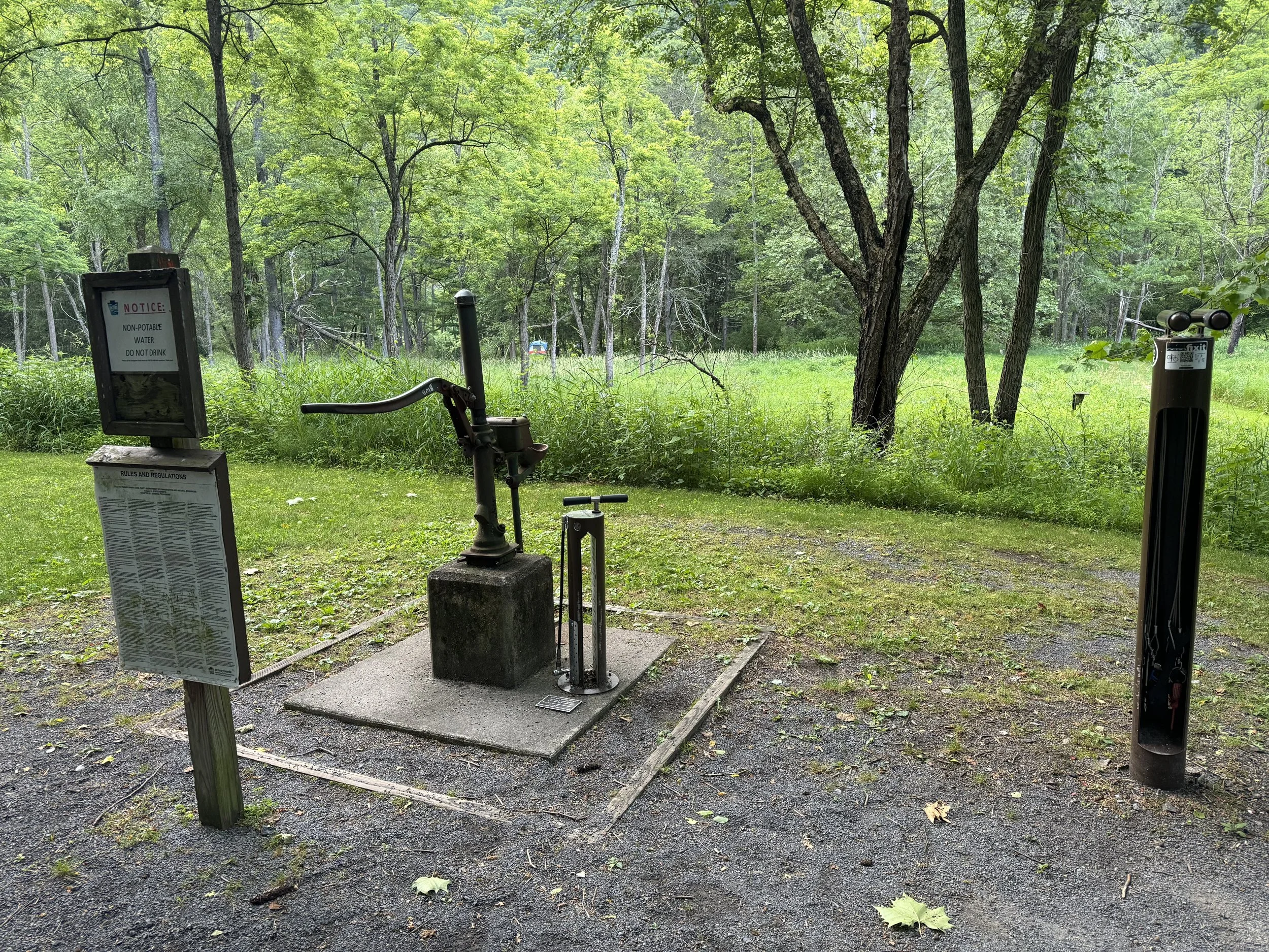
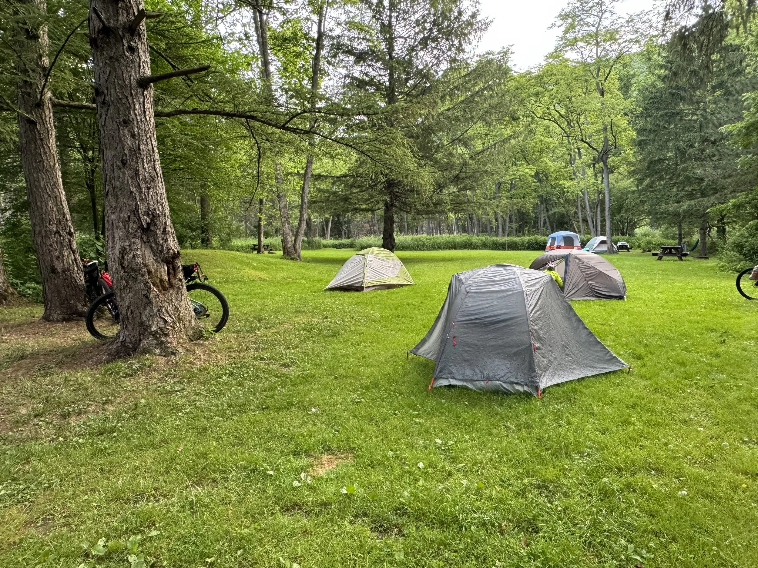
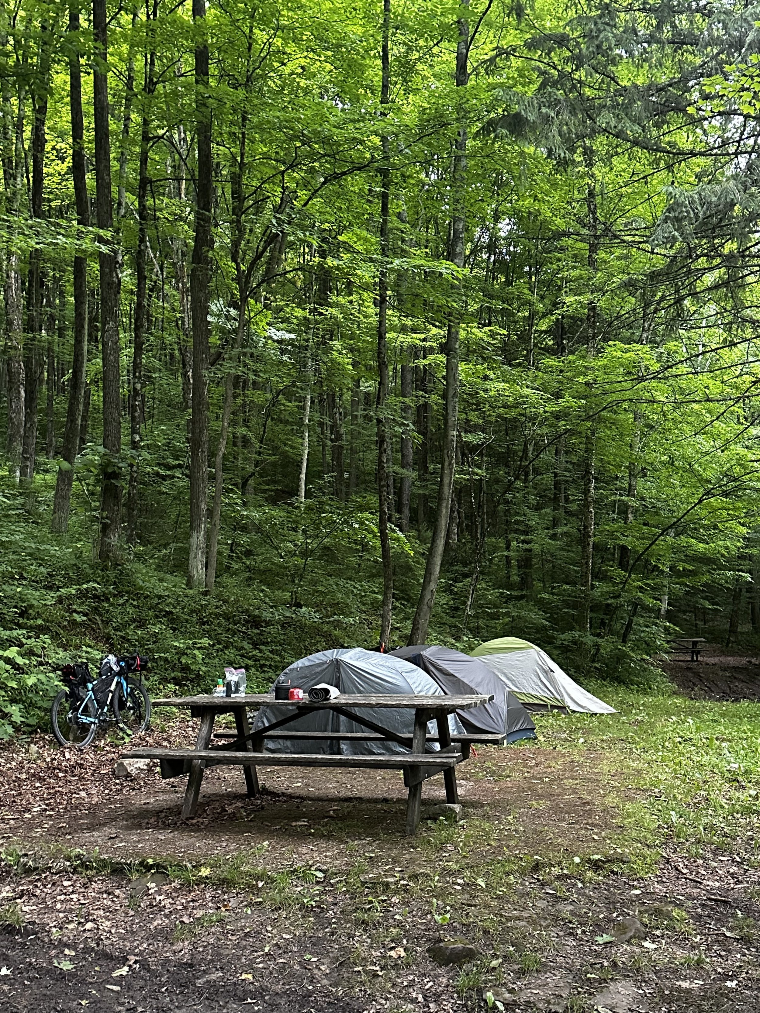
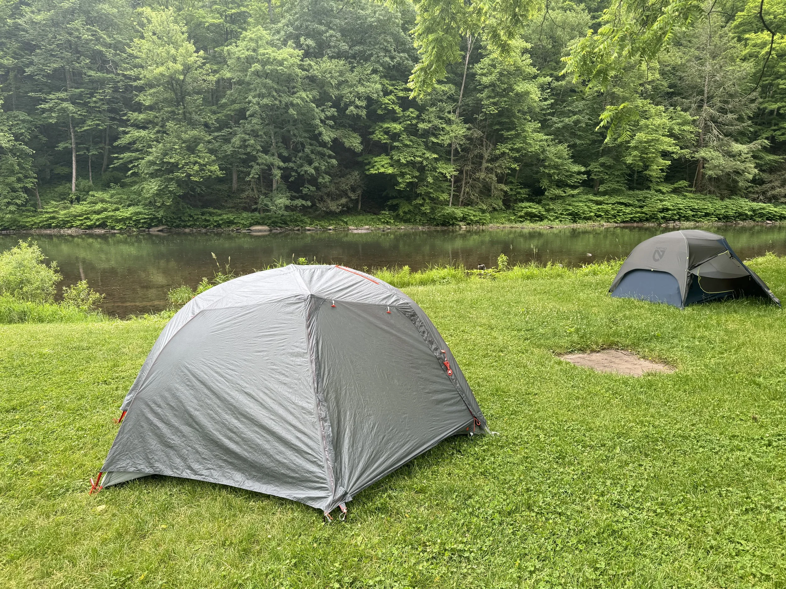
Once back at the Jersey Shore Trailhead we loaded the rest of our bikepacking gear, enjoyed the last real rest room and preceeded 7.5 miles down the Pine Creek trail to Bunnell Flat Campground. All campgrounds near the trail and in the forest are primitive with no running water and most have pit toilets. All cost a nominal fee booked online or by phone through the PA State Forest Site. There was a family at Bonnell Flats but no one else arrived. We had time to set up camp, cook our meals, walk the 1/4 mile back to the pit toilet one final time before turning in and promptly hearing the rain start. Thankfully it was a short shower and all was dry in the morning.
DAY 2. Bunnell Flat Campground to 7 Mile Campground 47.8 miles and 856 feet
Rained a wee bit last night. My first time camping with rain and tent did well. Still it wasn’t a downpour so not sure if a true rain experience yet. We all woke up early. Suzanne and I made our breakfast while Tia relaxed a bit more in the tent. By 8:30 am we were packed and loaded to begin our ride. Today was mostly trail. In our quest to do all the Pine Creek trail, today would include a 10 mile out and back on the trail. Temps today were to be the coldest of the trip with overnight in the low 50s and 65 for the high.
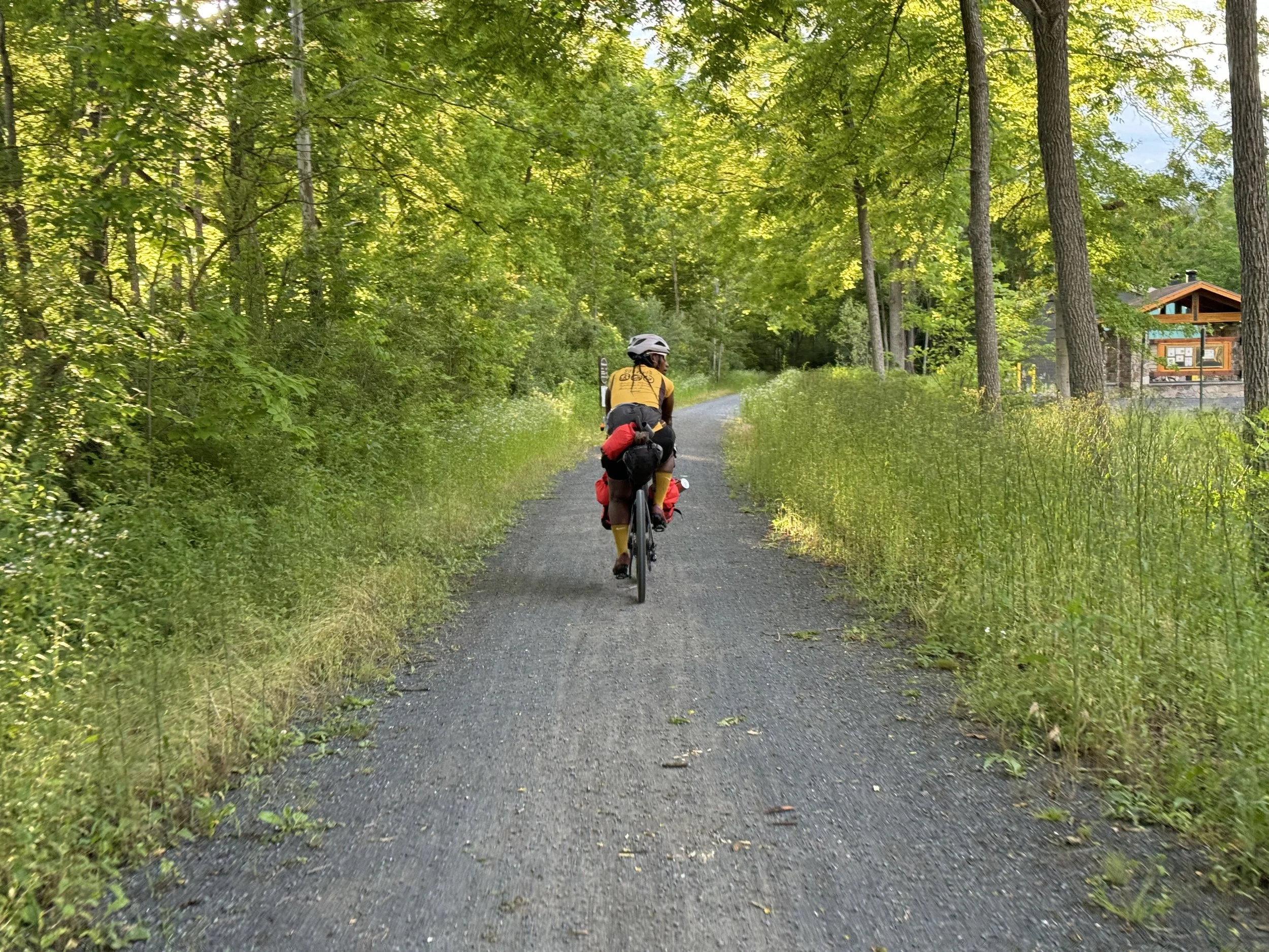
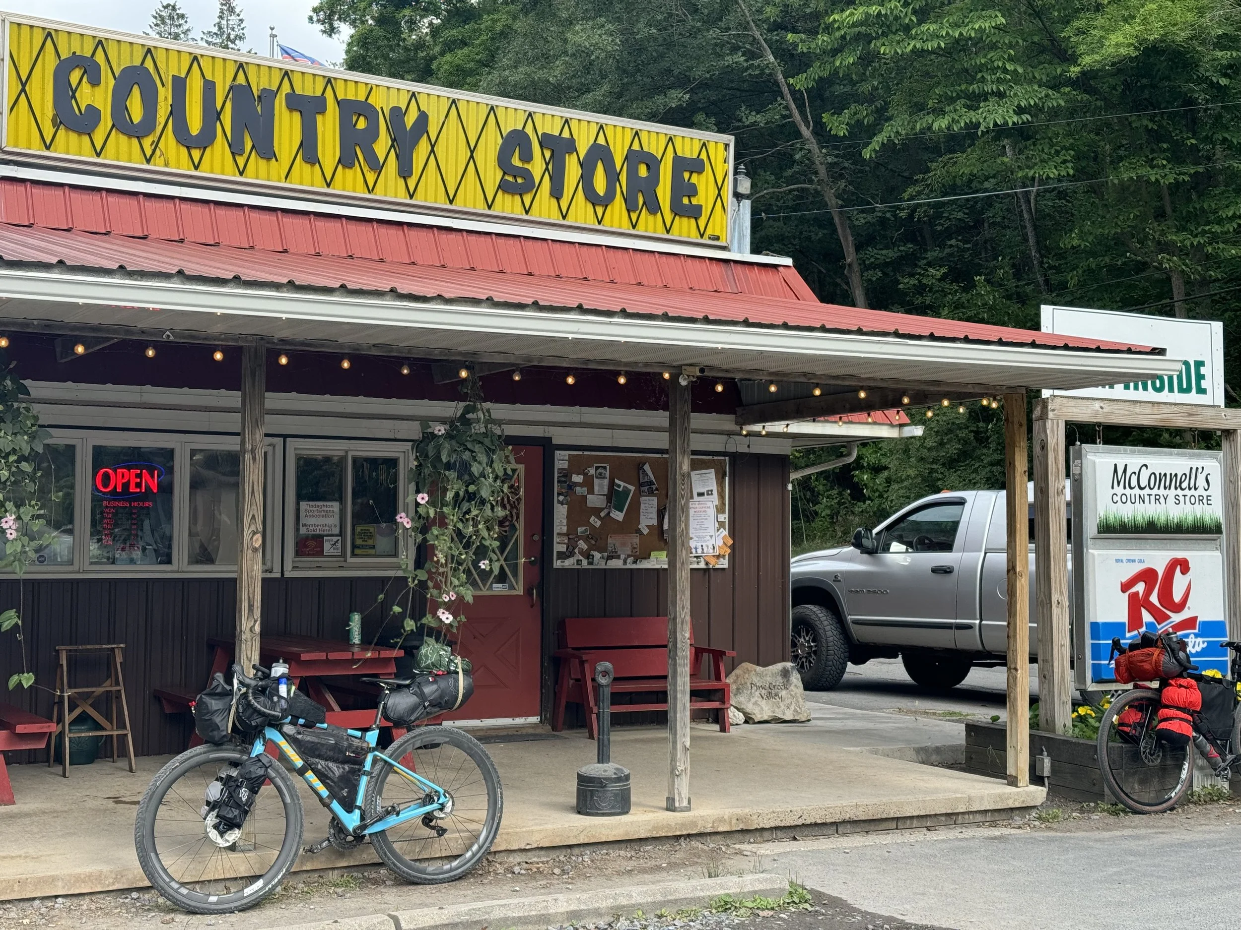
About 4 miles down the trail we arrived to our first small town, Waterville. There is a country store just off the trail where we replenished our water supply (or I did; Tia had filtered water from the creek at the campsite). Tia enjoyed her first of many flavored honey sticks and we all enjoyed the bathroom. The store was interesting, selling a wide variety of clothes, souvenirs and fishing supplies as well as having a small deli.
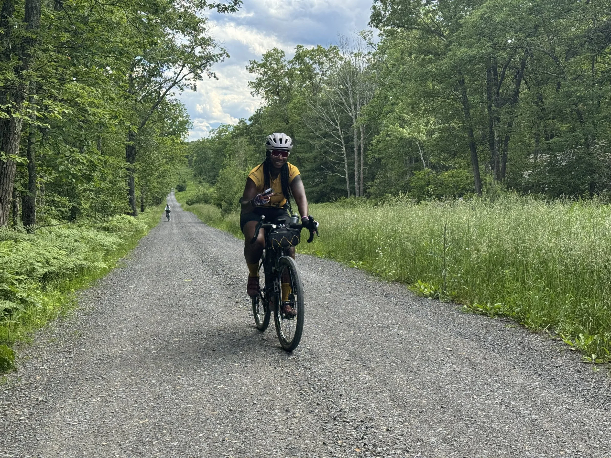
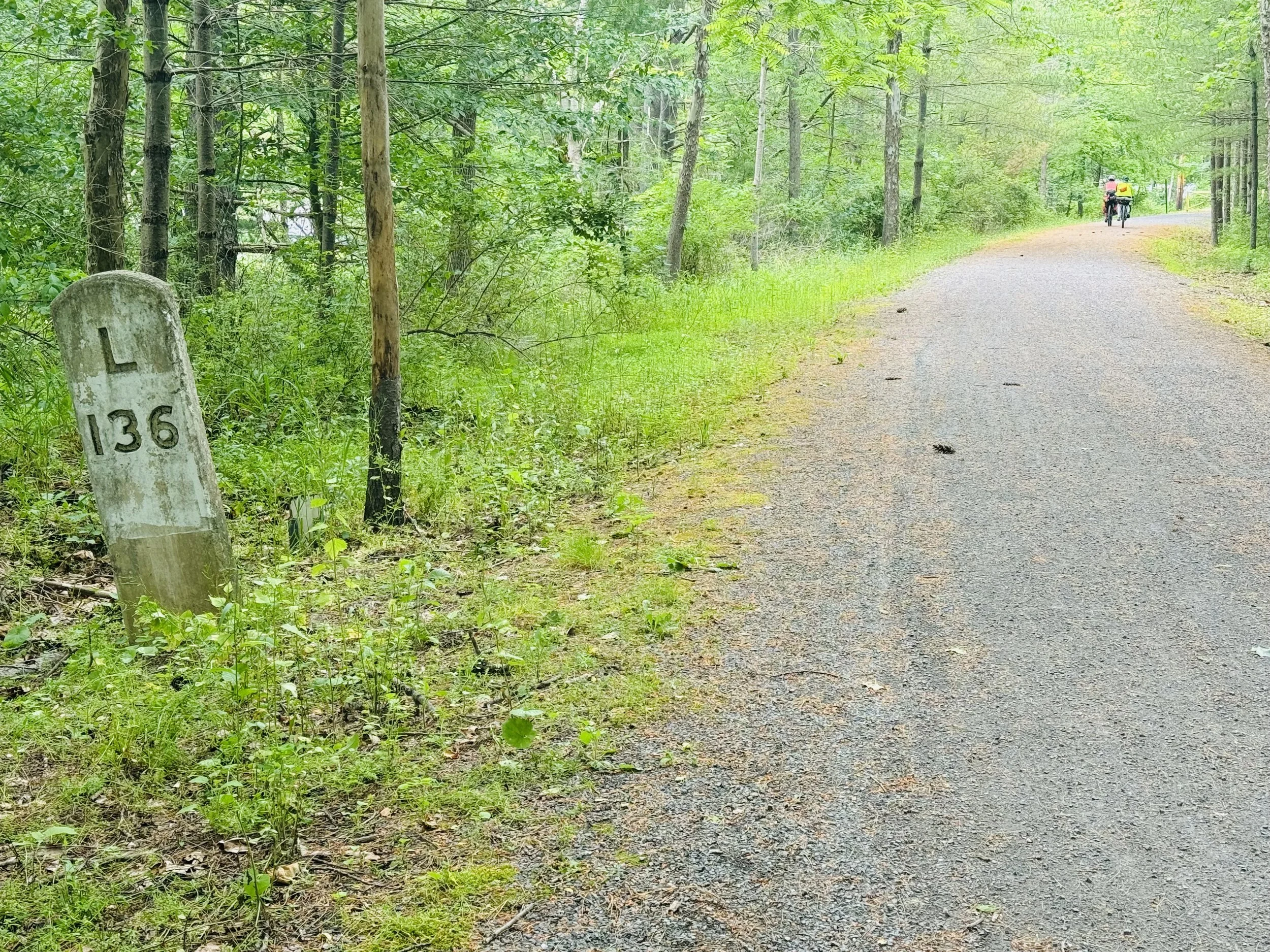
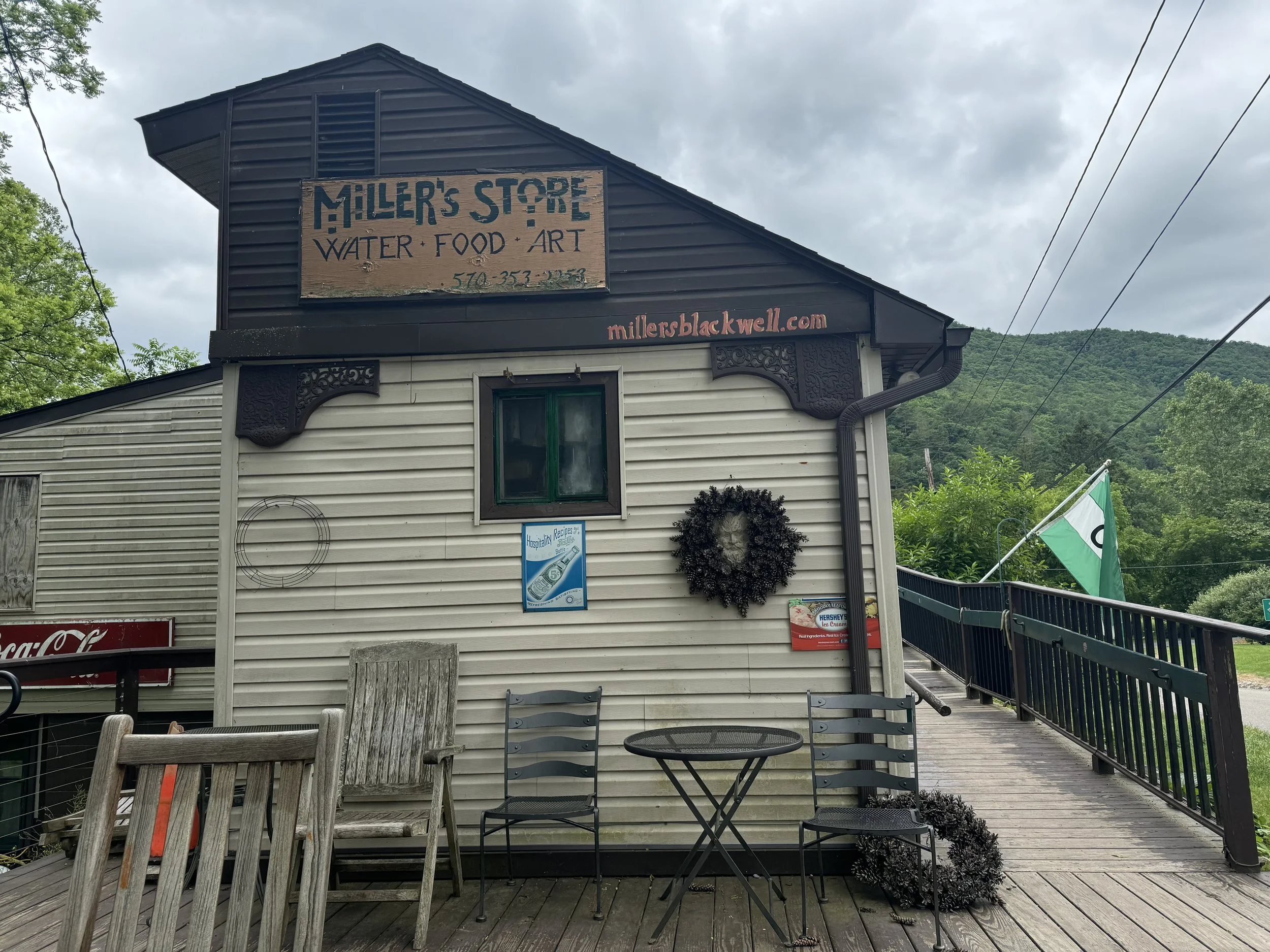
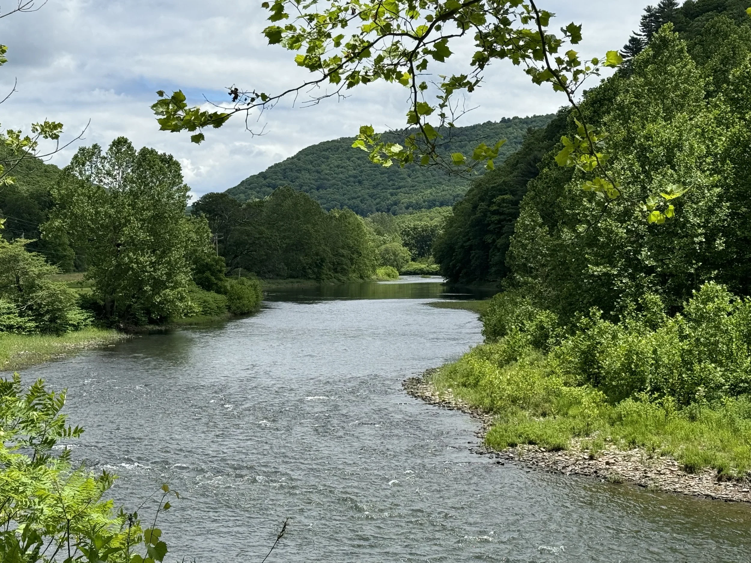
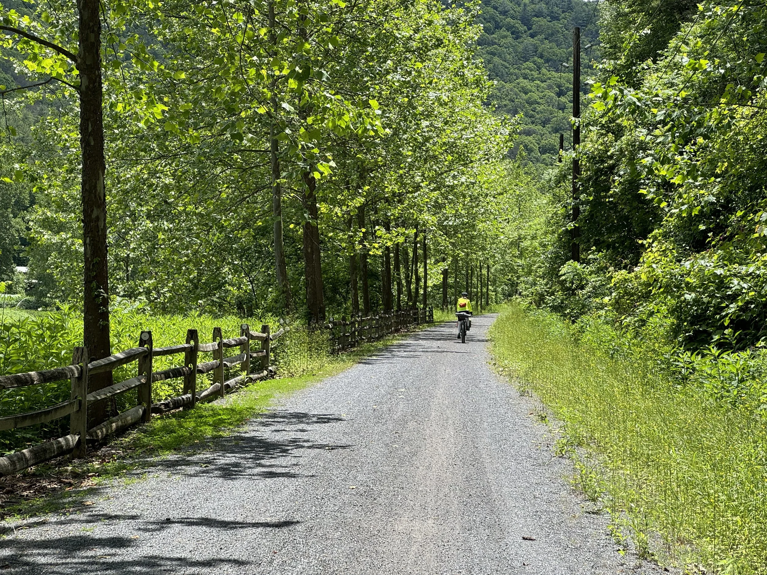
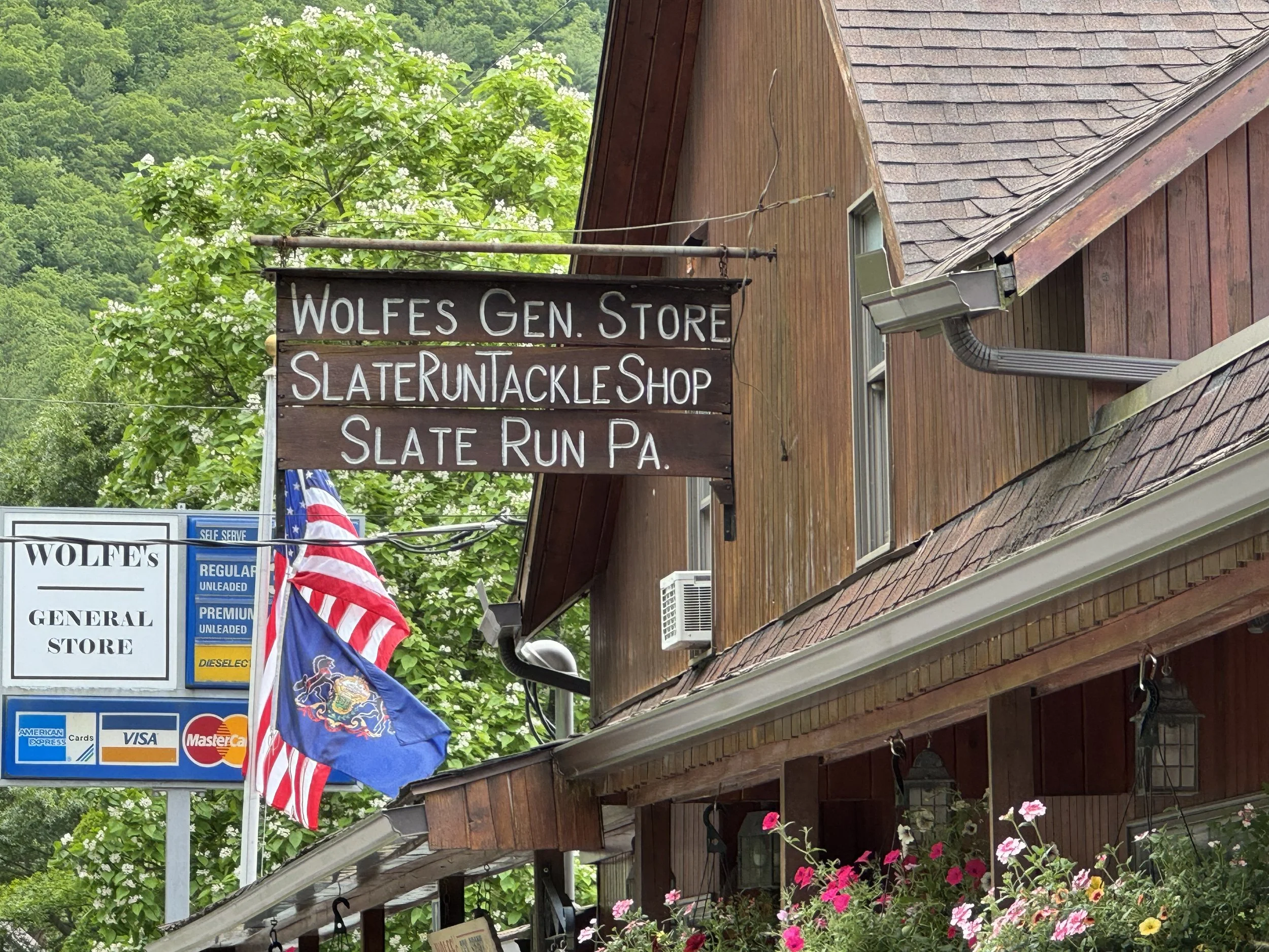
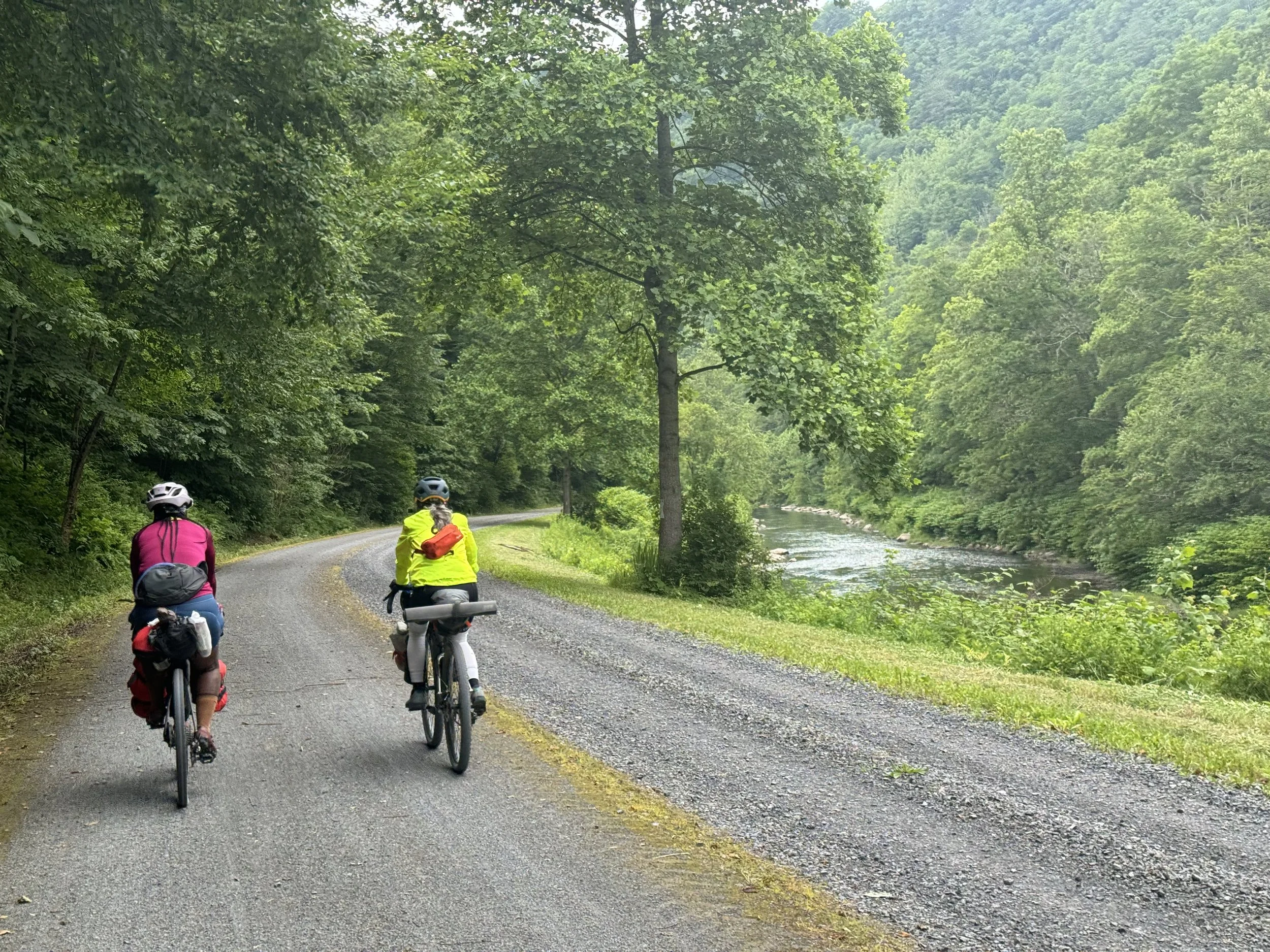
The Pine Creek Trail is in great shape and the views were as wonderful as I remembered. We passed Wolfe’s General Store as we started the 10 mile out and back section of the trail which ended at Miller’s General Store. The initial plan was to have lunch there but we ended up just buying snacks and eating food that we had on hand. We did enjoy talking to the owner about the other riders she has encountered and learned that weekends on the trail are extremely busy. We then headed back 10 miles to Wolfe’s General Store where we stopped to pick up a few items before turning off the trail and beginning the gravel climb to our campground.
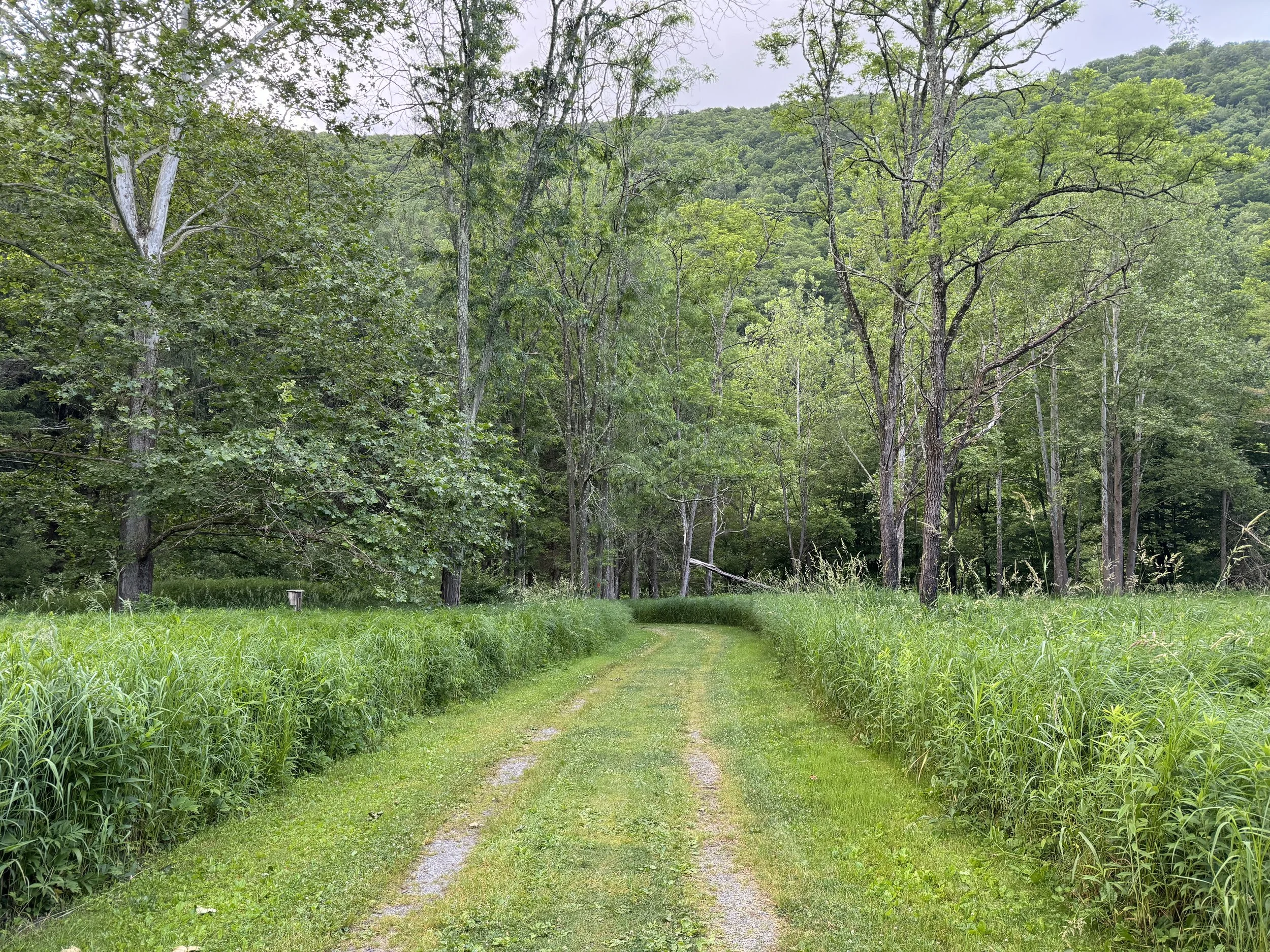
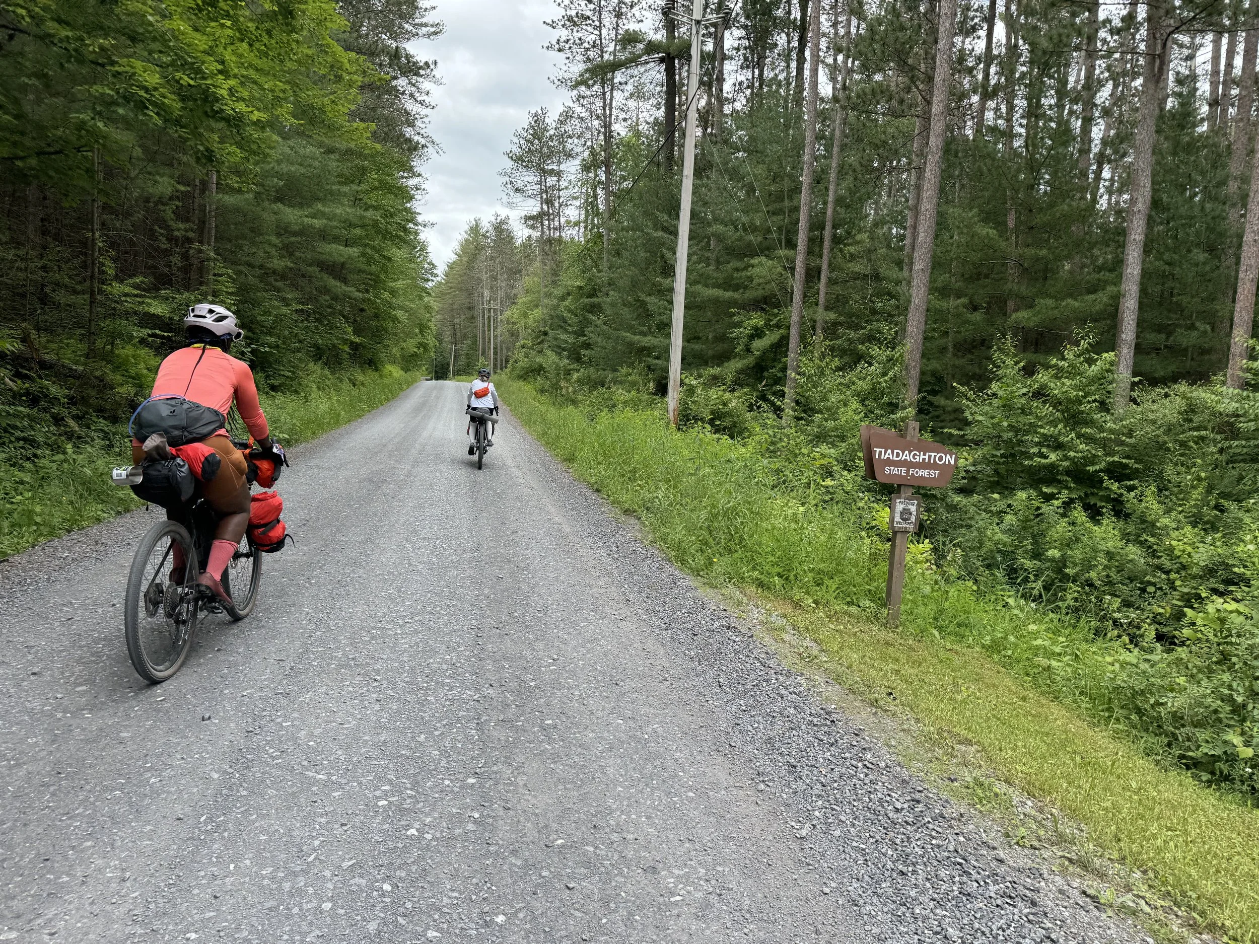
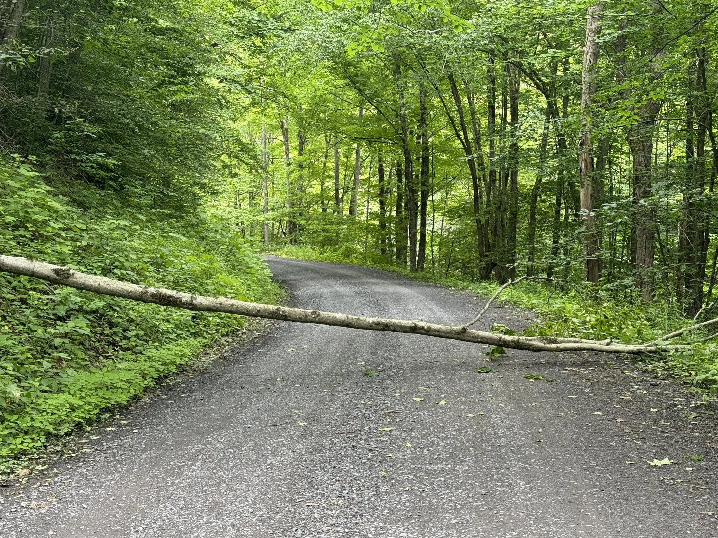
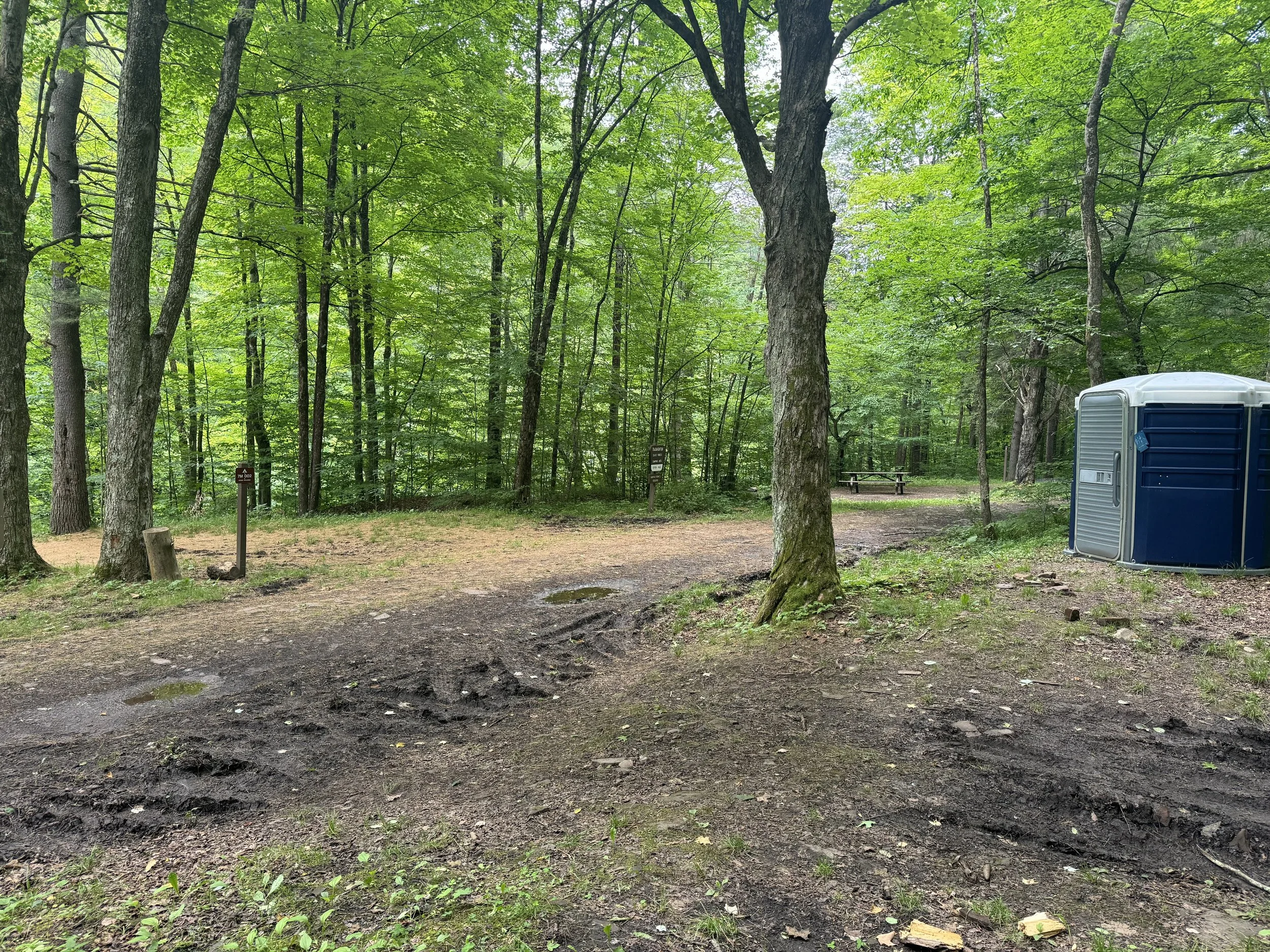
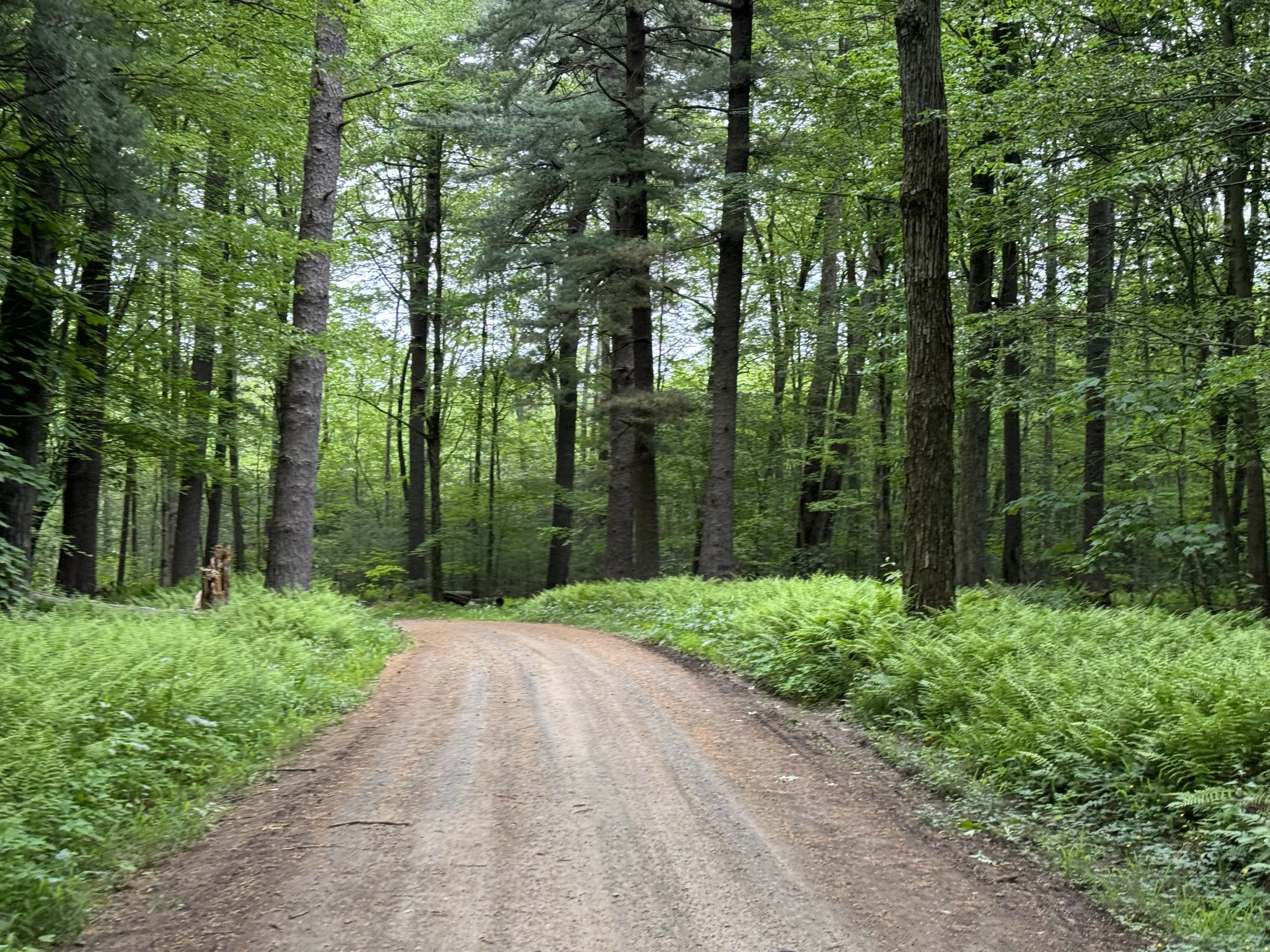
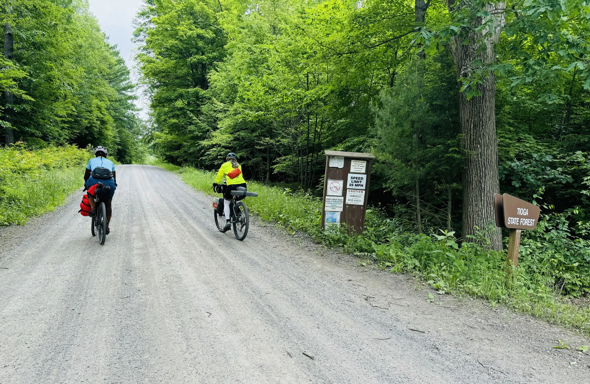
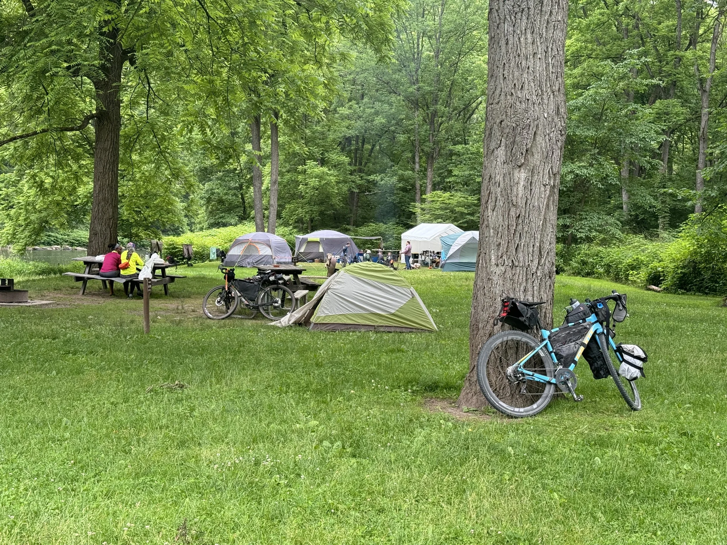
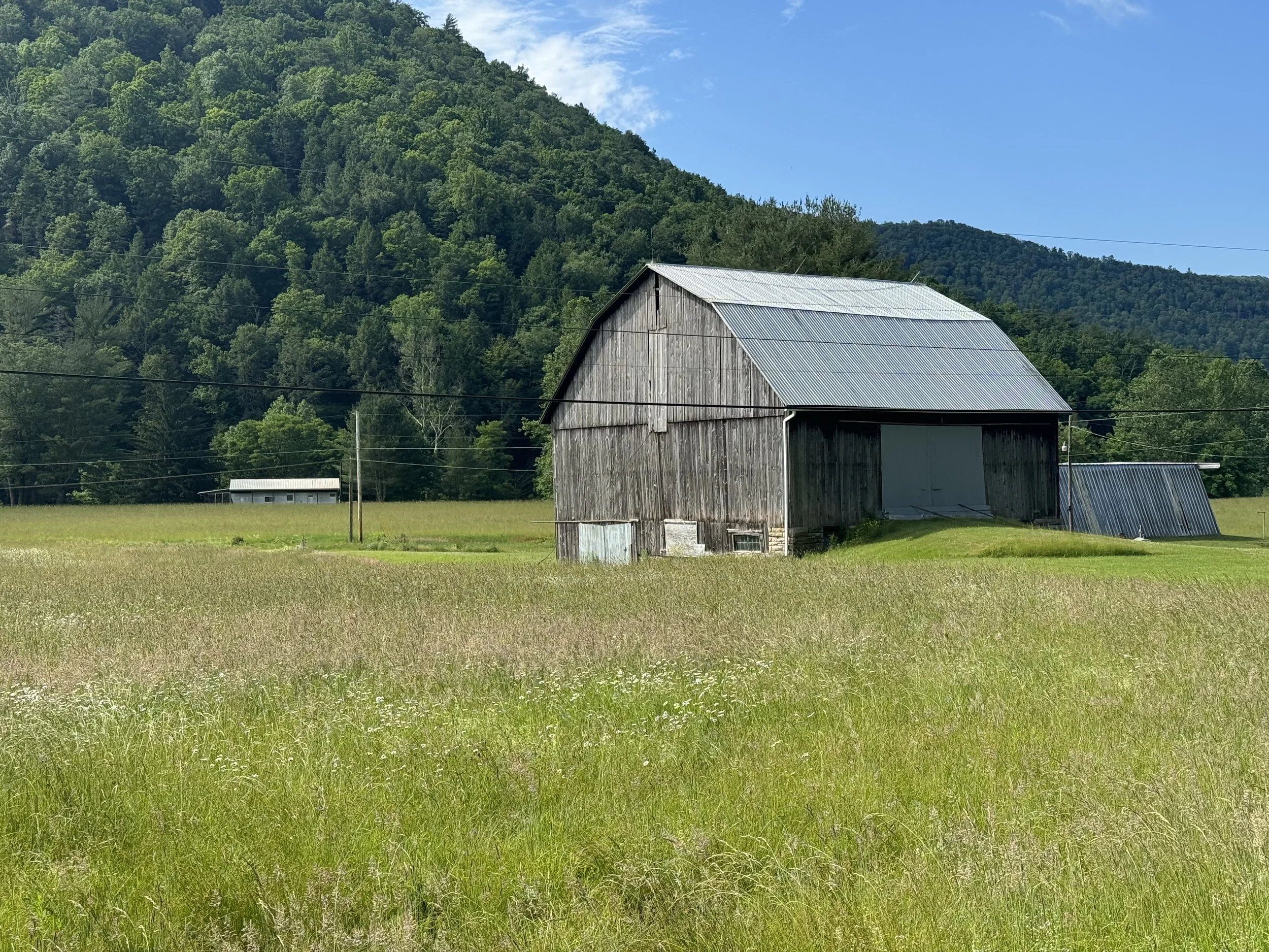
Virtually all of the climbing today was in the last 6 miles after leaving the trail and climbing further into Tiadaghton State Forest. The winding gravel road was mostly packed dirt and in great shape. About 5 miles from the store we encountered a tree down blocking the road. With much of the heft from Tia, we moved the tree as a courtesy to cars; though, we saw nary a one on the road. The 7 mile campground was advertised as primitive with no facilities and we had also read that it was easily missed. The campground was not marked on the road but we saw a 2 track muddy road descending down to what looked like a state park posting sign. Eureka we had arrived. The campsite definitely had more rain than Bonnell Flats as many of the sites were muddy. Luckily ours was on the higher side of the campground (site 3) . And also a nice surprise, it was next to a reasonably clean port-a potty…JACKPOT!. Lol. We set up camp. Suzanne and Tia had a look around while I relaxed. We then cooked our meals, hung our bear bag and retired to our tents for the night.
Day 3 7 Mile Campground to Tiadaghton Campground 52.53 miles and 2500 feet elevation
I was really looking forward to today as it included the long climb to Colton State Park. After reading previous OGG blog posts about the park I was stoked to ride through the park.
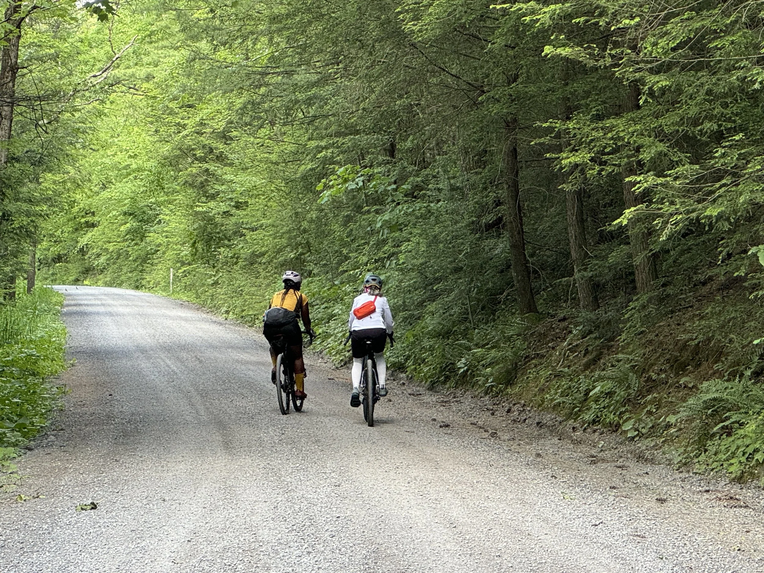
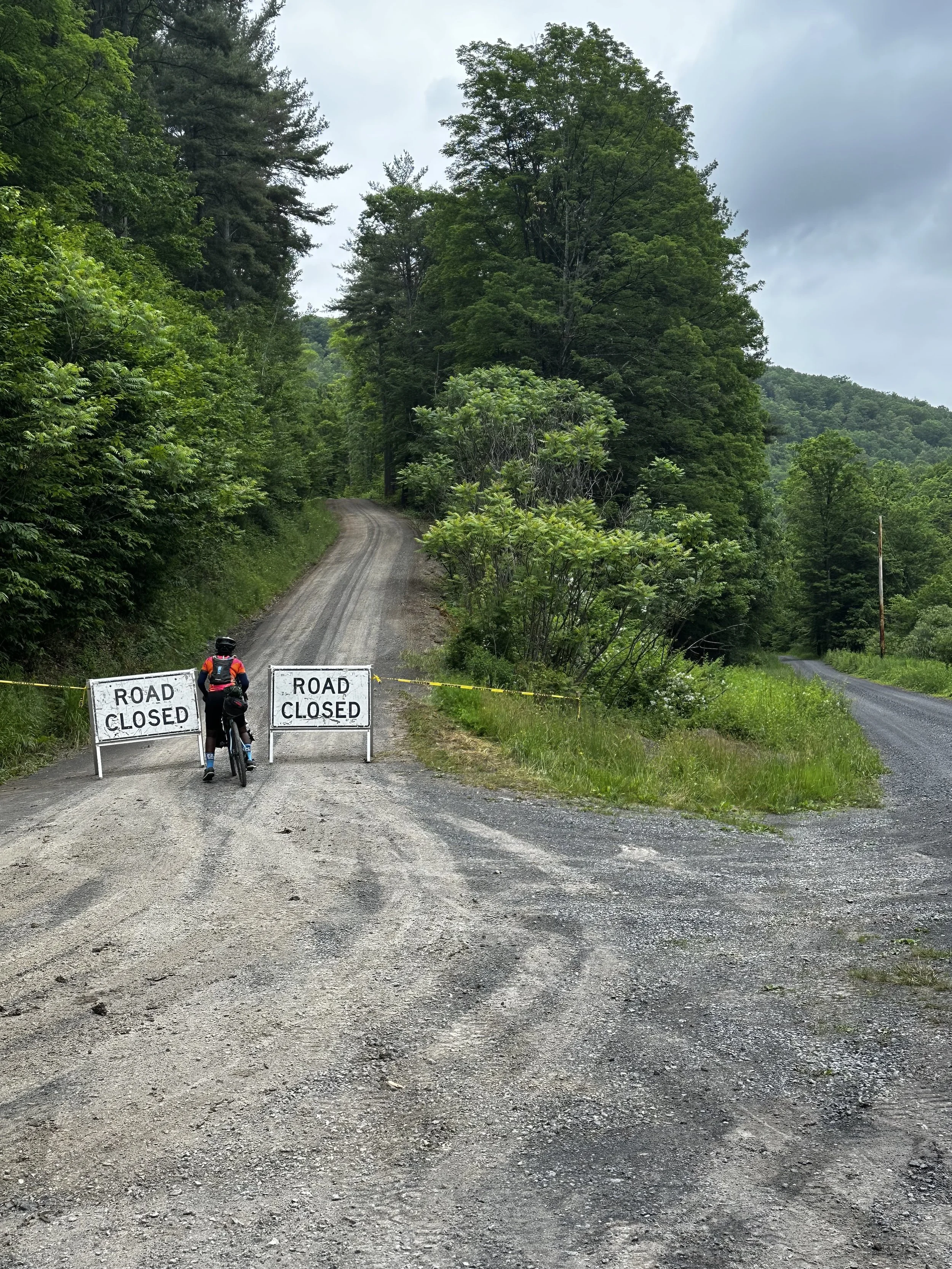
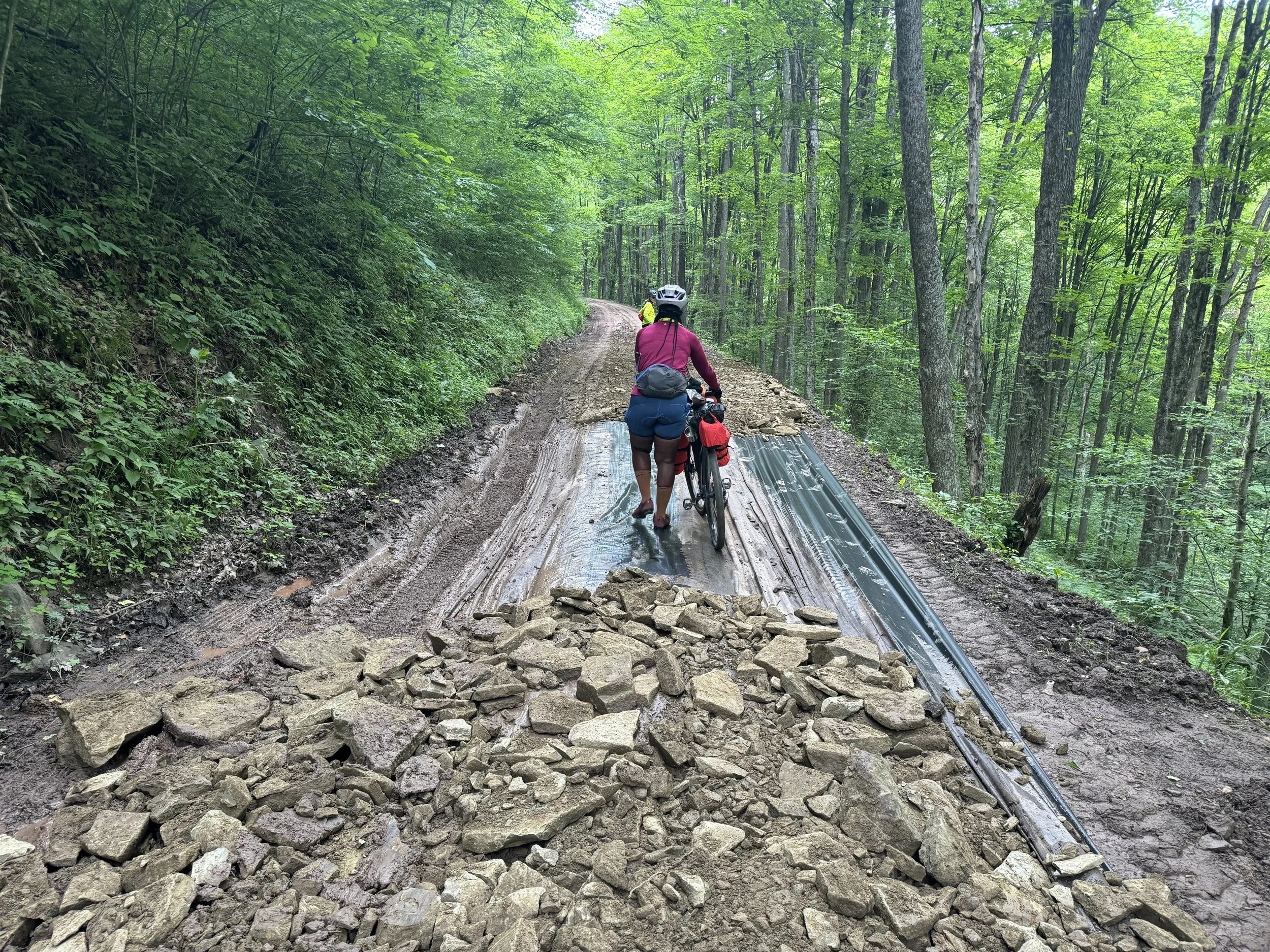
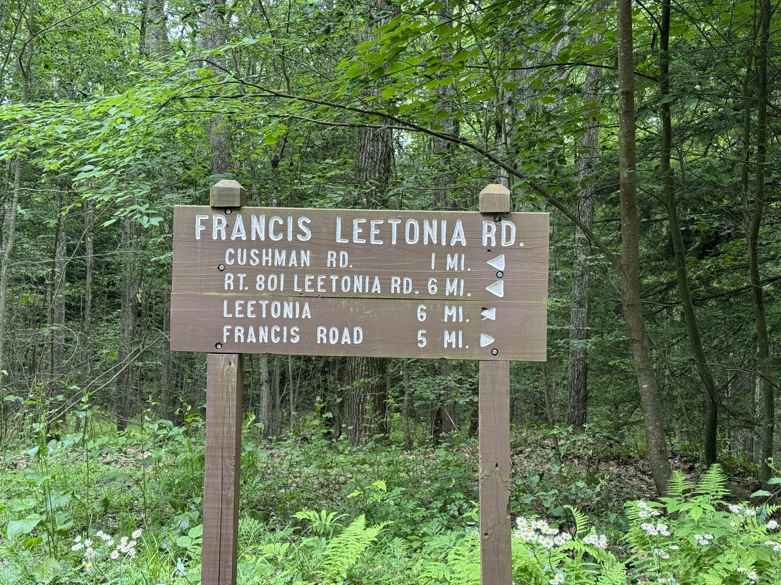
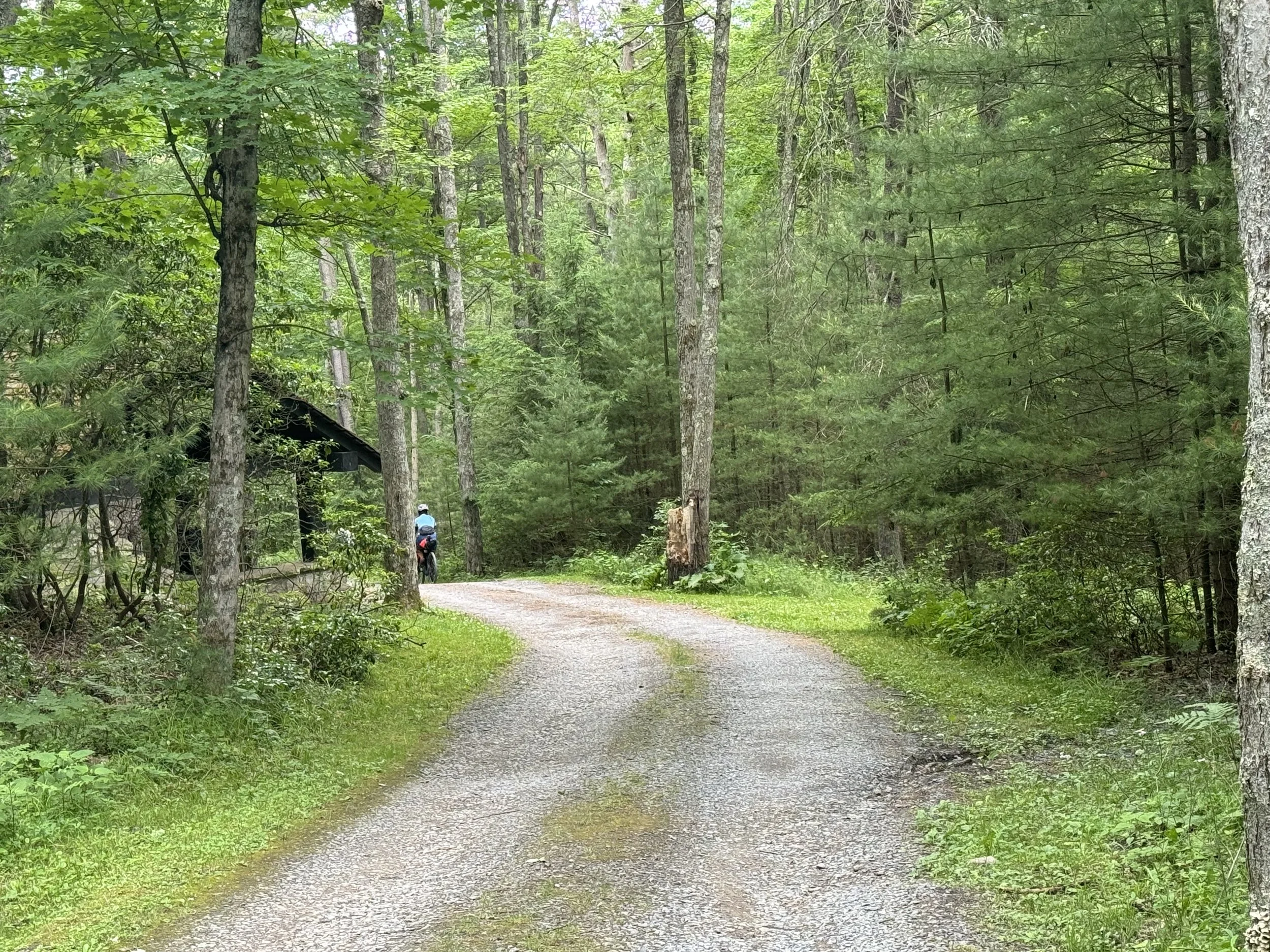
After leaving camp we soon came to a “closed road” partially blocked by signage. With limited reception to find a detour and noting that the 2 road closed signs had a wide gap between them we took that to mean closed for cars and not bikes. So onward progression. We encountered a very muddy road and one section that was sort of washed out which we walked our bikes over the plastic like covering. Later we did see a few trucks with workers descending toward us on the road. They pulled to the side to let us pass without a comment.
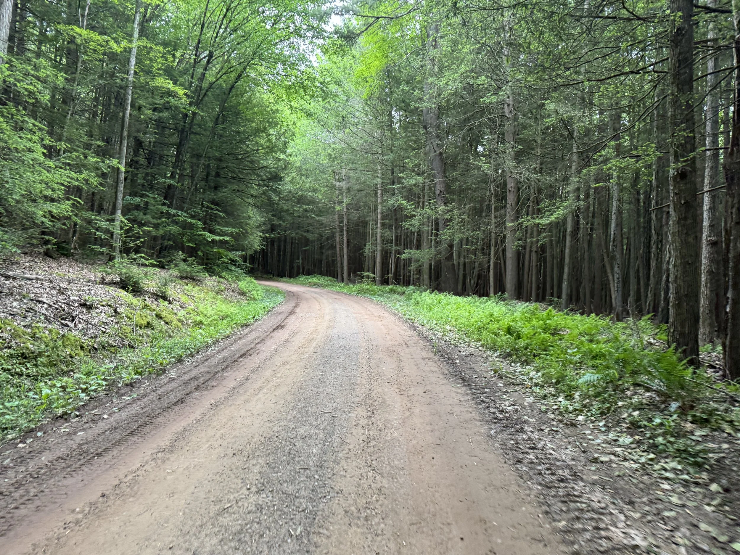
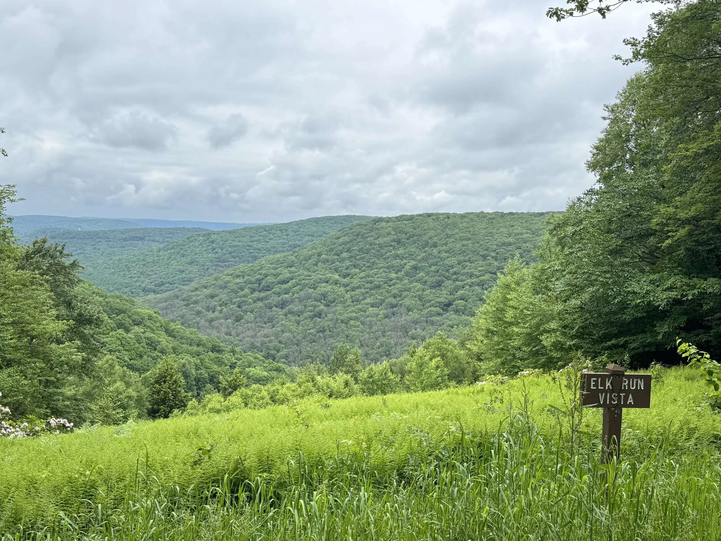
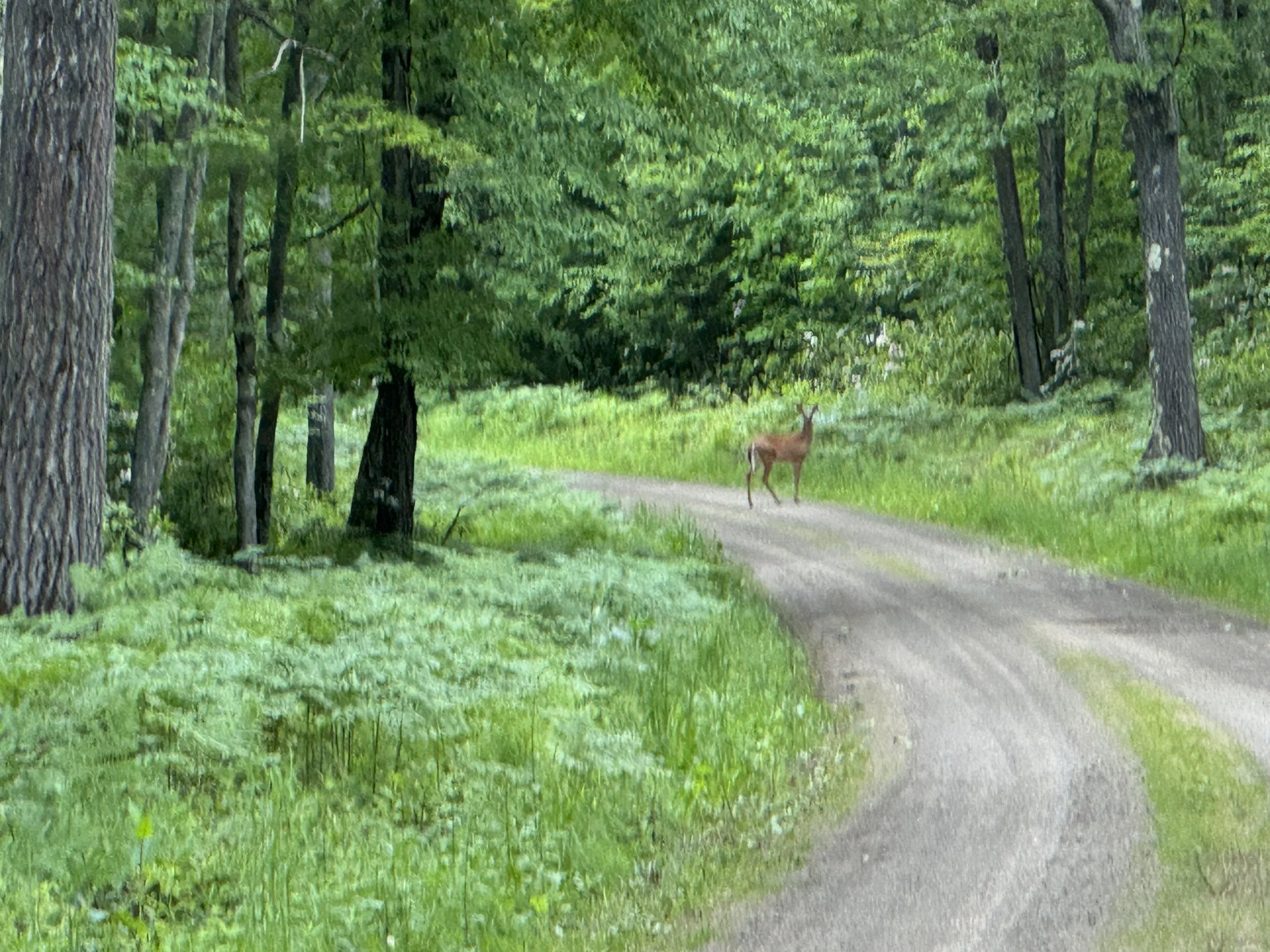
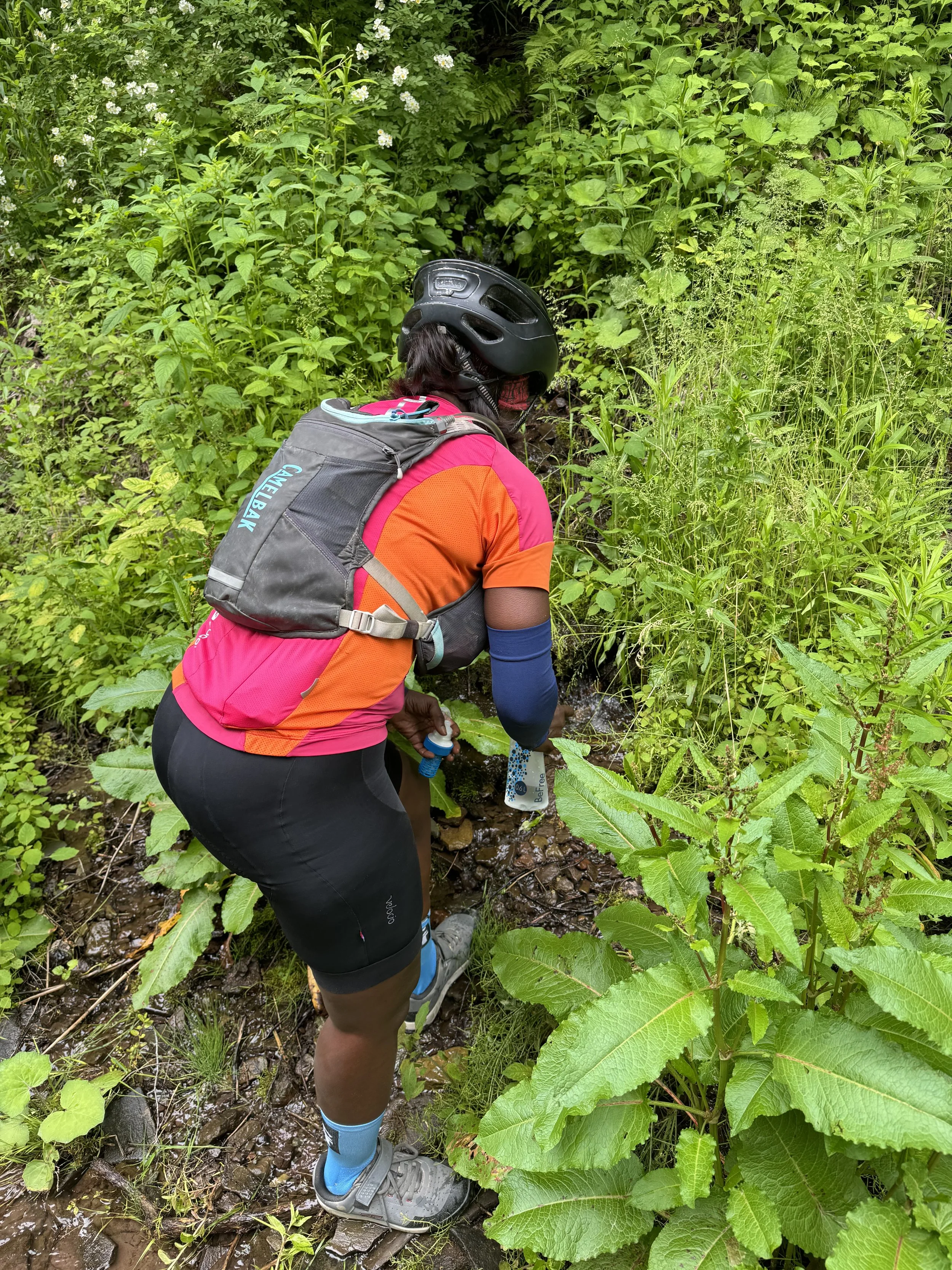
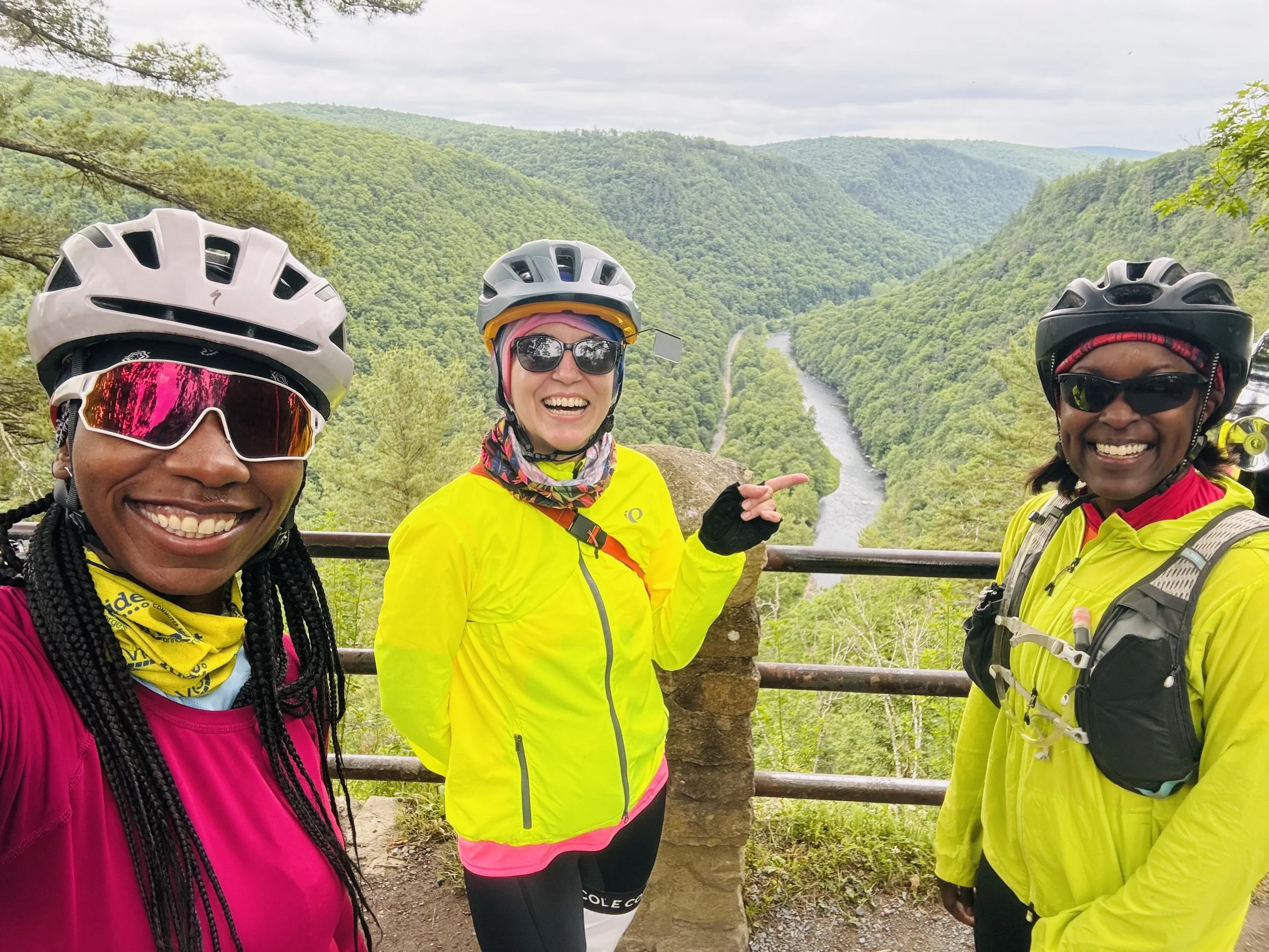
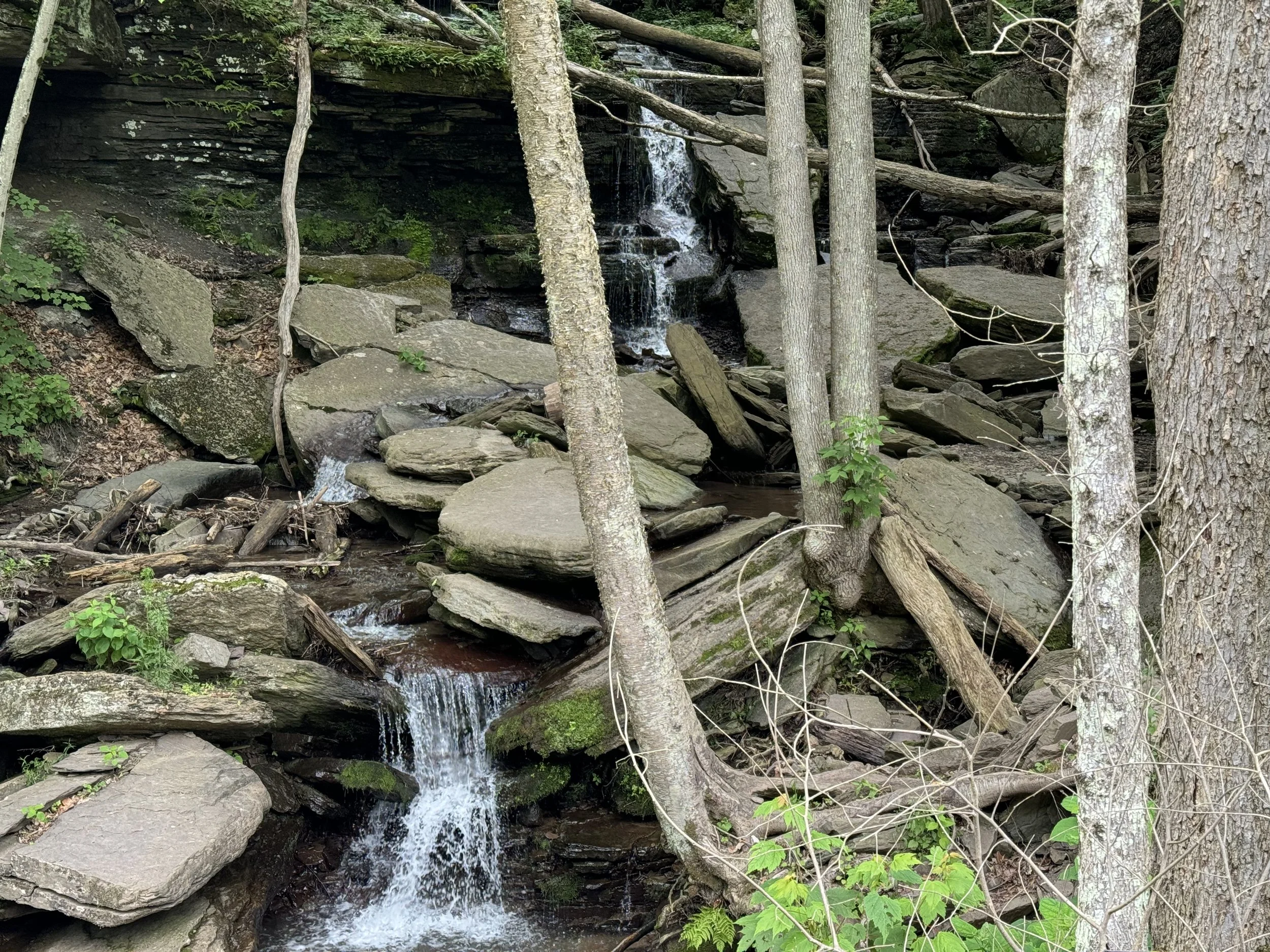
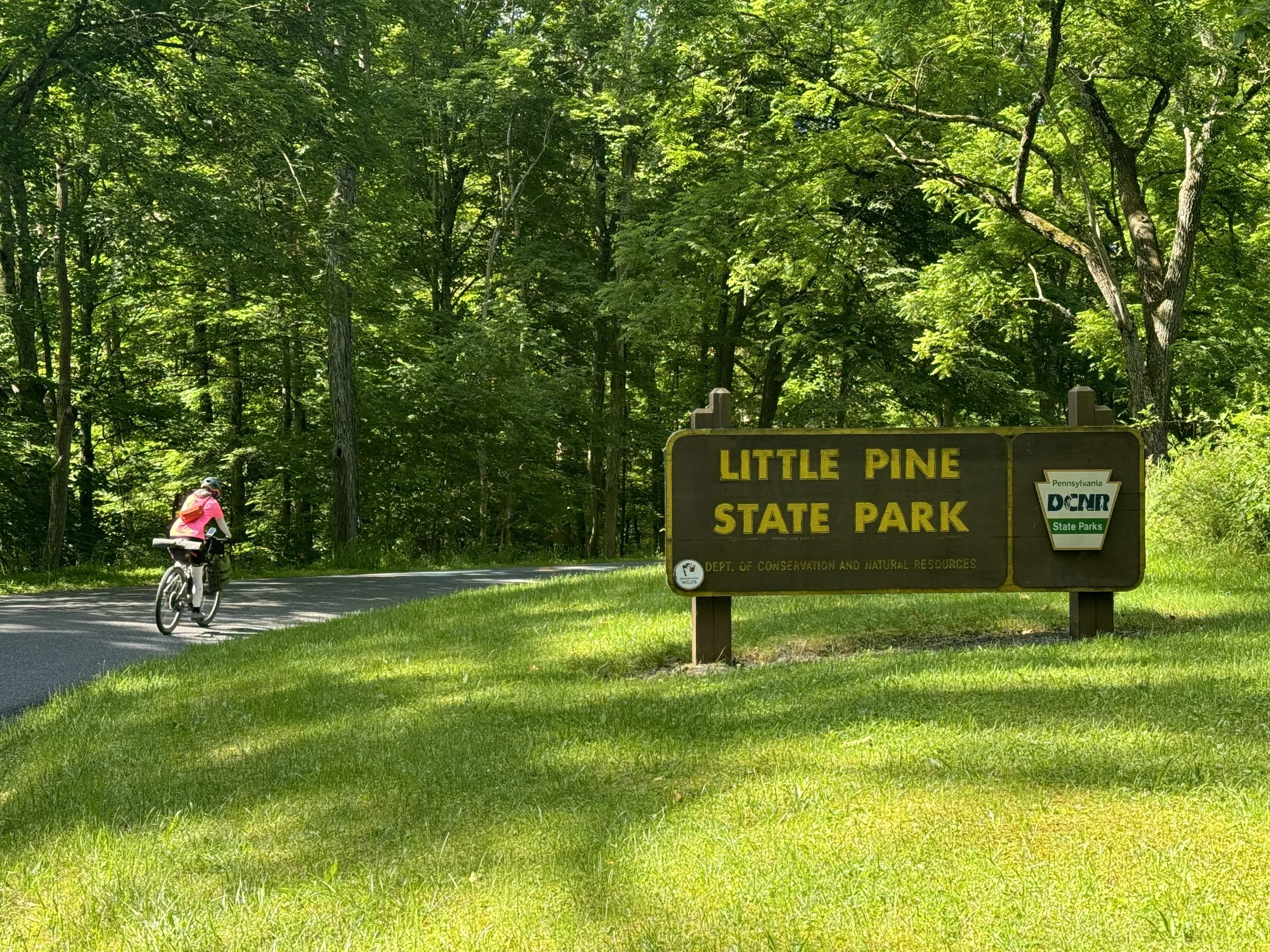
The forest climb up to Colton State Park is scenic, lush with greenery and peaceful. We passed a few scattered cabins without occupants and encountered no cars until closer to the park. We passed several vistas during the climb before finally arriving to Colton State Park. The entire climb is on gravel roads which had muddy sections and a few sections with thick gravel, most however, were quite enjoyable on the clear, temperate day. There was no resupply on the way to the park and we stopped at one point to filter water (my first time). We stopped in Colton State Park to enjoy lunch as well as lingering at several overlooks admiring the gorge below. Leaving the park we had a thrilling descent on paved road back to the trail.
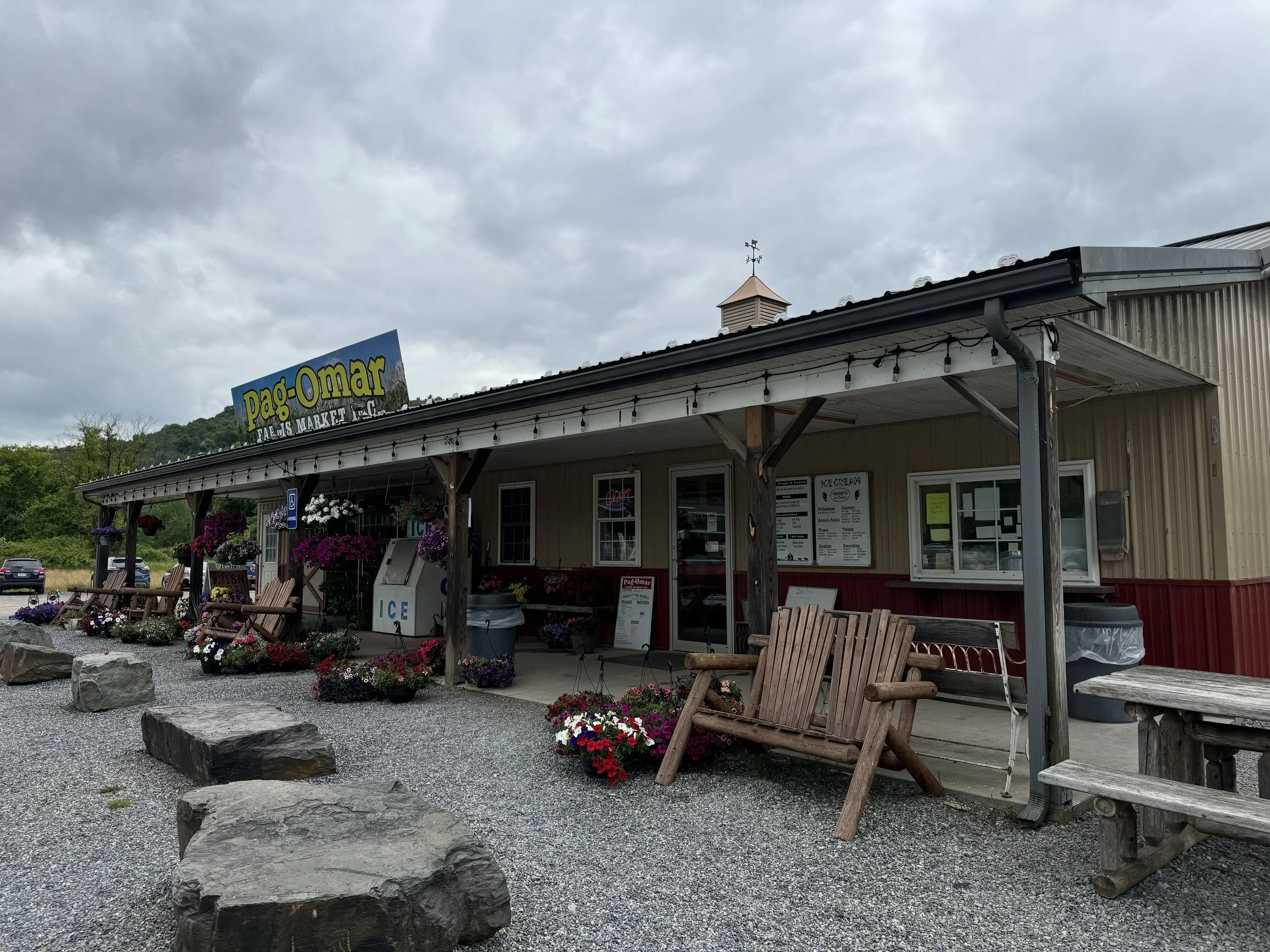
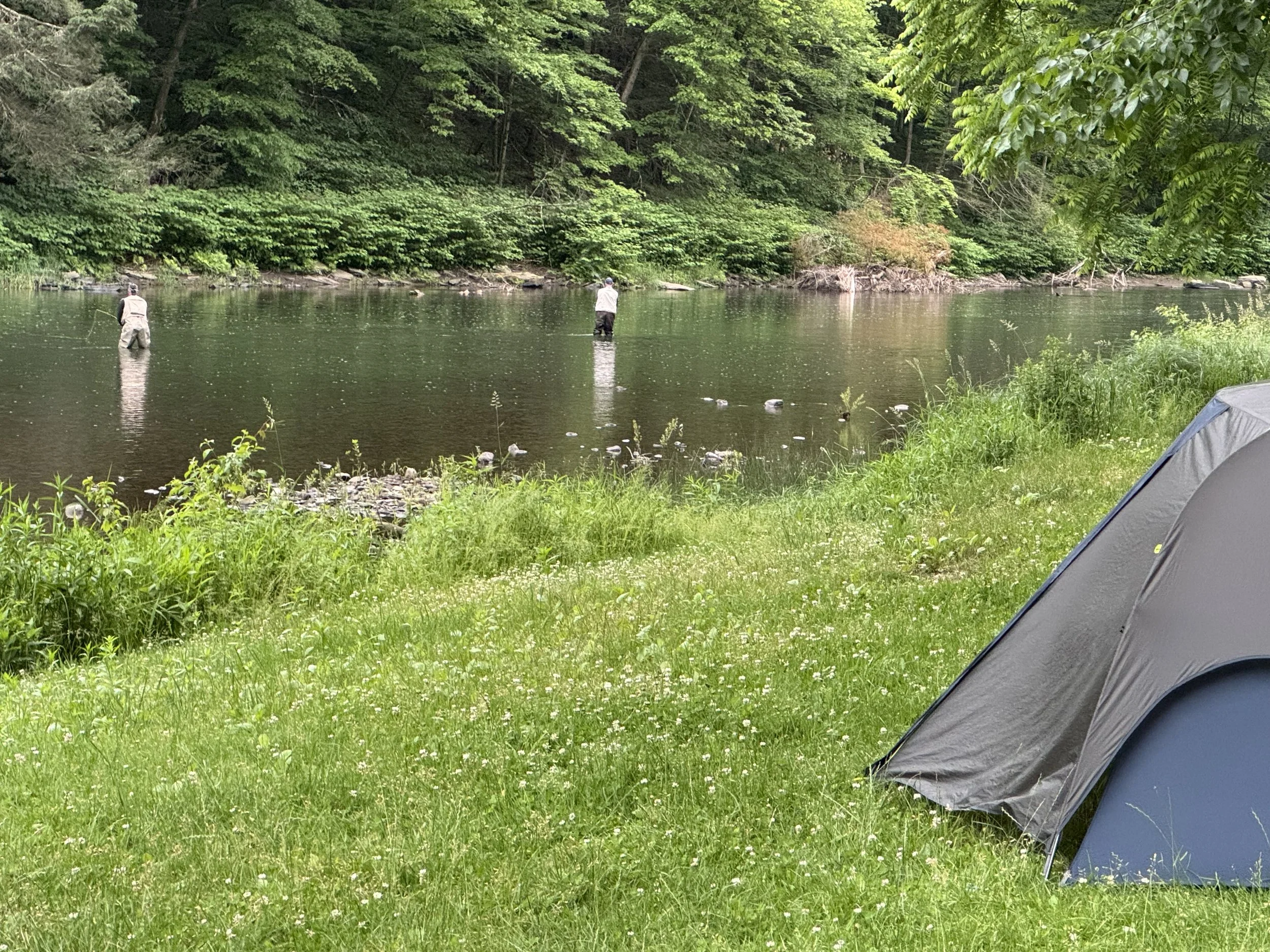
The bulk of the climbing today was in the first 24 miles before once again returning to the Pine Creek Trail for a 7 mile out and back to the Northern Trail Terminus. At the terminus we enjoyed picking up a feast at the Pag Omar Farm Market. They had a large variety of hot and cold sandwiches and salads. There was one dessert left, which I quickly snagged…peanut butter bar…YUM! The wonderful, friendly staff were so patient as we took extra time to order just the right items after eating dehydrated meals the previous nights. We then returned to the trail and found the spot that we had looked down from previously at a Coltan State Park overlook. What a delight to see the view from below and above. A few miles later we were at the the trailside Tiadaghton Campground (for booking purposes this is in Tioga State Forest).
DAY 4 Tiadaghton Campground back to Jersey Shore Trailhead 45.3 miles and 1960 feet elevation
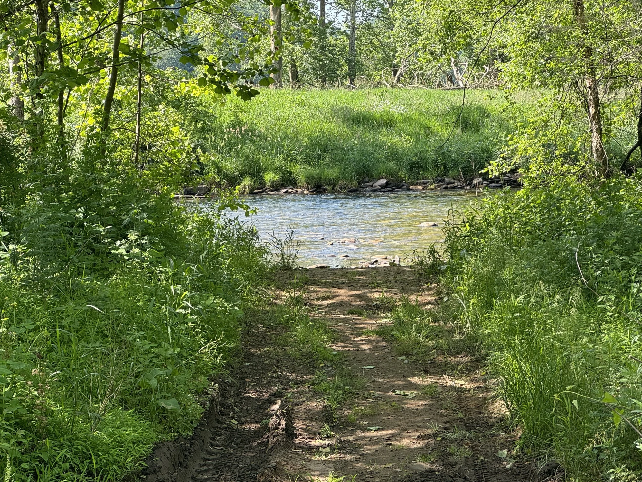
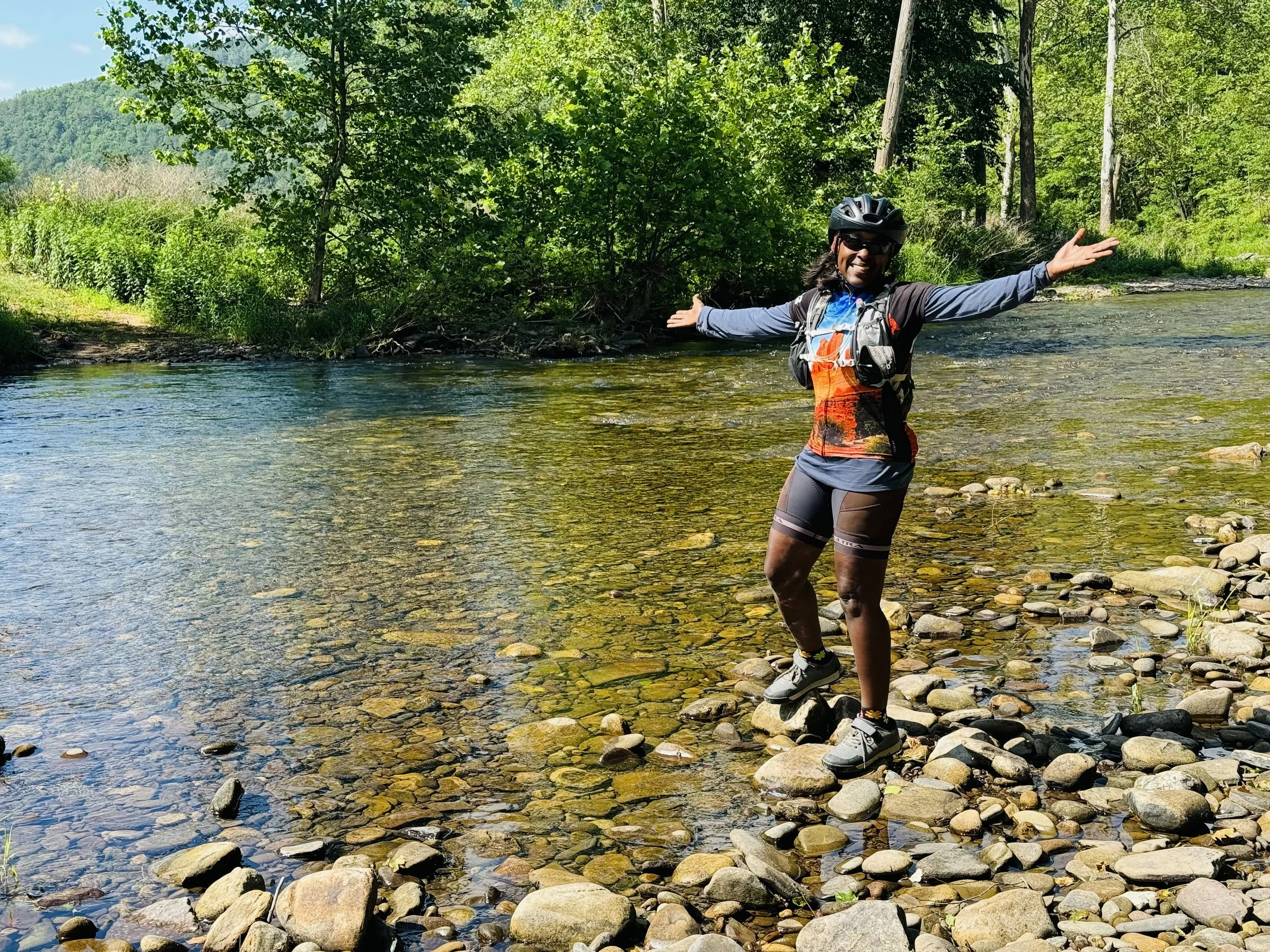
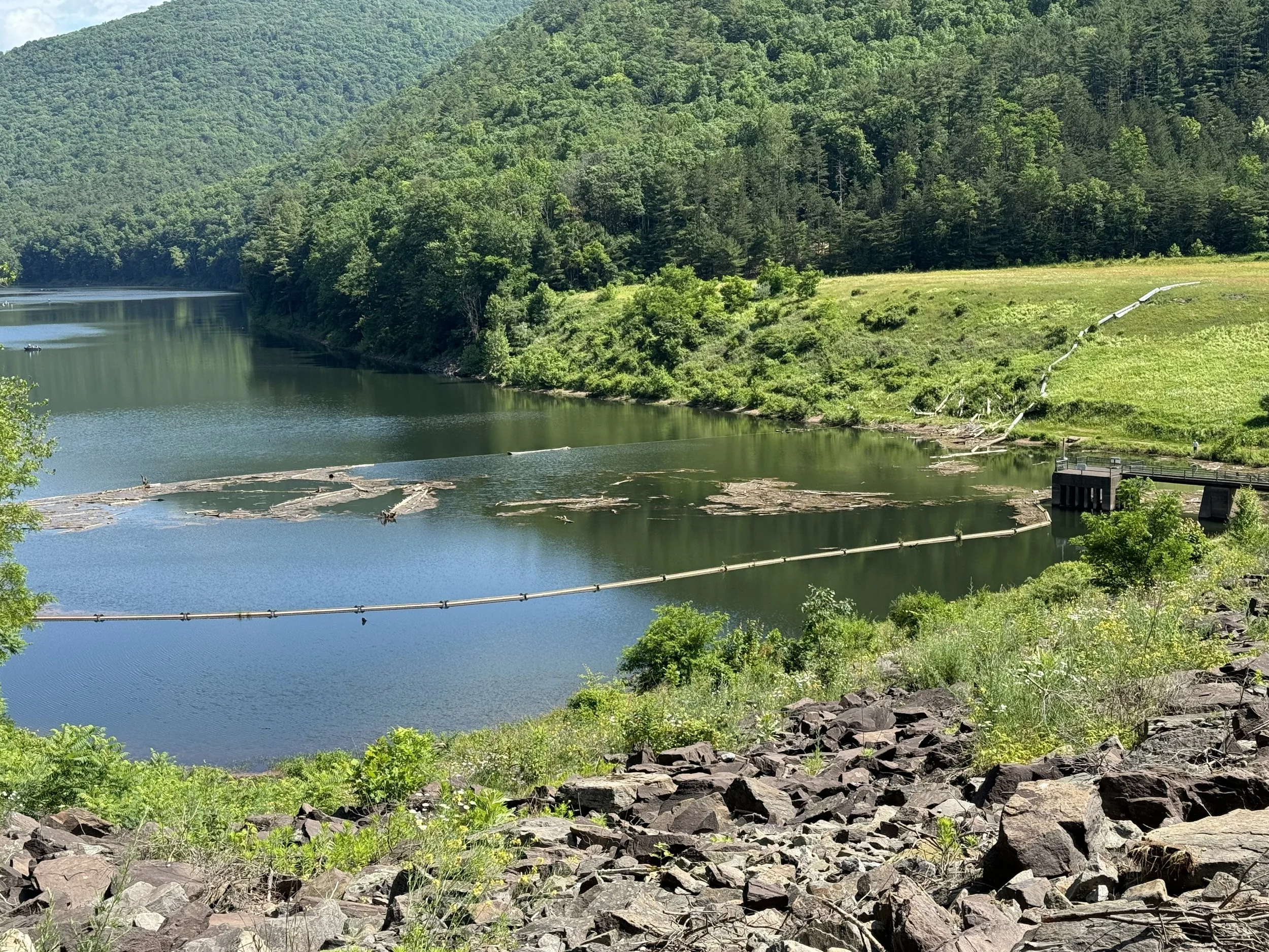
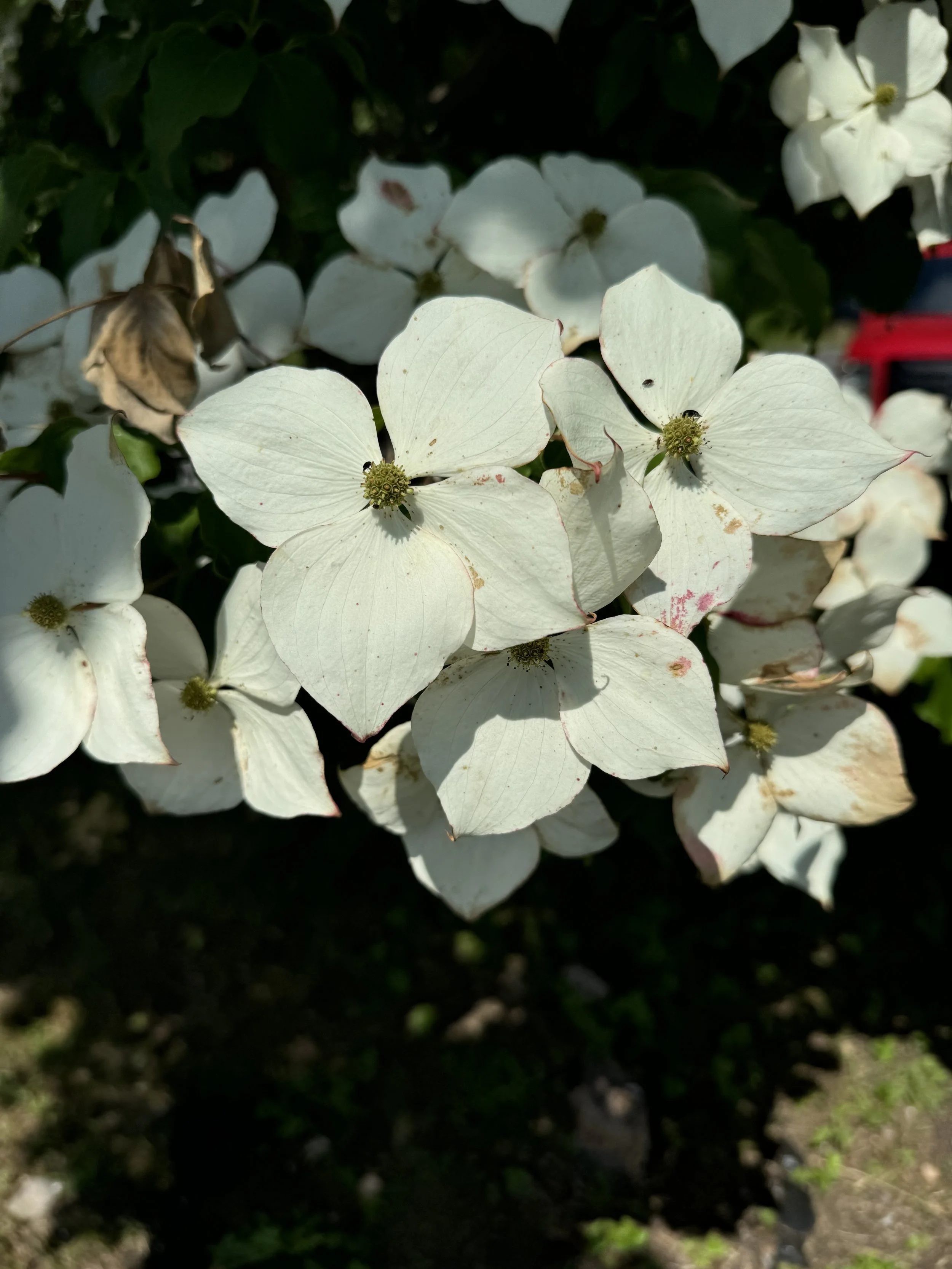
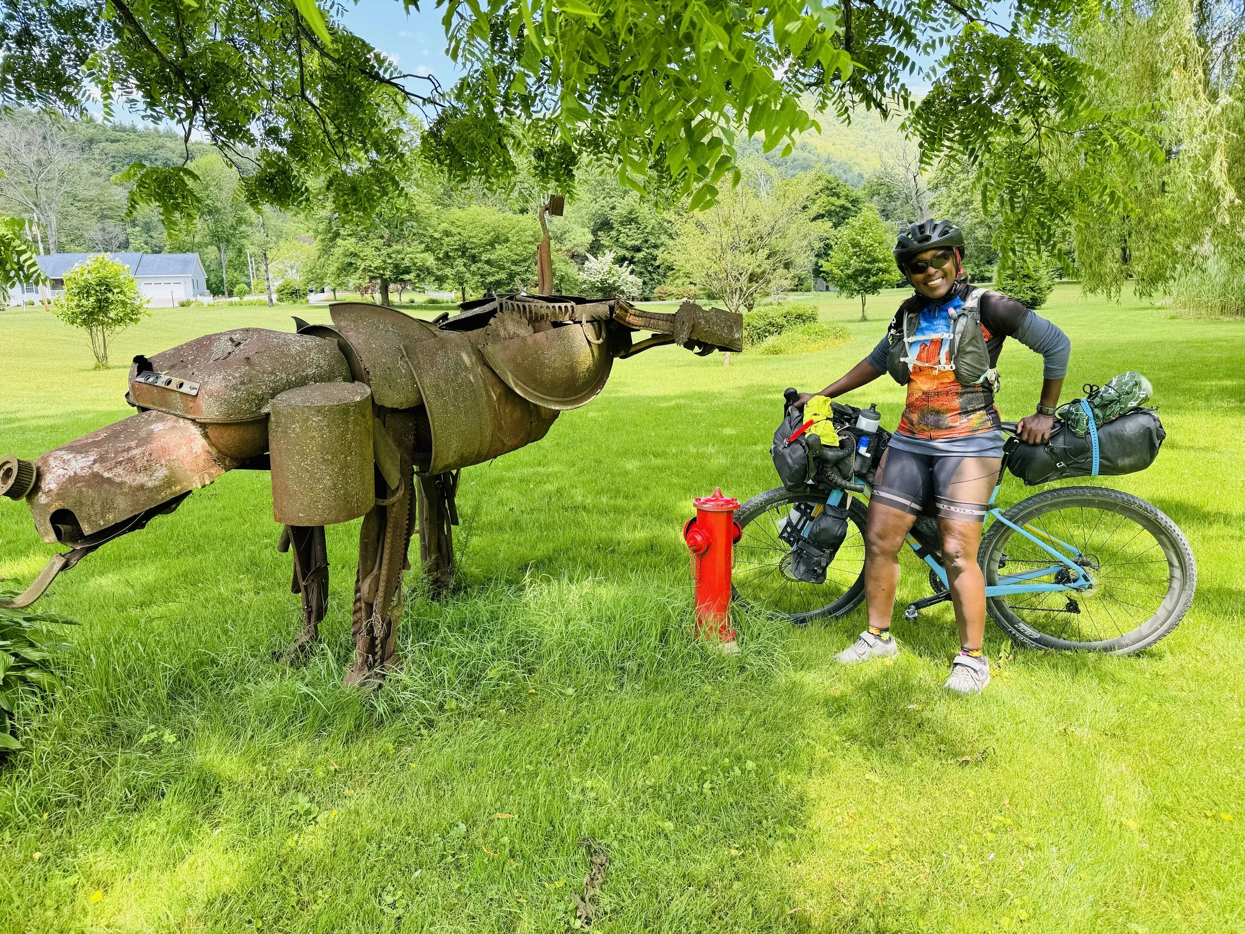
We woke up to a beautiful morning. Temps were in the 50s overnight and reached low 70s with the day ending in sunshine. We took Pine Creek Trail back to Miller’s Store and then turned on a short section of paved road before a quick right onto a rough gravel climb. After the climb the gravel conditions improved and the views remained scenic through green forest with no cars until we reached Little Pine State Forest and paved roads. We noted once again the route was to take us onto a trail. There was a wide stream crossing but it seemed passable. The opposite side appeared to be a tall prairie grass like area. We stopped at the stream but in the end decided to keep to the paved road up to the Little Pine State Park. The state park was beautiful with shelters, boat rentals and a playground. We stopped at the dam and could see where the “trail” would have taken us. Looking at the state park map it appeared to be a hiking trail. In any case we admired the Dogwood trees that were in bloom at the dam and then finished the descent back to Waterville. We once again stopped at the general store for a few enjoyable snacks and chatted with a few other customers about our trip and listened to their stories. One mentioned there was an interesting dog sculpture that was not to be missed just before Jersey Shore. Suzanne was determined to find it and it was an interesting and funny sculpture of a dog peeing. The sculpture was a great ending to an awesome 4 days of riding in the Grand Canyon of Pennsylvania!
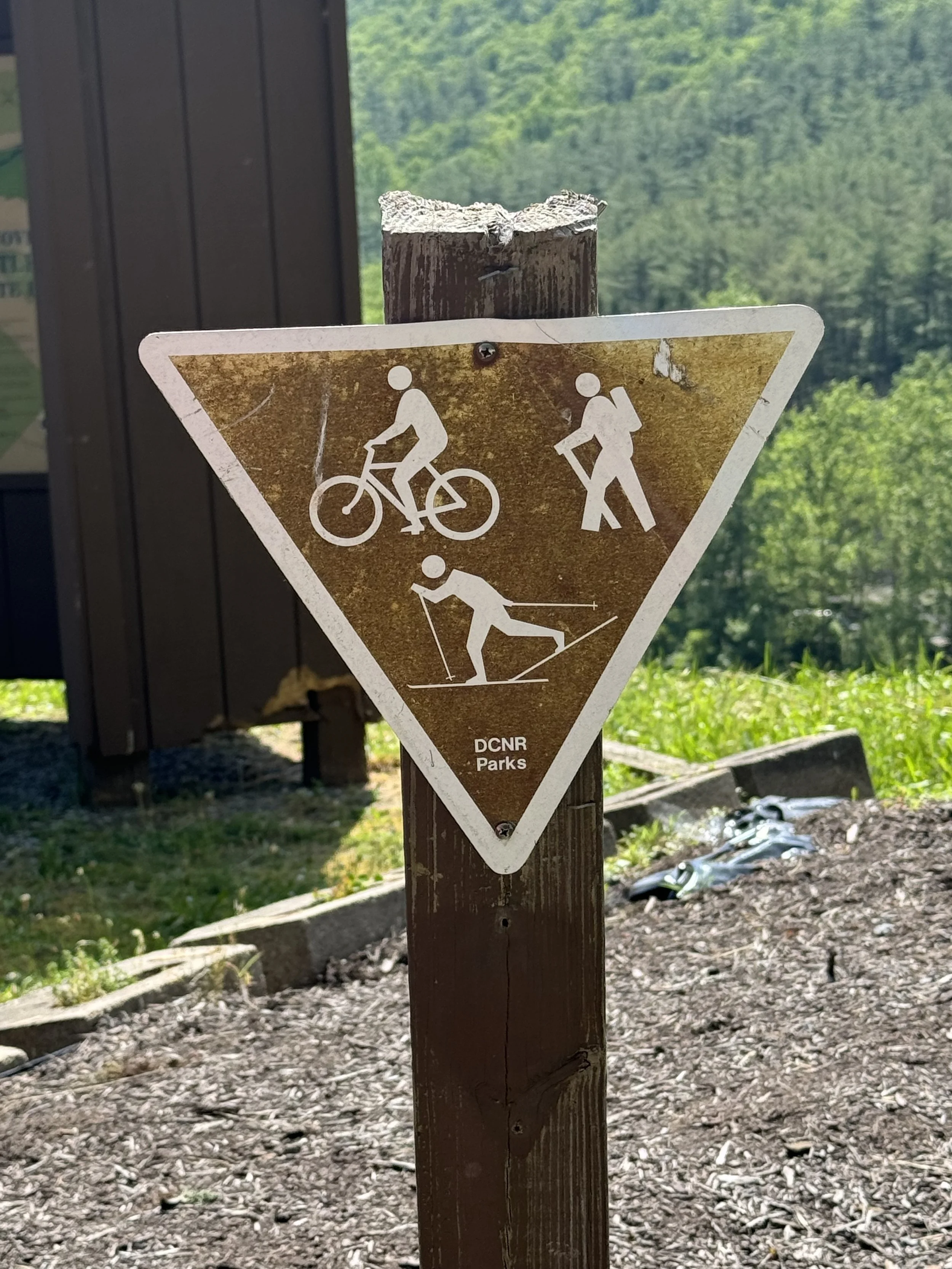
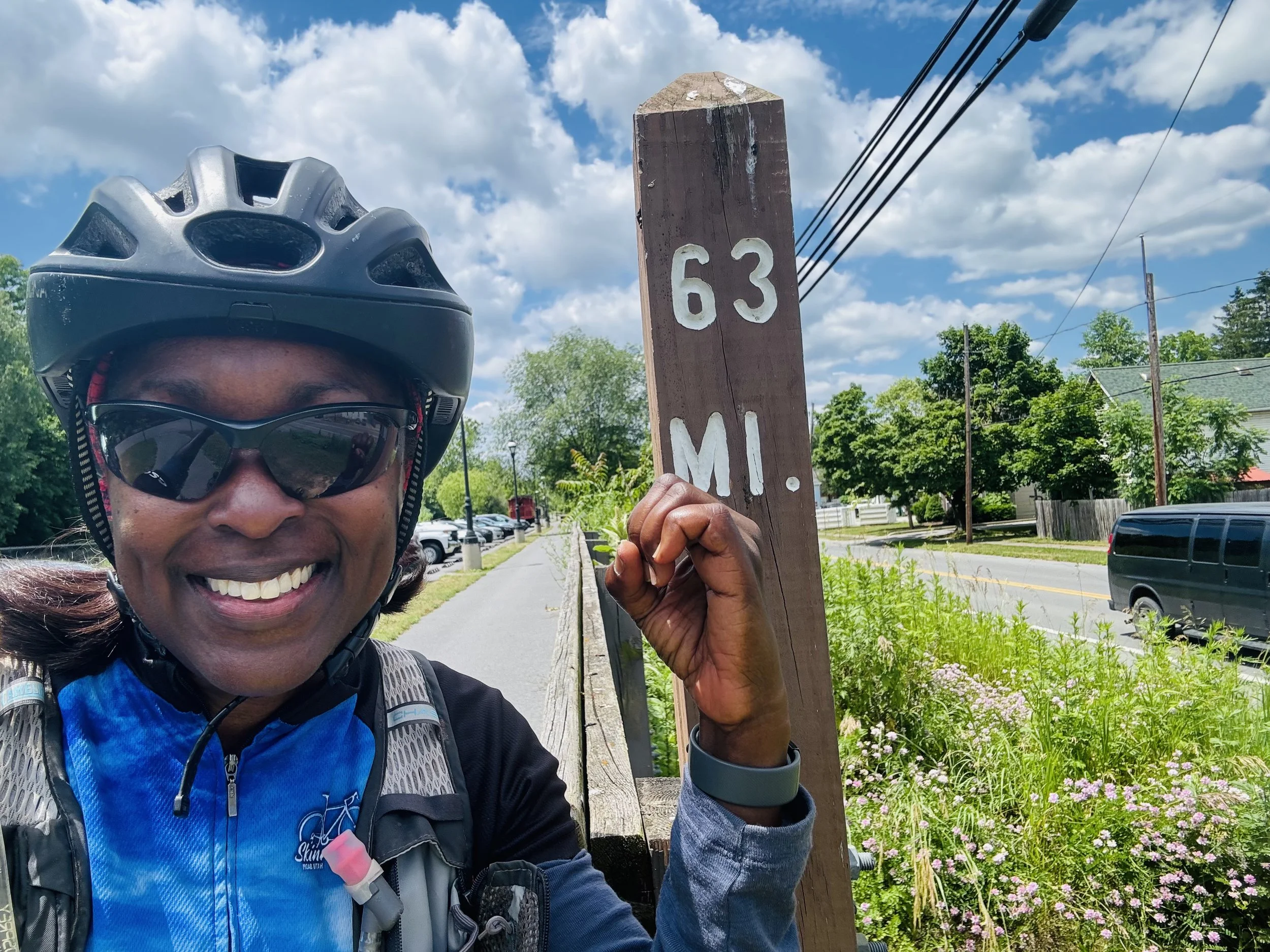
We did ride a few additional miles on the connector trail to Jersey Shore that started at the trailhead parking lot. And most importantly, though we did not indulge, all the general stores we stopped at had ice cream. The route is indeed a wonderful one for beginning bikepackers as all the climbing is doable (even without all your climbing gears). You could also just ride the 63 mile Pine Creek Trail as an option. There are also a few indoor lodging options on the trail.

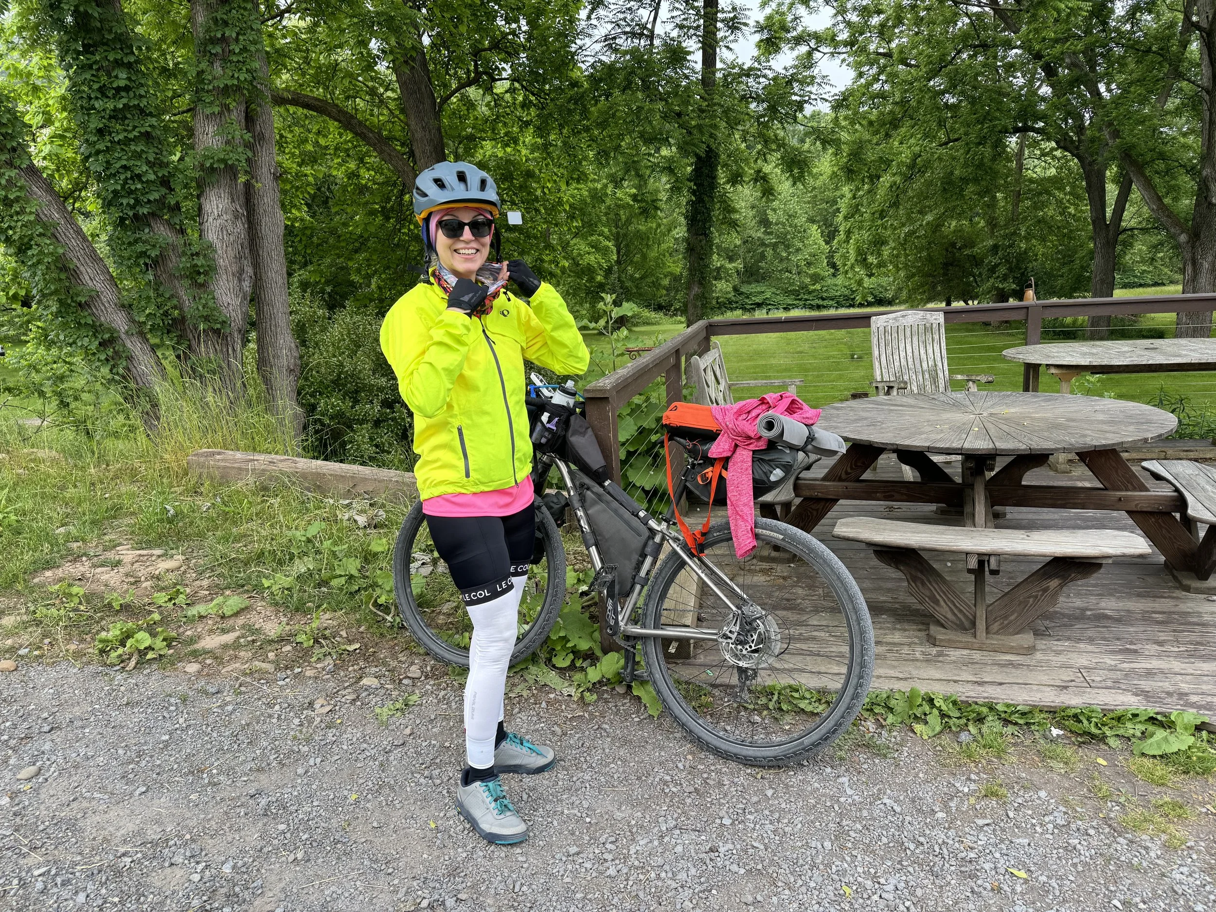
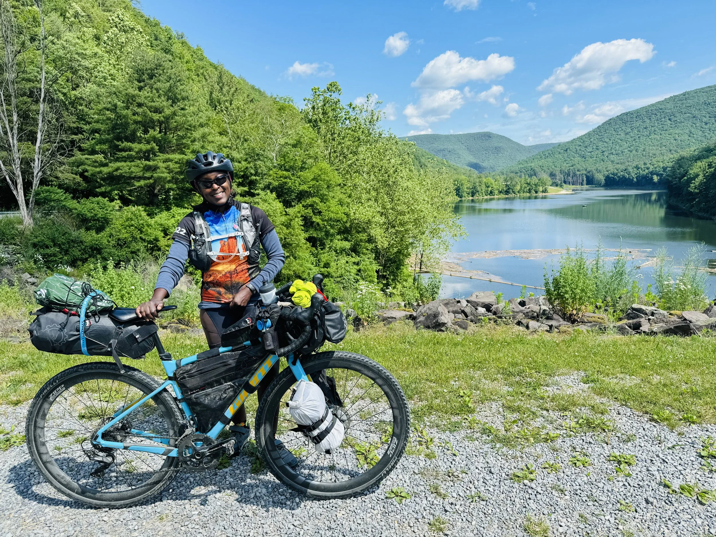
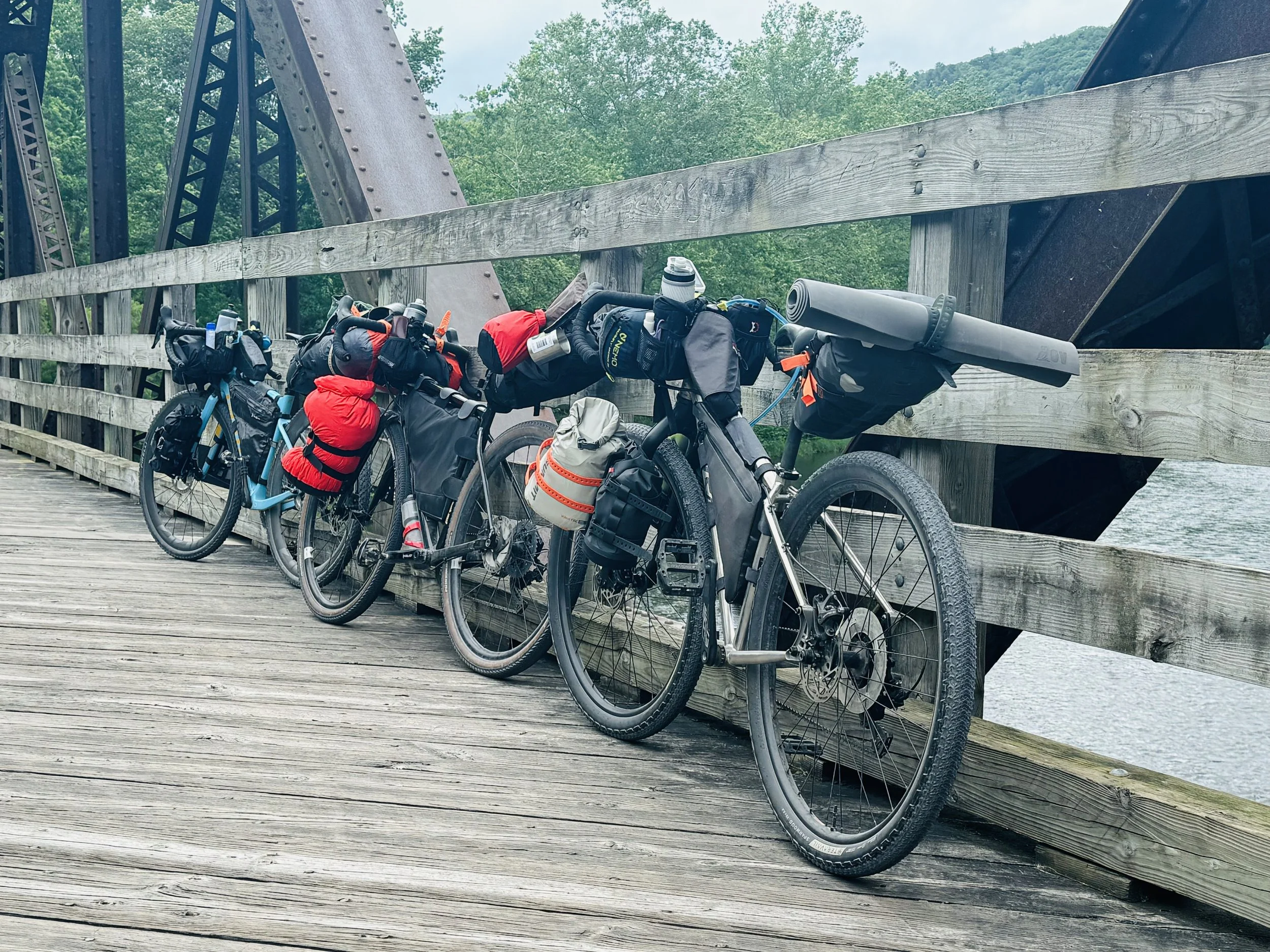
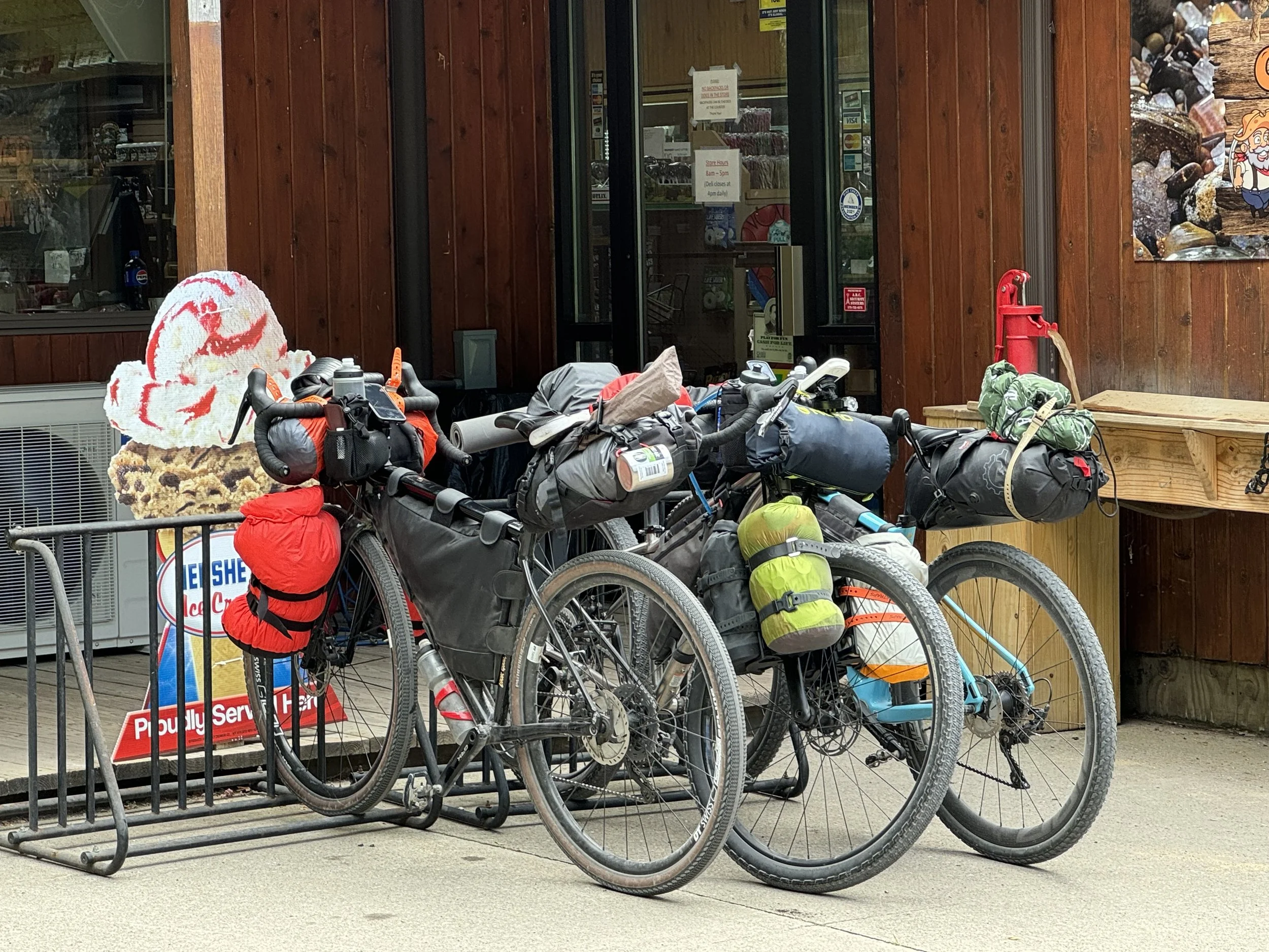
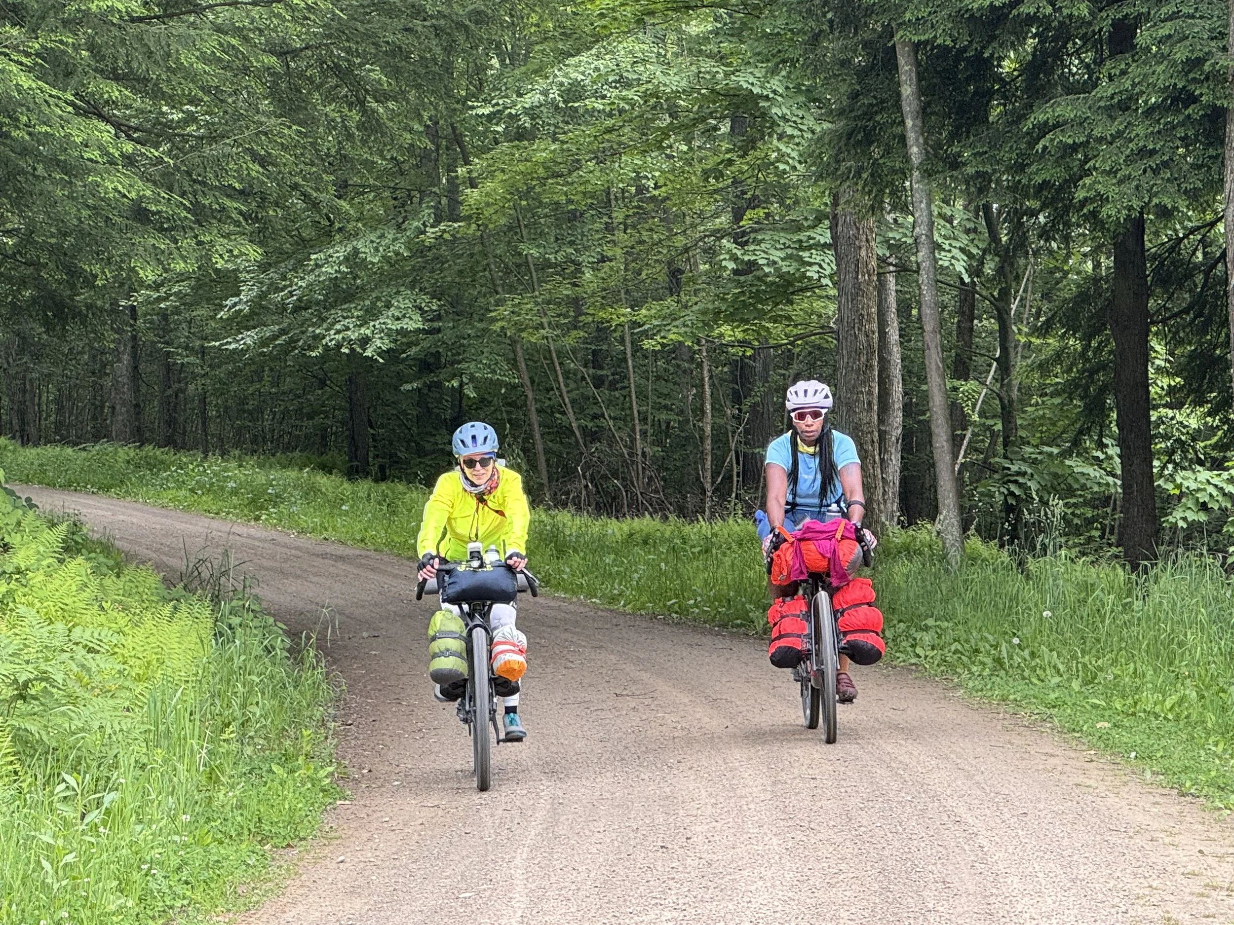
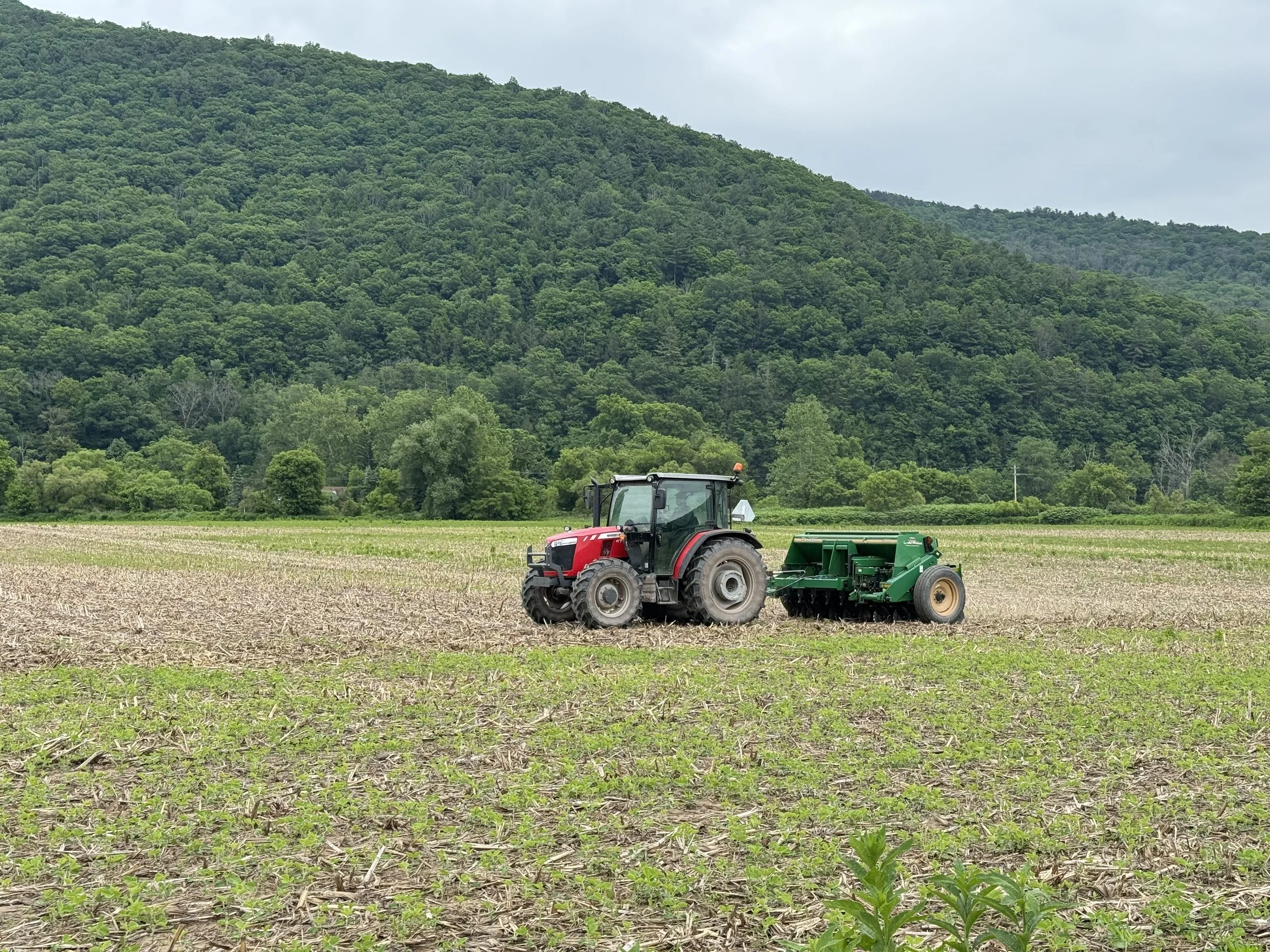
Gear: This trip I finally utilized my front fork bags using the same set up from Teresa Patrick’s post on bikepacking with a small frame. Link. All other gear was the same from my previous trips. Tia was on a Specialized Diverge and Suzanne on a Salsa Fargo. All gravel roads were easily rideable on 38-40 mm gravel tires.